
Halloween morning will dawn with a cold rain. Coverage of rain will increase rather dramatically after midnight and continue through the morning rush before tapering off mid to late morning. An additional 0.50″ to 0.75″ will be common by the time this next round of rain moves out.

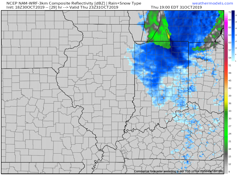
Colder air will begin to whip into central Indiana late morning into the early afternoon, accompanied by strong and gusty WNW winds. After a lull in the precipitation, snow flurries and scattered snow showers will develop across the area after lunch, potentially becoming a bit steadier (especially from Indianapolis and points north) during the 6p-8p time frame. Yes, trick-or-treaters (kids and adults alike) will need to be bundled up!
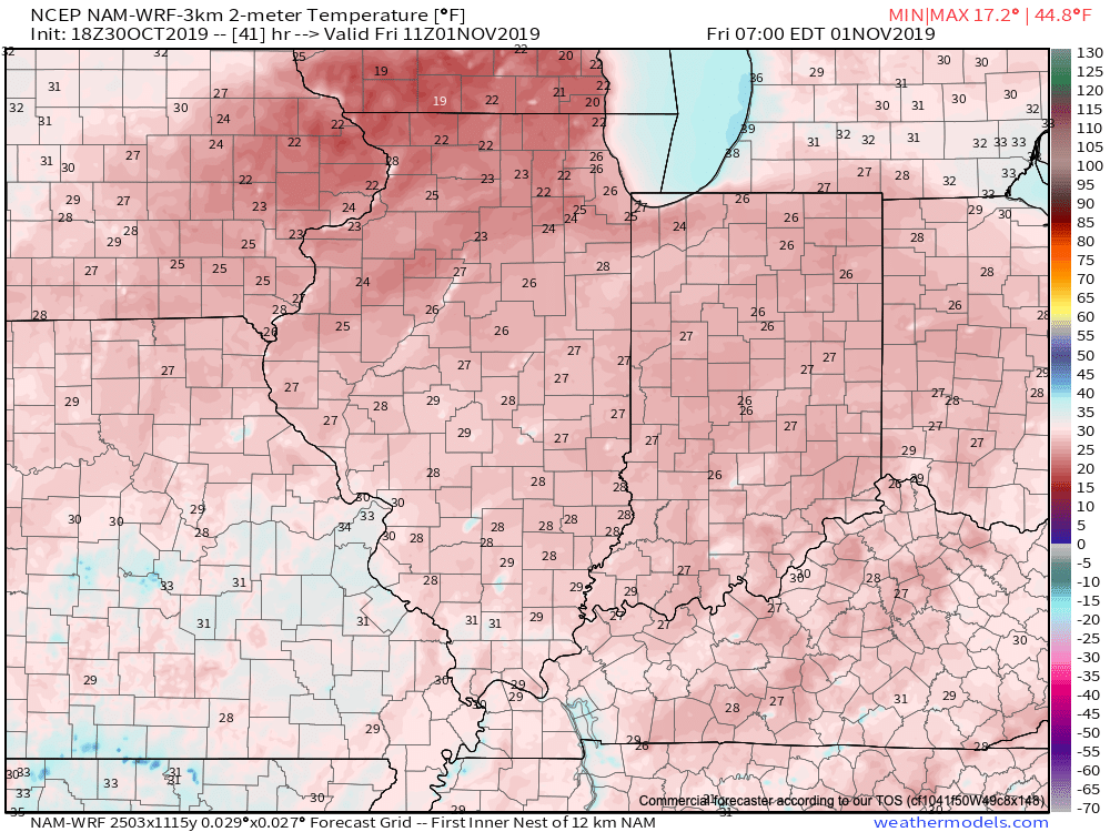
Snow will end rather abruptly between 9p and 10p and then the story will be the cold. By daybreak Friday, all of the region can expect to be in the middle 20s with wind chill values in the 10s.
With the MJO focused on rumbling into Phase 5 (and eventually 6), along with a deeply negative EPO and slightly positive PNA, it’d be wise to gear up for more “out of season” cold and potentially wintry conditions as we move through the 1st half of November…
