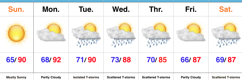
 Highlights:
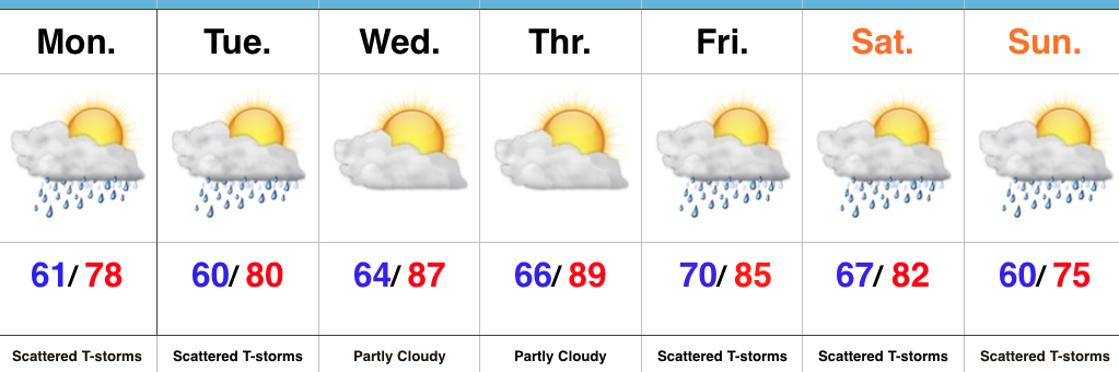
- Feelin’ nice
- Scattered storms remain
- More widespread storms late week
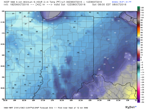
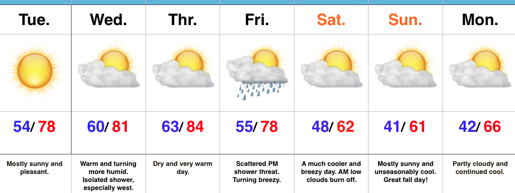
Pleasant Open To The Work Week…A step out the door this morning will reveal a much more pleasant feel than what we’ve grown accustomed to over the past week, or so. Much lower humidity and cooler air will be with us through the day Tuesday. With that said, enough upper level energy will be nearby to spark afternoon and evening showers and embedded thundershowers both today and Tuesday.
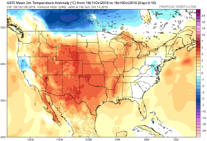
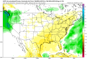
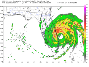
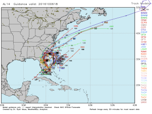
Humidity will return for the midweek stretch, and temperatures will also be on the climb. While the weekend looks unsettled, the precise details remain a bit “murky” at this point. We know a cold front will slice into the warm and humid air mass, which will serve as a trigger for more widespread showers and thunderstorms (some with locally heavy rain). Some model guidance wants to get tropical moisture involved (from whatever comes of what’s currently Invest 93L). Stay tuned as we continue to look over the data this week. Regardless, a much cooler and drier air mass will arrive next week…
Upcoming 7-Day Precipitation Forecast:
- Snowfall: 0.00″
- Rainfall: 1.00″ – 1.50″

 Highlights:
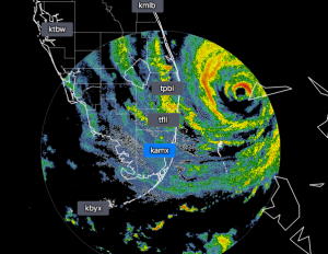
 2.) A cold front will pass through our neck of the woods as we put a wrap on the work week. While moisture is limited with the front, a much cooler air mass will greet us out the door Saturday morning. A light shower is possible Friday afternoon or evening, but this won’t be a big deal and most high school football games will remain dry. Temperatures Saturday morning will be in the 40s with lingering low clouds and areas of fog possible. We should shake the morning low cloudiness and allow for sunshine most of the day. Temperatures will remain crisp; generally in the lower to middle 60s for highs.