
Updated 05.30.21 @ 11:09a
Forecast period: 05.30.21 through 06.06.21
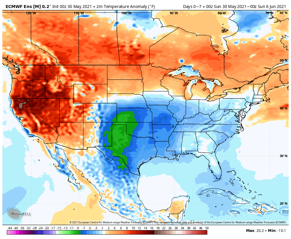
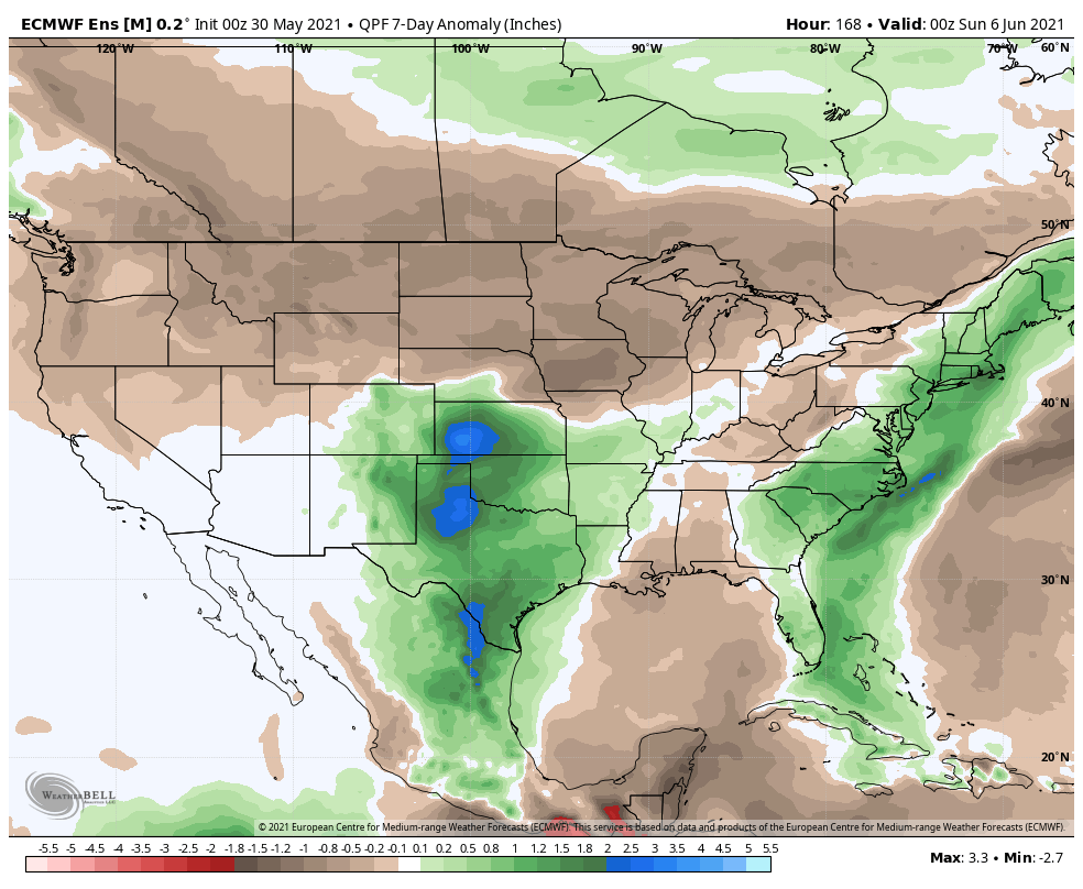
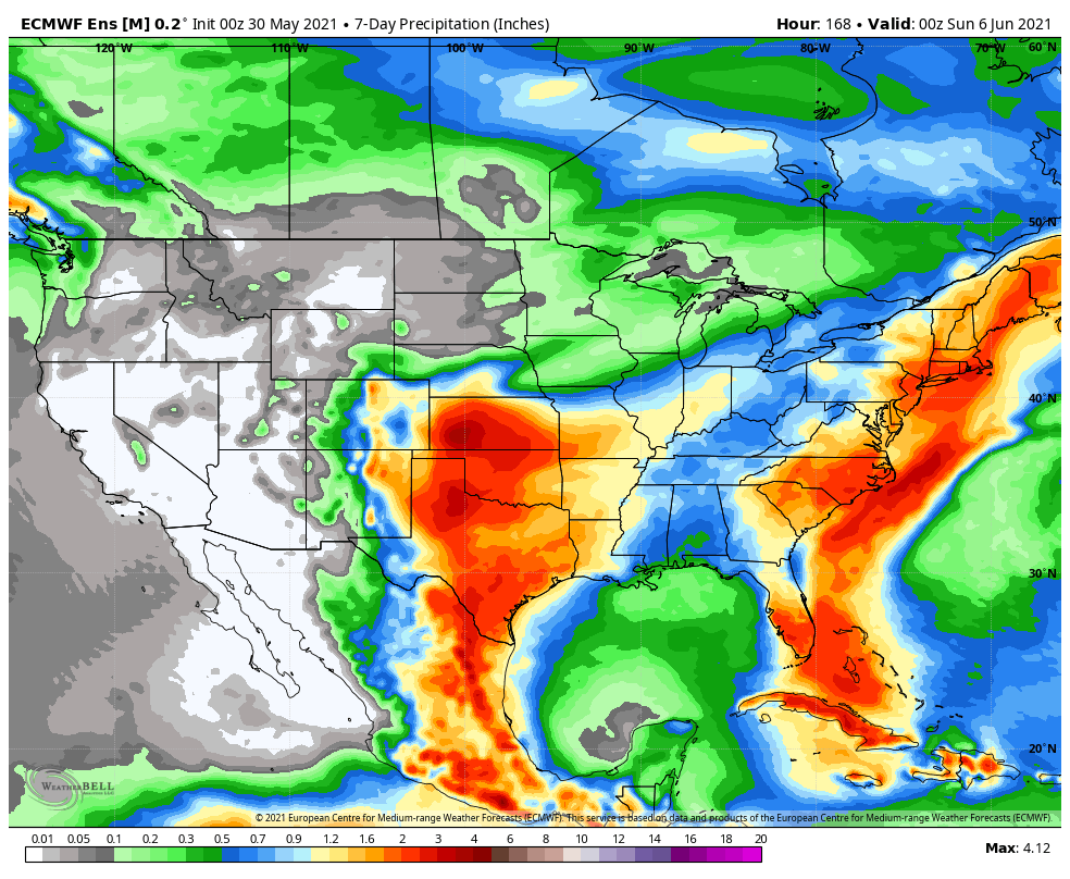
Refreshing times will continue to dominate through the remainder of the holiday weekend. While dry and unseasonably cool air will grab the headlines in the short-term, changes will arrive by midweek as a storm system blows into the Ohio Valley. Shower and thunderstorm chances will be on the increase by Tuesday night and Wednesday and some of these storms may contain locally heavy rain. A broad southwesterly flow will keep things feeling more typical for this time of year for the 2nd half of the week, as well. More seasonable temperatures can be expected late week (lower 80s for daytime highs) along with an increase in humidity levels providing daily chances of afternoon/ evening “splash and dash” storm coverage.