
Updated 05.15.21 @ 7:29a

Forecast Period: 05.15.21 through 05.22.21
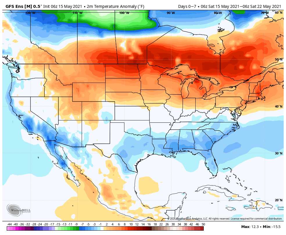
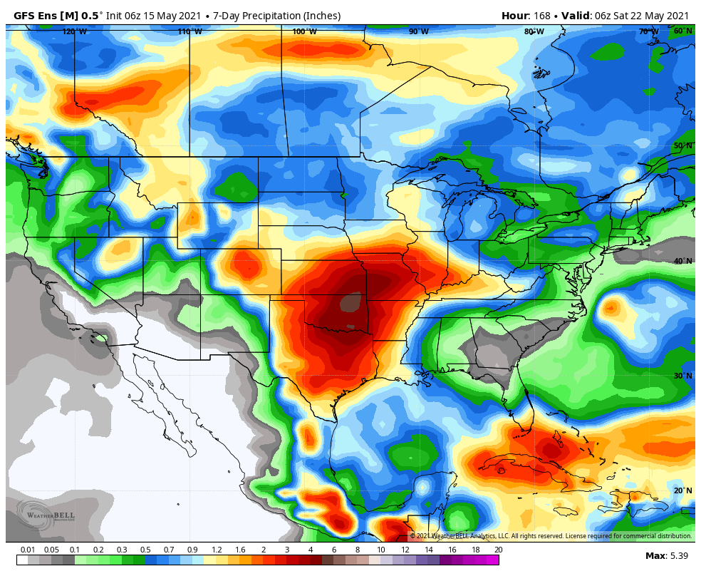
Change is ahead over the upcoming week towards a pattern more typical of what we’d come to expect this time of year. We’ll say goodbye to the cool, crisp air in the short term period and replace it with an increasingly warm and muggy feel of things. Scattered showers and thunderstorms will accompany this transition. While the chances of widespread heavy rain are diminishing, we will see scattered to numerous showers and storms during the early and middle part of the work week. These will be of the “splash and dash” variety and certainly won’t require any cancellation of outdoor plans. High pressure appears like it’ll nudge its way into the region Wednesday night, allowing us to enjoy another stretch of dry conditions as we close the work week and head into next weekend.