May 10, 2021 archive

Weekly #AGwx And Severe Weather Outlook…

Updated 05.10.21 @ 8:32p

Temperatures will continue to run well below normal, overall, through the upcoming 7-day period.
While above normal rainfall is expected along the Gulf Coast, most of the country will enjoy quiet and drier conditions through the upcoming period.
We forecast 0.25″ to 0.50″ over the upcoming 7-day period for central Indiana. Most of that falls today or next Monday.

Forecast Period: 05.10.21 through 05.17.21

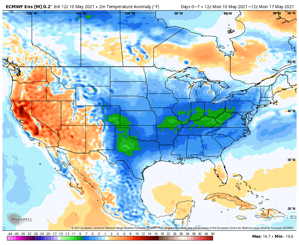
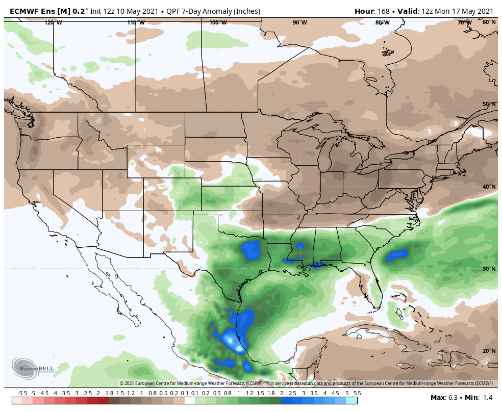
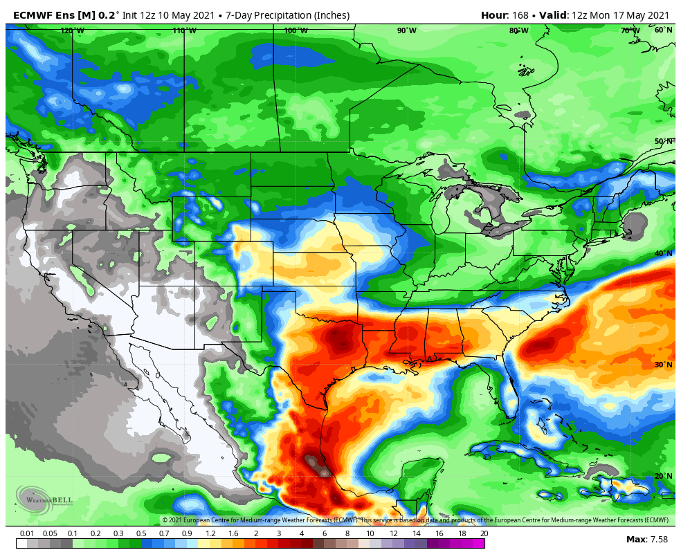
The upcoming forecast period will be met with unseasonably cool and dry conditions. While we have some showers to track this evening (mostly from Indianapolis and points north), the large majority of the rest of the period above will feature an extended period to dry out with considerable amounts of sunshine. The downside? Clear skies and calm winds at night with a late season arctic high dominating will result in a couple of additional frosty nights ahead. The coldest mornings appear dialed up Wednesday and Thursday. Mid 30s will be common with a few reports of low temperatures around freezing for outlying communities. The next opportunity for rain won’t arrive until Sunday afternoon/ evening. With high pressure dominating, severe weather isn’t expected, locally, and will remain below normal for the rest of the country.

Permanent link to this article: https://indywx.com/2021/05/10/weekly-agwx-and-severe-weather-outlook-29/

VIDEO: Afternoon/ Evening Sct. Storms; Additional Frosty Mornings…

You must be logged in to view this content. Click Here to become a member of IndyWX.com for full access.  Already a member of IndyWx.com All-Access?  Log-in here.

Permanent link to this article: https://indywx.com/2021/05/10/video-afternoon-evening-sct-storms-additional-frosty-mornings/

IndyWx.com