
Forecast period: 08.04.19 through 08.11.19
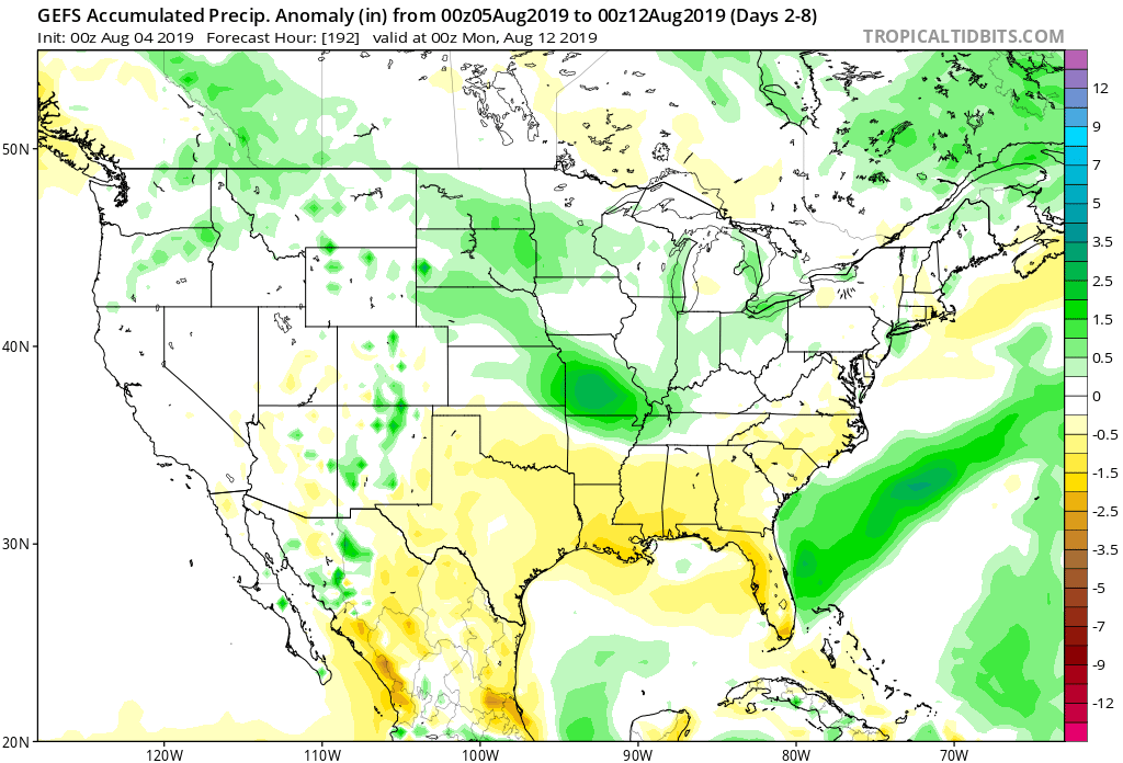
7-Day Precipitation: Rainfall is expected to run near average through the forecast period.
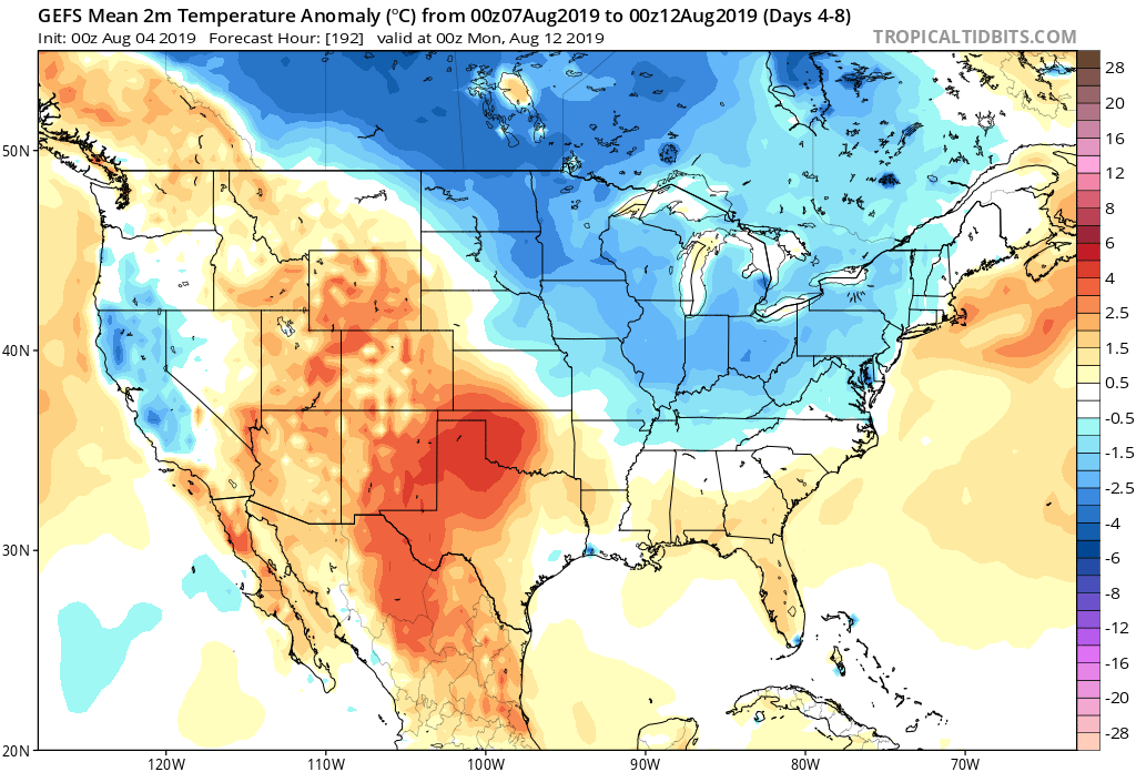
7-Day Temperature Outlook: Temperatures are expected to run near average before turning cooler than normal late in the period.
Severe Outlook: Organized severe weather isn’t anticipated through the forecast period.
Summary: The forecast period will start off on a quiet note, but that will begin to change by the middle of the work week. The first of a series of cold fronts will approach the region Tuesday with an increase in shower and thunderstorm activity that will continue into Wednesday with the frontal passage itself. On the heels of that FROPA, a second front will sweep into the area Thursday, continuing scattered showers and thunderstorms. High pressure is then expected to build over the Ohio Valley heading into the weekend, resulting in drier conditions.
As you’d imagine, temperatures will trend cooler behind these frontal systems late week and into the weekend. As for rainfall, widespread amounts should average between 0.40″ and 0.80″ during the Tuesday-Thursday time frame with locally heavier amounts where stronger storms track.
More a bit later with the issuance of our afternoon video package! Make it a great Sunday, friends!