
You must be logged in to view this content. Click Here to become a member of IndyWX.com for full access. Already a member of IndyWx.com All-Access? Log-in here.
August 12, 2019 archive
Permanent link to this article: https://indywx.com/2019/08/12/video-severe-weather-event-tonight-a-lot-of-noise-with-regard-to-the-late-august-pattern/
Aug 12
Storm Chances Increase Tonight…
A few showers are on the radar this morning, but it’s late tonight through very early Tuesday morning that has our attention for the possibility of severe weather.
The Storm Prediction Center continues to include a large chunk of the state in a Slight Risk of severe weather.

Storms are expected to initiate across eastern Iowa and northwestern Illinois late evening (between 6p and 8p) before rumbling east southeast.
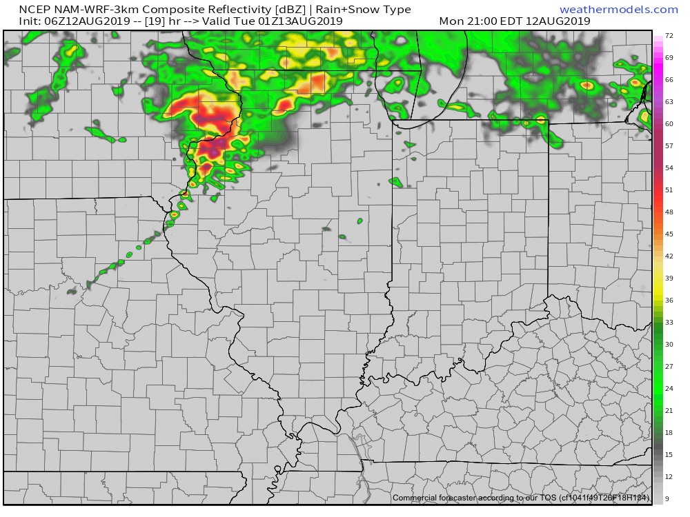
Given the ingredients in place, all modes of severe weather are possible into the overnight, but it’s the potential of damaging straight line winds that is the greatest by the time the storms make it into central Indiana. (Targeting an arrival between 1a and 3a).
We’ll have a video posted early this evening with some of our latest thoughts and most updated high resolution guidance. As things stand now, we’d encourage you to make sure you have a means of getting the latest severe weather headlines that may come later tonight. It’ll be important to set your weather radio alerts to “on” as it’s most likely the storms will arrive when the majority of folks are sleeping.
Much more later this evening!
Permanent link to this article: https://indywx.com/2019/08/12/storm-chances-increase-tonight/