An upper level low will have control of our weather today. We’re seeing widespread mostly light rain this morning and that will begin to diminish as we move into the late morning and early afternoon.
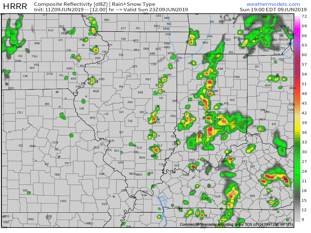
We’ll then likely see a few breaks in the cloud cover and that will serve to provide just enough energy to help showers and thunderstorms redevelop by mid to late afternoon. With a juicy air mass in place (precipitable water values will exceed 2″ in spots), locally heavy rain is likely.

With weak steering flows in place this afternoon and evening, the concern we have is that localized bands of this heavy rain/ embedded thunder will “train” over the same areas, potentially leading to flash flooding in localized spots across central Indiana.

We expect these south-to-north moving bands of rain to begin to organize towards the 4p to 6p time frame, continuing into the evening and nighttime hours. Where the heavier rain bands organize, a quick 2″ to 3″ of rain is likely this evening.
More around the #AGwx report for the upcoming week will be posted later this morning!
