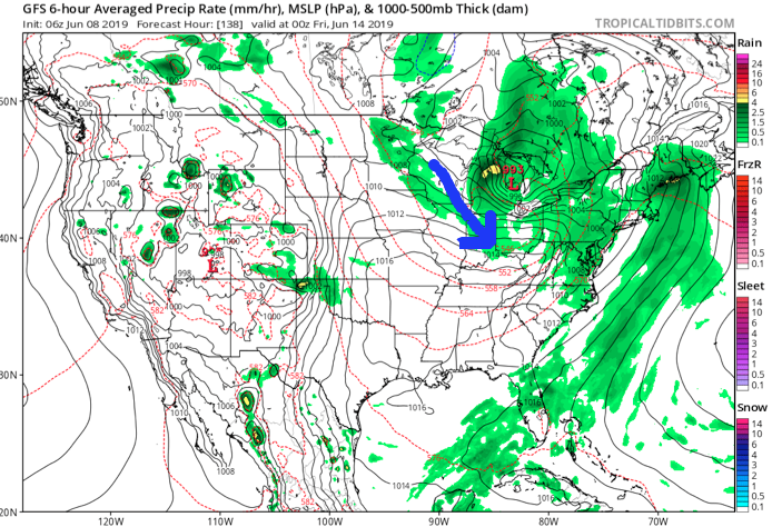
Upper level energy will get pulled north into the Ohio Valley region over the weekend. This will result in an increase in cloudiness and better coverage of showers at times this afternoon through

As we time things out, light showers will move northwest (opposite of the usual direction) across the region beginning this afternoon, but more concentrated heavier downpours are a good bet tonight into Sunday morning.

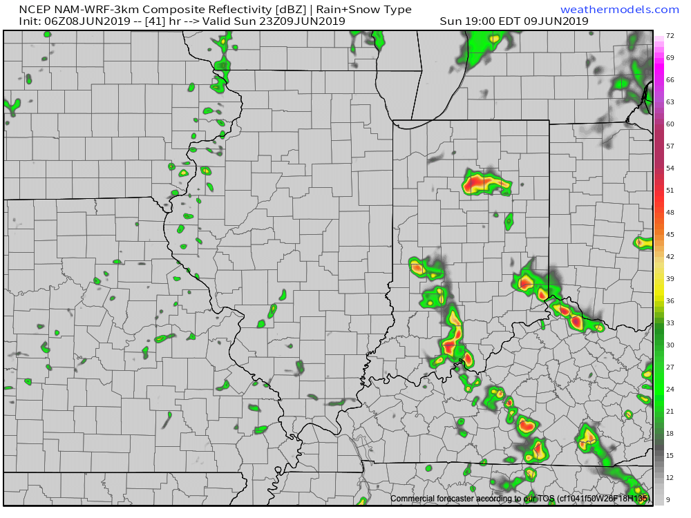
We’ll likely get into some drier conditions Sunday afternoon, but redevelopment of scattered showers and thunderstorms is likely by evening.
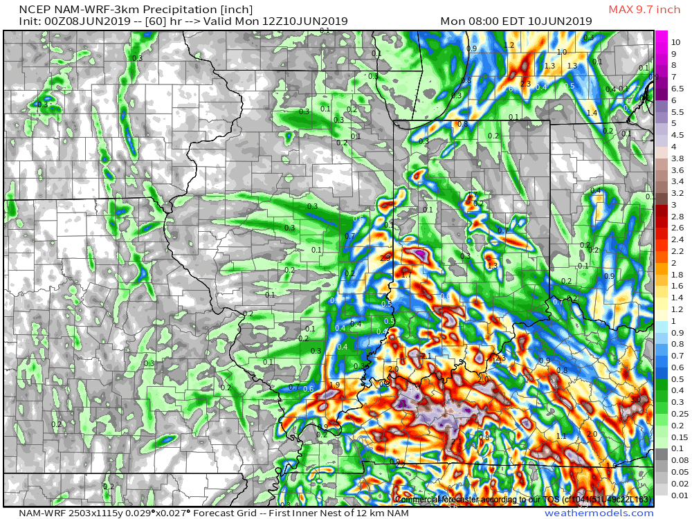
While there will be plenty of dry time this weekend, do expect periods of wet weather at times. Everyone won’t see heavy rain (0.5″ to 1″ on average for weekend totals), but with this kind of system, there will likely be heavier bands of rain over the next couple of days. High resolution guidance is likely picking up on this, understanding it’s nearly impossible to pinpoint with certainty where those heavier rain bands set up.
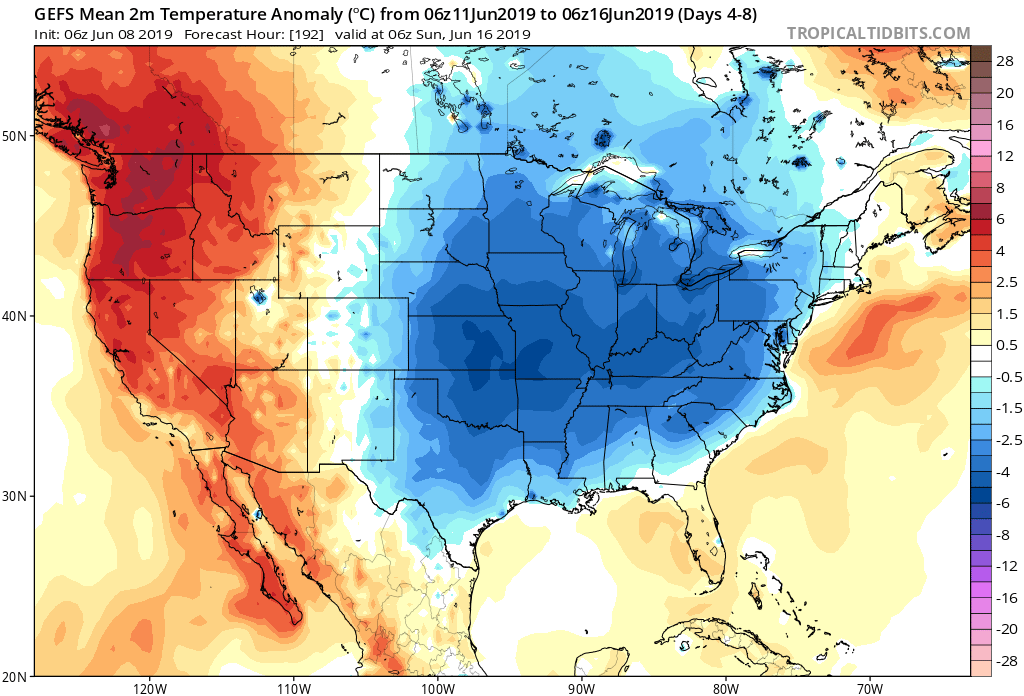
Drier air will arrive on the scene early in the work week with increasing sunshine anticipated Monday into Tuesday. Temperatures will run well below average for midweek with reinforcing unseasonably cool air blowing into town to wrap up the work week (40s still a good bet with highs only in the 60s).