
A cold front will sink south into the Ohio Valley Tuesday afternoon before stalling out through the remainder of the work week and into the weekend.
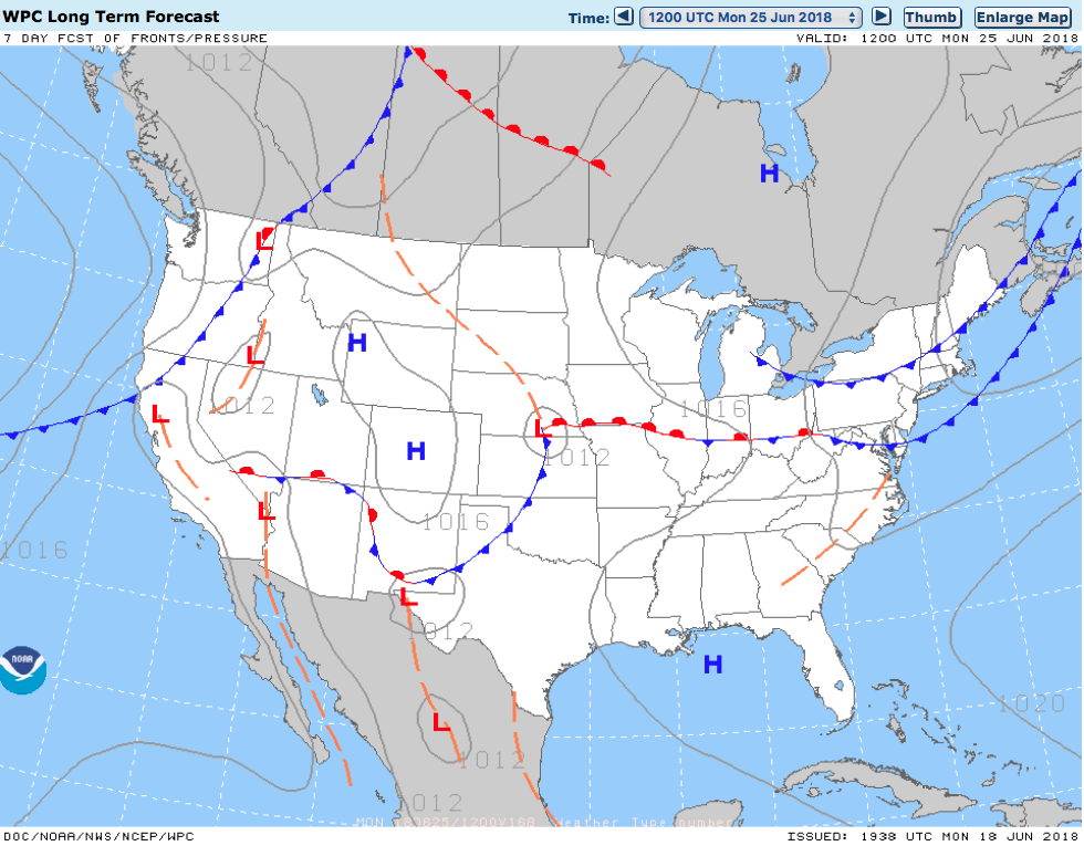
Unsettled weather returns as a frontal boundary stalls out across the region into the upcoming weekend.
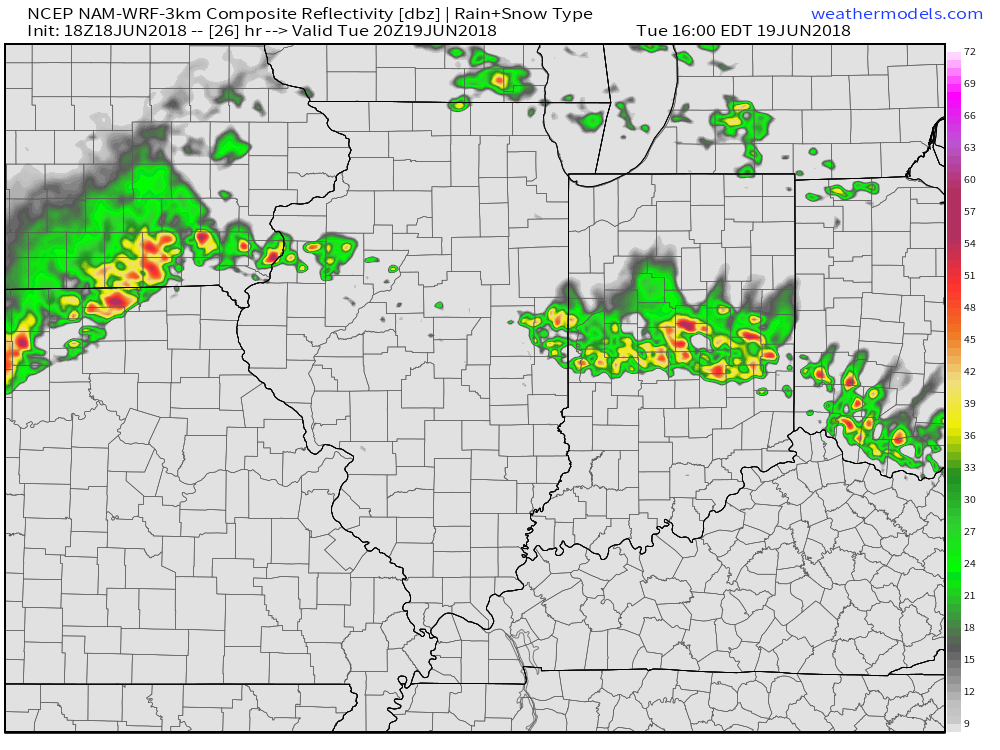
Rain and storm chances will increase in overall coverage and intensity as we move into Tuesday- particularly during the afternoon hours. With precipitable water values exceeding 2″ at times, locally heavy downpours can be expected.
 Despite cooler (still mighty humid) temperatures arriving, the overall pattern won’t change significantly into late week and this weekend. With the frontal boundary draped across the Ohio Valley, periods of showers and thunderstorms will remain in the forecast. At times, disturbances will track along the boundary and lead to increased coverage of storms. Perhaps Thursday and Friday will serve up the greatest coverage of thunderstorms as a surface wave moves out of the central Plains into the Great Lakes.
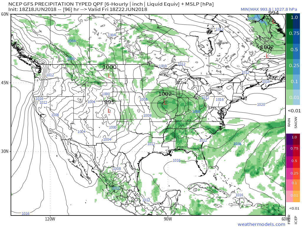 The combination of a juicy air mass and a stationary boundary draped overhead spells a flash flood risk. The lack of any sort of overall steering current suggests the potential of thunderstorms that may train over the same communities at times. As mentioned earlier, precipitable water values (PWATS) will approach and exceed 2″ and this will support torrential downpours at times.
 Officially, we think the upcoming 7-day period will deal out widespread 2″ to 3″ rainfall totals across central Indiana, but there will be locally heavier amounts where thunderstorms train.
After a dry few days with exceptional heat, the unsettled and cooler pattern, overall, will be welcomed with open arms!