
It’s not just the daytime temperatures that will grab the weekend weather headlines (low-mid 90s), but the overnight lows will remain “oppressive,” as well (low-mid 70s) in what will be a very muggy air mass this weekend. “Air you can wear” will be an appropriate way to describe things this weekend around the entire Mid West. At times, heat indices will exceed the 100° mark. With an upper level ridge parked over the region, any storm coverage should be isolated at best. Most neighborhoods should remain free of rain or storms over the weekend.
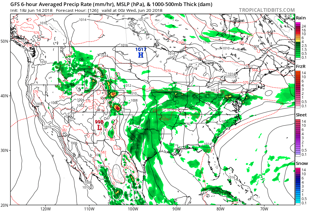
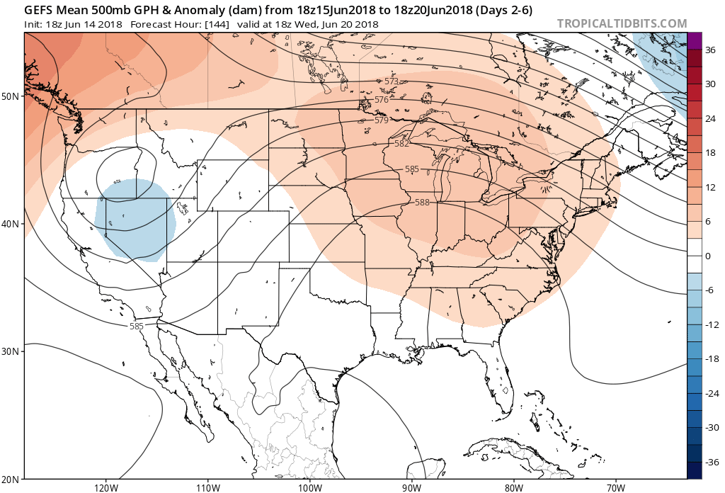 Thankfully, even as the heat gets going in earnest, at least some slight relief is in sight. A cold front will approach the region early next week and increasing coverage of showers and thunderstorms should follow suit. We’ll forecast isolated to widely scattered coverage of storms Monday before better coverage (scattered to numerous) Tuesday. Some model data suggests the front will “stall out” over the Ohio Valley region which would keep high rain chances in our forecast into the middle and latter parts of next week. Stay tuned.
 From this distance, late next week into the weekend looks seasonably warm and drier, overall.
Find a pool and stay cool this weekend, friends!