
Understanding tropical remnants can be a headache to track once inland, here’s our best idea of where we currently think Alberto’s remnant tropical moisture will track this week. More specific to Indiana, we believe best opportunity for tropical downpours will come late Tuesday night through early Thursday. Wednesday appears to be the wettest day.
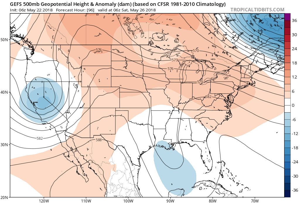
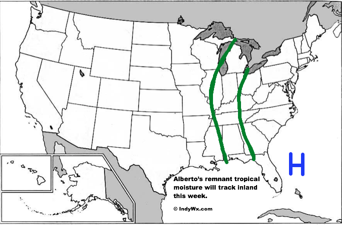 The combination of blocking high pressure off the Florida coast and the lack of forcing to the northwest should allow the remnants of Alberto to track north, northwest into the middle and latter parts of the week before curling northeast into southeast Canada and New England by next weekend.
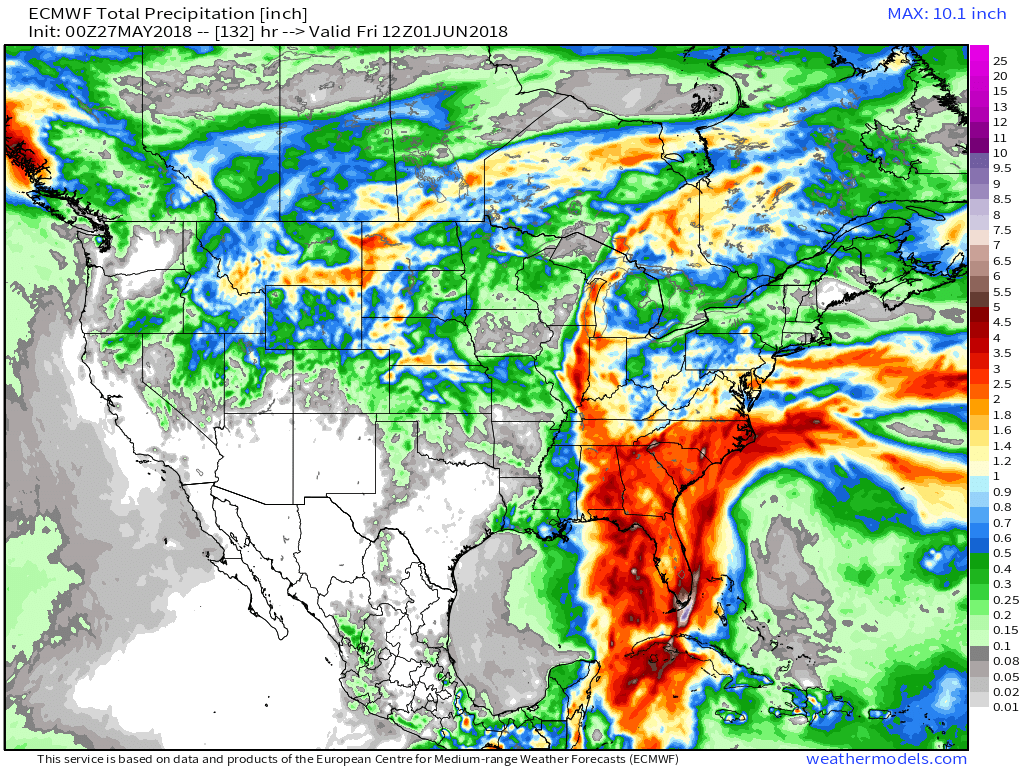 The European output (shown above) paints a swath of 1″ to 2″ with locally heavier rainfall into parts of IL and IN. Again, we think the majority of this comes in that Tuesday night through Thursday morning time period.
When we look at forecast precipitable water, values climb above 2″ Wednesday and will help promote locally heavy downpours.
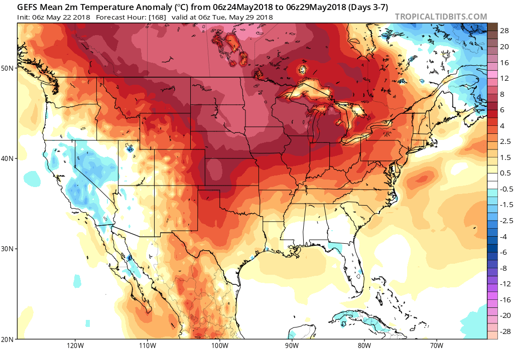
 This isn’t expected to be a particularly long lasting event and we should get back to an increasingly dry regime as next weekend approaches.
 Week 2
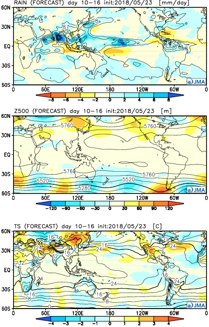 Weeks 3-4
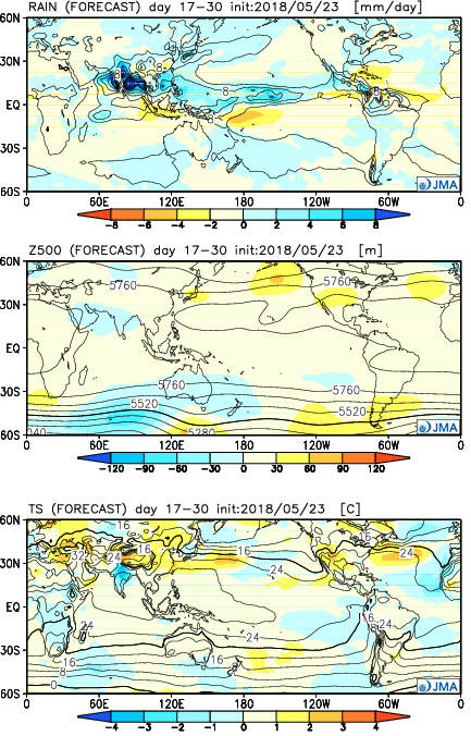
 The other big story, especially for those planning to attend the race, will be increasing humidity over the weekend. Forecast dew points will approach and exceed the 70° mark Sunday afternoon, providing a very tropical feel to the air.