An expansive upper level ridge will keep many across the eastern half of the country very hot and humid over the upcoming week. The worst of this particular heat wave, relative to average, will center itself over the Great Lakes and Northeast.
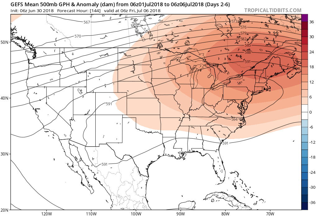
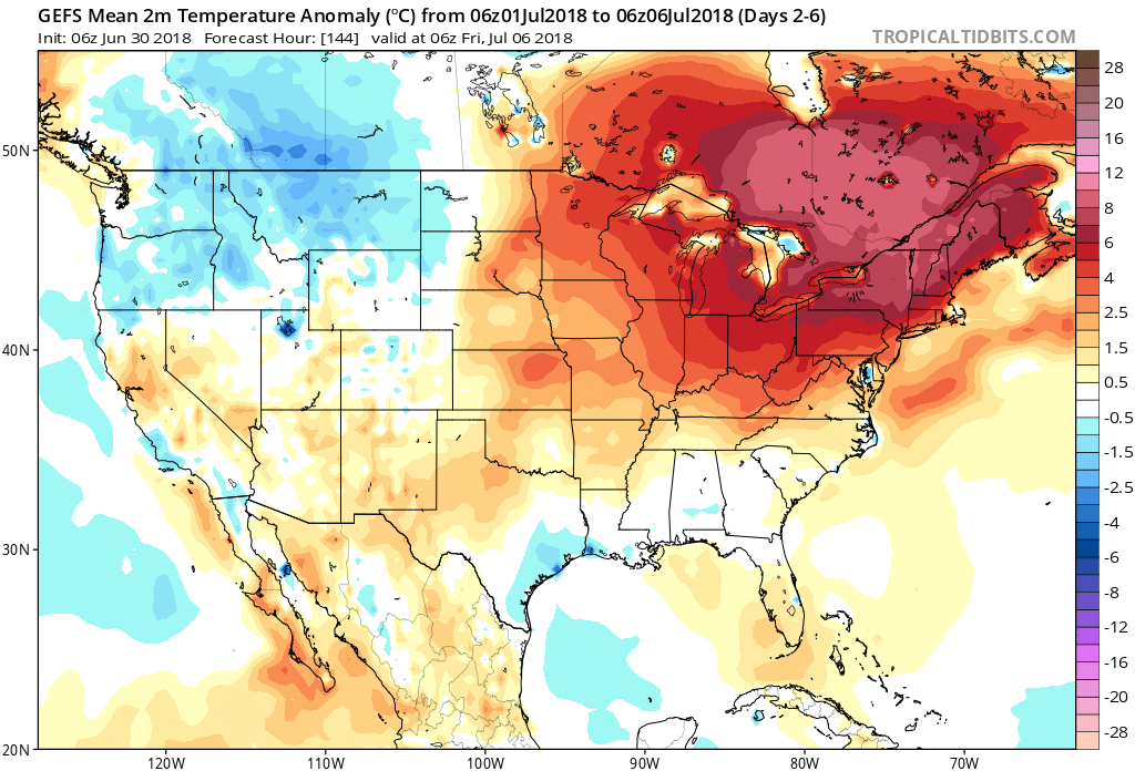 More specific to central Indiana, daily highs in the lower to middle 90s and overnight lows in the lower to middle 70s will continue into late next week. For the most part, this is a dry pattern, as well, BUT there will be a few exceptions.
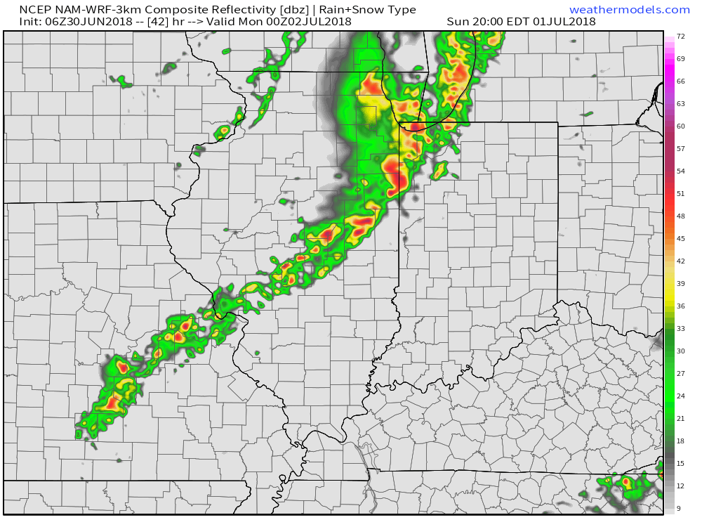
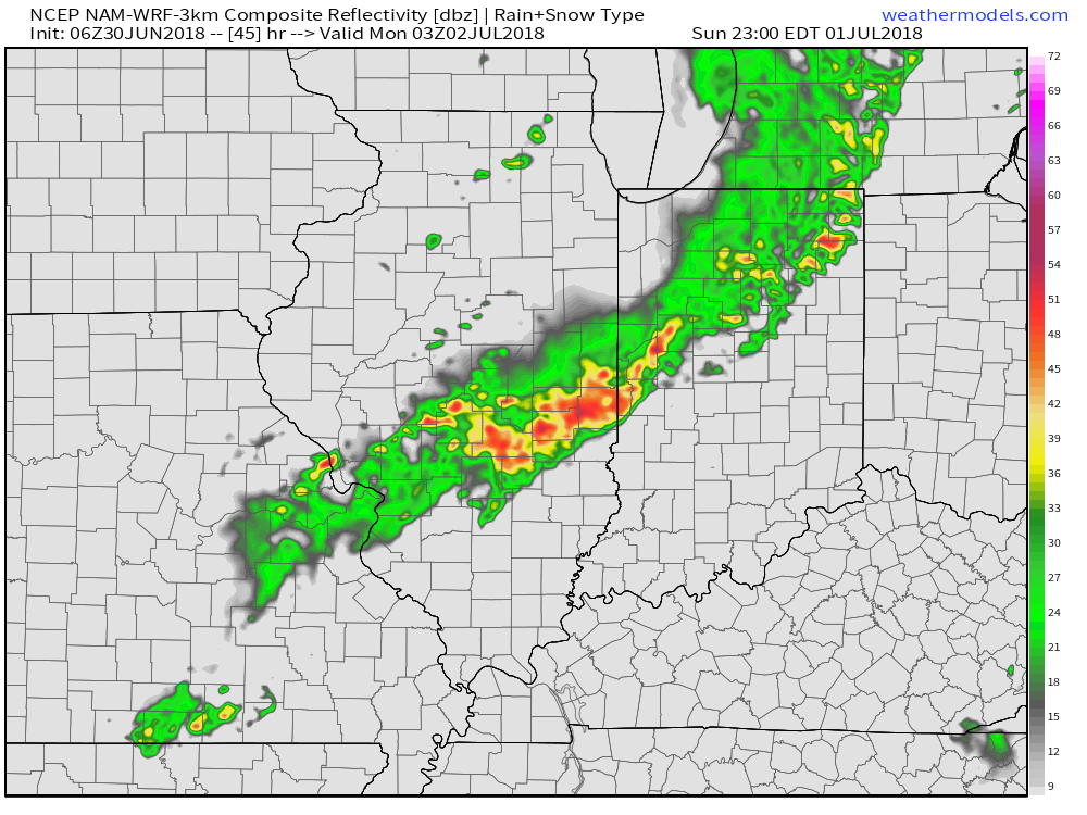
The first of such arrives Sunday evening into Sunday night with the potential of a line of showers and thunderstorms rumbling into the state. We note high resolution models weaken this line of storms as it arrives into central Indiana (likely after dark Sunday), but we’ll keep an eye on things. As things stand now, the western half of the state stands the greatest risk of getting meaningful rain Sunday evening.
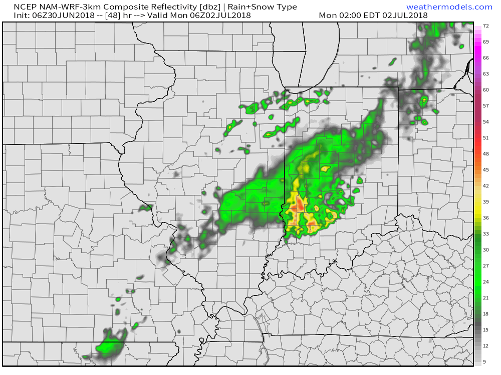 Thereafter, additional isolated to widely scattered storm coverage is possible- primarily during the afternoon and evening hours, but more than not will remain rain-free. 7-day precipitation totals check in this morning in the 0.25″ to 0.75″ range.
In the longer range, we should begin to see a transition to “less hot” 🙂 conditions next weekend followed by a more significant pattern change for the second half of July as the upper level ridge retrogrades west, centering itself over the Rocky Mountain region.
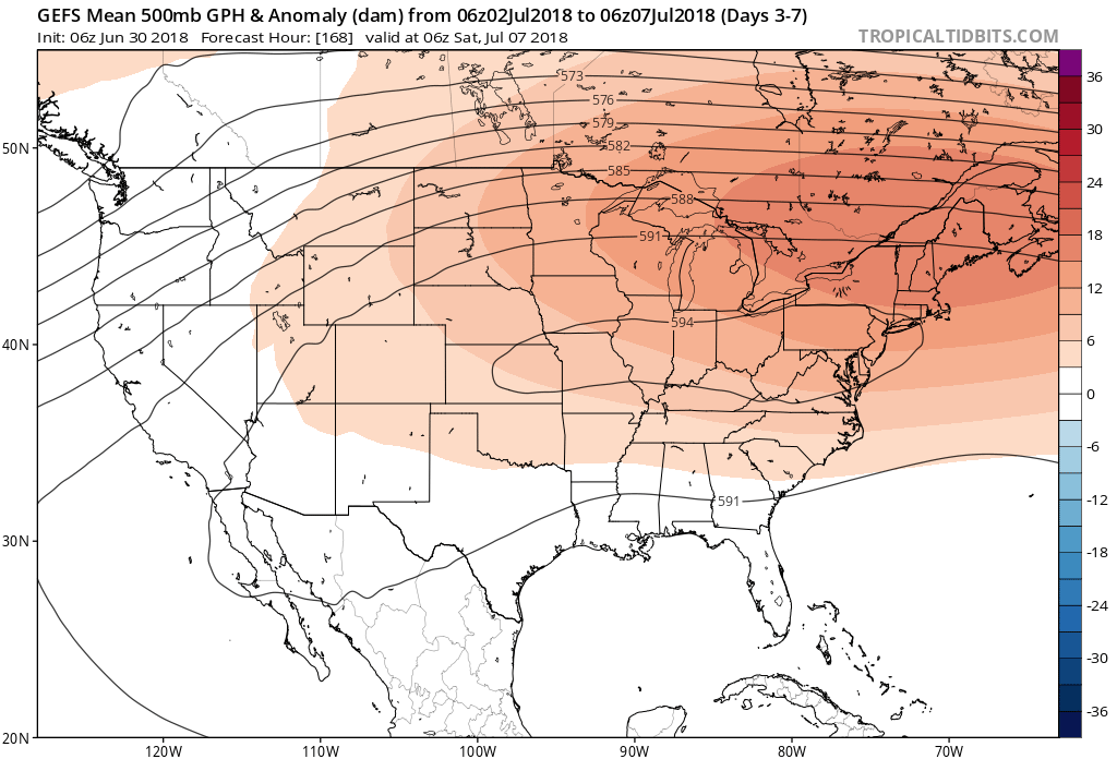

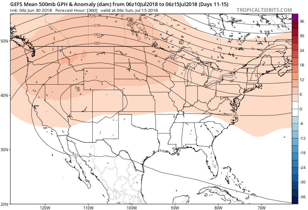 Not only will this likely lead to a cooler second half of July, but should also offer up an increasingly active and wetter northwesterly flow for our immediate region.
