
A cold front is sinking south as we write this (6:45p) Wednesday evening. A couple of strong to severe storms have developed ahead of the boundary and if you’re reading this from the southern 1/3 of the state, remain weather aware this evening. Otherwise, a drier regime will arrive behind the boundary and at least temporarily lead to a more refreshing air mass for our Thursday. Those 50s sure will feel nice out the door Thursday morning!
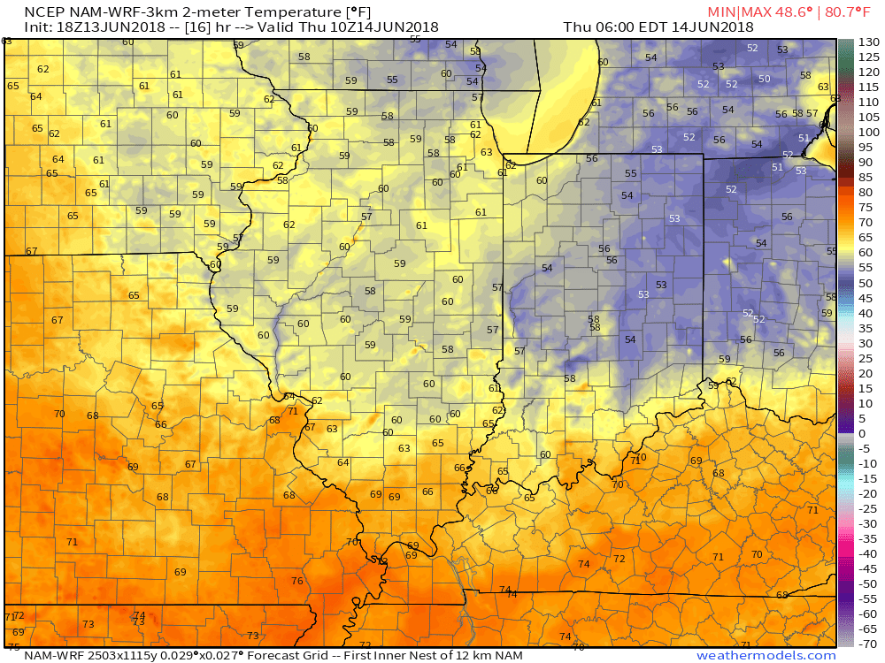
Lows will fall into the middle 50s for many communities outside of the city Thursday morning.
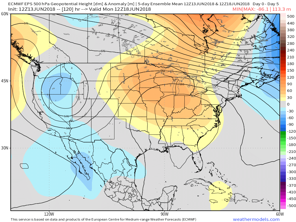
Unfortunately, the nice and refreshing air won’t last long. A building hot dome (ridge of high pressure) will center itself over the Ohio Valley this weekend and help promote excessive heat. It’s not just the high temperatures that will reach dangerous levels (lower to middle 90s), but overnight lows will remain oppressive, as well (low to mid 70s). Heat indices will surge north of 100° at times. The ridge will also serve to limit storm chances this weekend- “isolated” coverage at best.
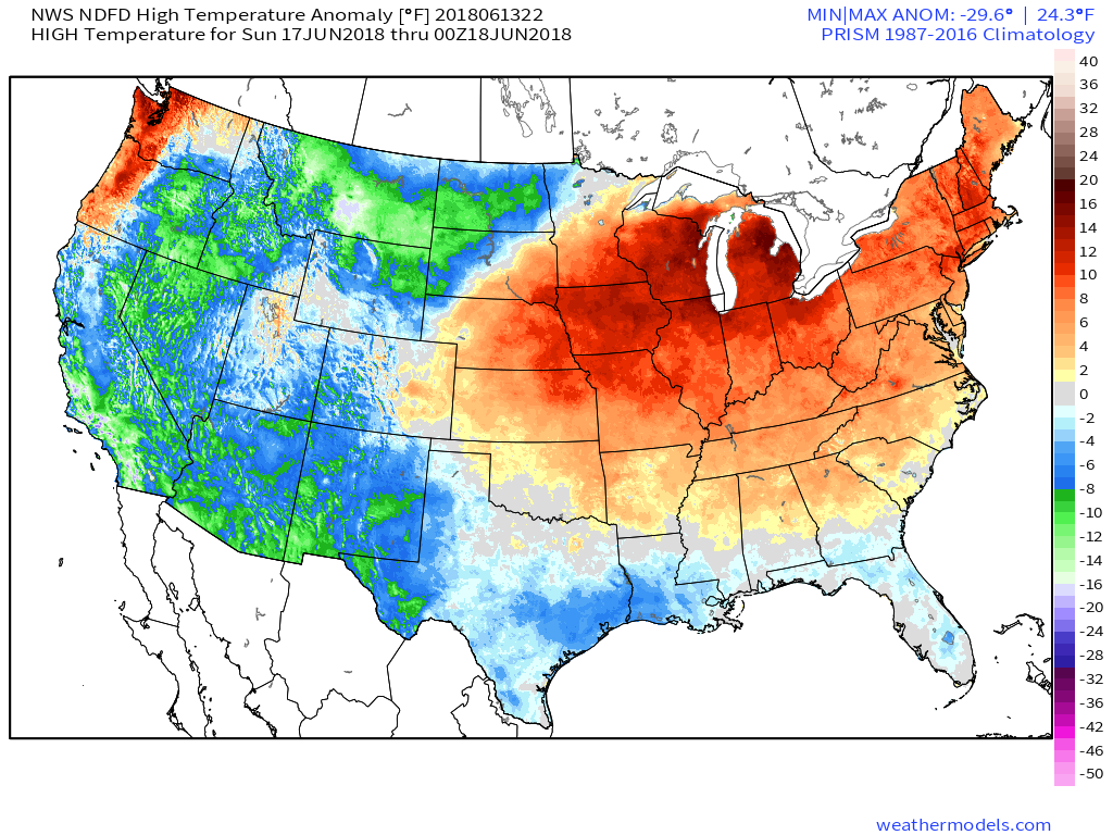 A cold front will drop south early next week and help increase overall coverage of showers and thunderstorms late Monday into Tuesday along with provide relief (at least temporary) from the hot, humid conditions. Temperatures will settle back closer to average by the middle of next week.
