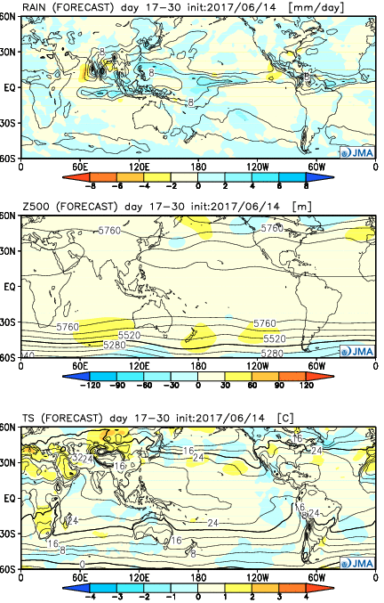
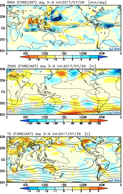
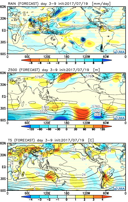
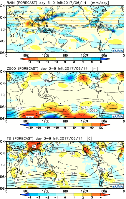
The general consensus between the JMA and CFSv2 is that warmth is the story through Week 2, especially this weekend into next week. JMA first:
Week 1

Week 2
Weeks 3-4
Before we show the CFSv2, a couple take-aways from the JMA:
- Warmth is most impressive early on (through next week), relative to average
- As cold tries to push, active times will return (finally) to the region from Week 2 on
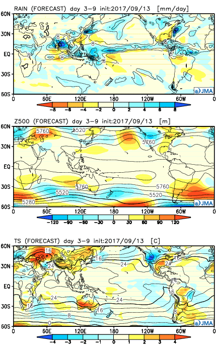
Now…the CFSv2:
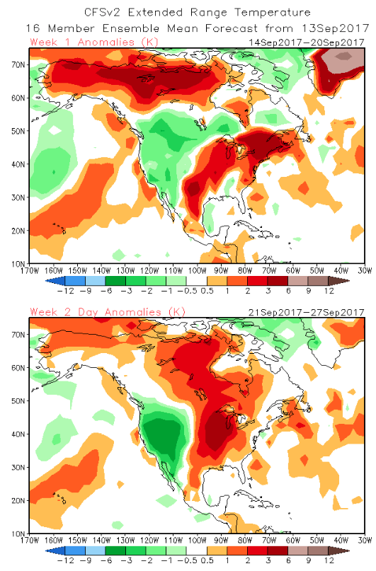
Weeks 1-2
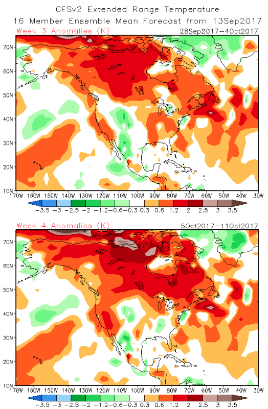
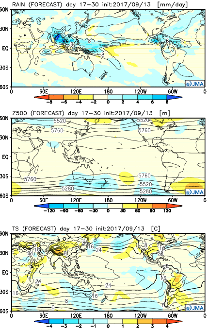
Weeks 3-4
Key take-aways:
- Similar to the JMA, warmth is most impressive early on before a “fight” develops thereafter.
While we can’t show the European Weeklies due to licensing issues, they paint a similar theme, overall. They sing a similar song in the short-term for warmth to close the month, but are much more bullish on the transition to a colder than average first half of October compared to the CFSv2 and JMA.
To sum things up, confidence is high on a summer-like regime to engulf the region through the balance of the second half of September as a ‘Nina-ish pattern takes hold. Late-season summer warmth will rule through next week, including highs in the 85°-90° range at times- developing as early as this weekend. This, of course, comes on the heels of an unusually early cool start to meteorological fall (IND is running a whopping 6° below average, MTD). After the warmth dominates, a transitional pattern should ensue, including more active times (wetter than average as we close September and open October), along with “pops” of colder air. That said, a consistently positive southern oscillation index has us “raising an eye brow” to the aggressively cold start to October such as the Euro implies… Stay tuned.
 Week 2:
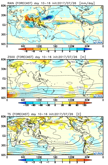 Weeks 3-4:
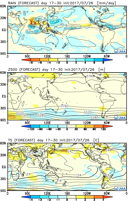
 Week 2:
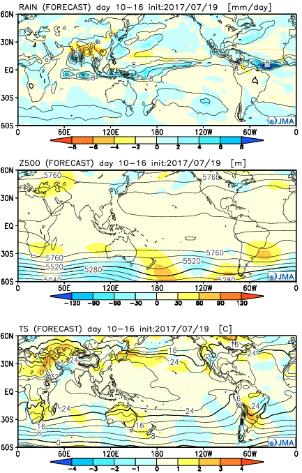 Weeks 3-4:
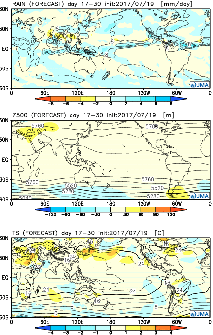

 Week 2:
 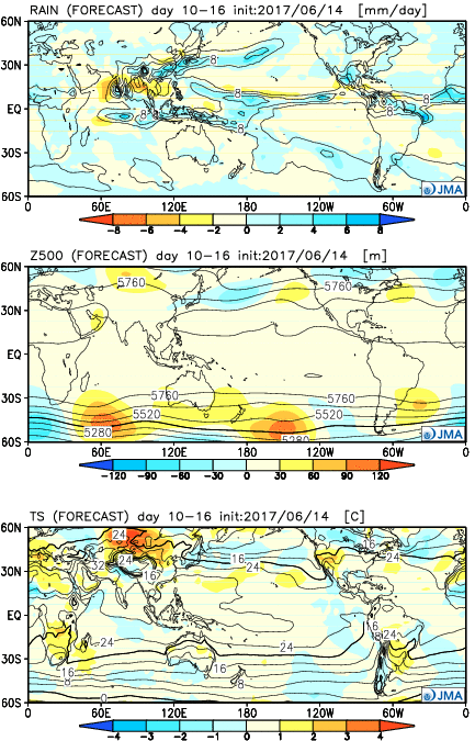 Weeks 3-4: