The work week has opened on a gloomy note. Thankfully, improvements are on the way as we look ahead! Despite a small “setback” Friday (scattered shower chance), the majority of the upcoming 10-day period will feature a warming trend and an overall drier than average theme.
Weak high pressure will build into the Ohio Valley through midweek and will result in an increasingly sunny sky Wednesday-Thursday.
 Temperatures will remain cooler than average, but that late-April sun will feel mighty nice, especially after a couple days of “showery” overcast and 50s.
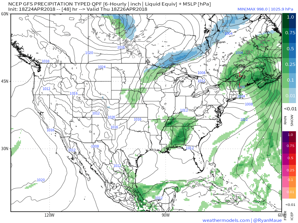
Models are trending drier as we look ahead to Friday’s system and we tend to agree. While we can’t rule out a few showers Friday, this won’t be a significant event (0.10″ for those that do see rain).
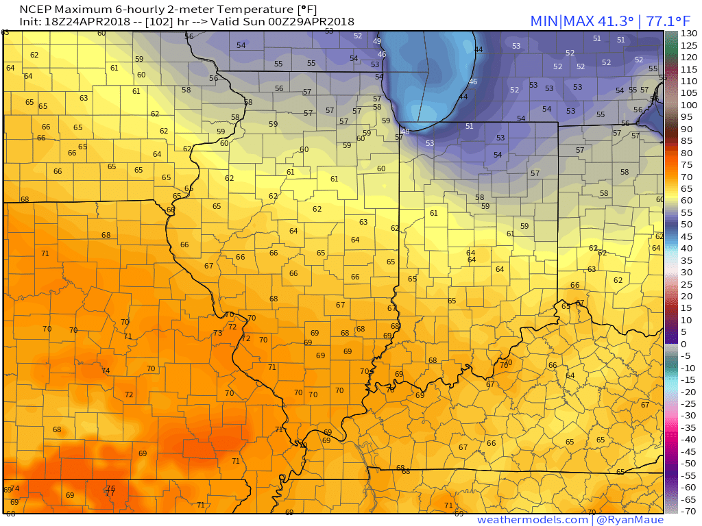
 High pressure will quickly build in thereafter and lead to the best weather weekend so far this spring. Saturday and Sunday should feature plentiful sunshine both days. Morning lows will be chilly (upper 30s to lower 40s for most), but daytime highs will zoom into the 60s both days.
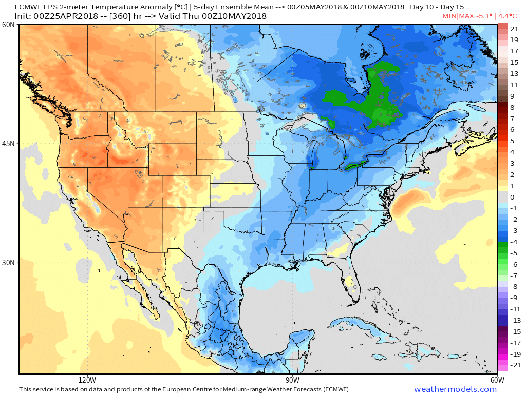
 As we look ahead, warmth will continue to build as we open May. Lower 80s seem to be a good bet as we move into next week, but before we get into sustained warmth, another “setback” or two seems to be a good bet. We note the EPS showing this nicely as cooler anomalies return by Week 2.

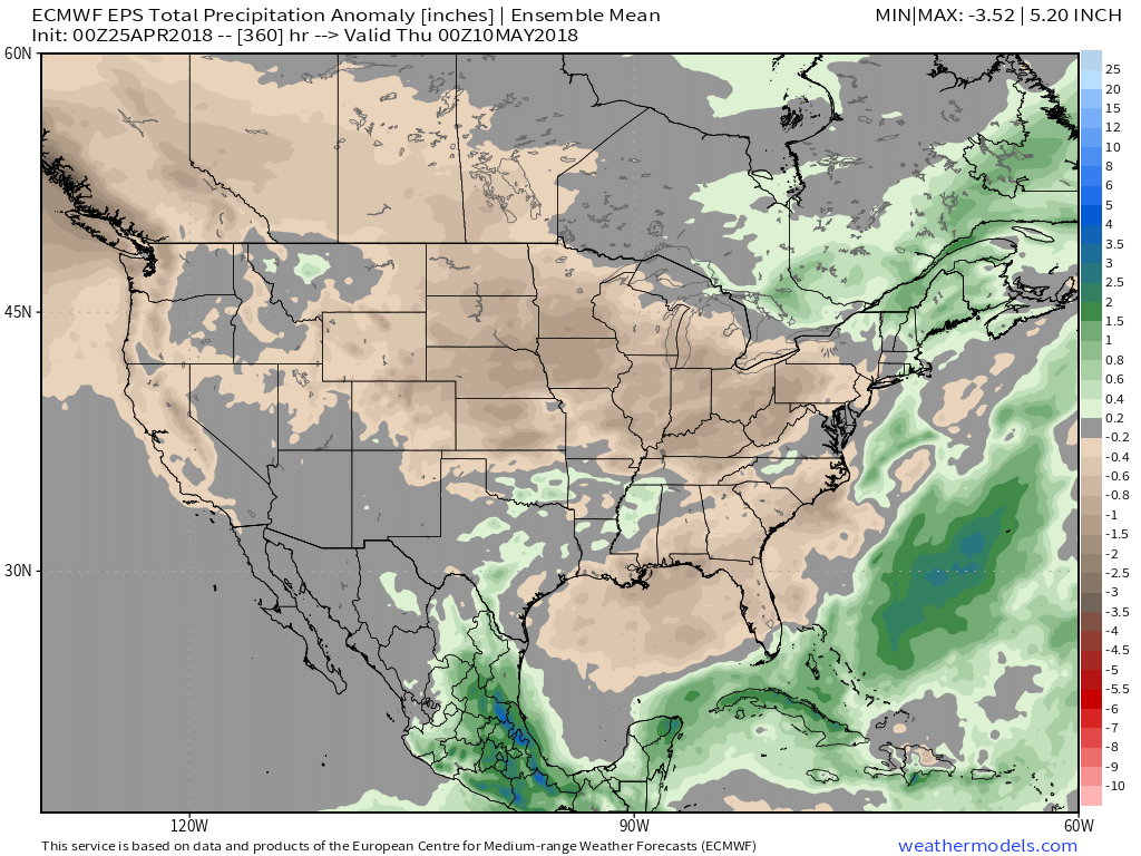
 It remains a drier than overall pattern over the upcoming couple weeks. The next storm of any significance is slated for an arrival late next week (Thursday time frame).