Category: AG Report

#AGwx And Weekly Severe Weather Outlook

Forecast Period: 04.21.19 through 04.28.19

7-Day Precipitation: Rainfall is expected to run below average through the period.

7-Day Temperatures: Above normal temperatures are expected through the period.

Severe Weather: Widespread severe weather isn’t anticipated through the period, locally.

Summary: A much quieter period is expected for the week ahead, especially when compared to this past week. High pressure will build in and supply pleasant weather as we go through Easter and into the new work week. A weak system will result in scattered showers and thunderstorms Tuesday into early Wednesday, but excessive rain and strong to severe thunderstorms aren’t expected. High pressure will then return and lead to dry, pleasant weather conditions as we move into at least the first half of next weekend.

Permanent link to this article: https://indywx.com/agwx-and-weekly-severe-weather-outlook/

#AGwx & Weekly Severe Weather Outlook

Before we look ahead to the upcoming period, reviewing April so far shows a warm and dry start to the month. April 2019 is running nearly 5 F above average and 0.76″ below normal in the rainfall department.

Forecast Period: 04.14.19 through 04.21.19

7-Day Precipitation: Above normal amounts of precipitation expected during the period.

7-Day Temperatures: Above normal temperatures expected during the period.

Severe Weather:

A risk of strong to potentially severe storms looms across southeast portions of the state Sunday (4.14.19). While widespread severe weather isn’t anticipated, there’s the potential of scattered strong storms Thursday, 04.18.19.

Summary:

A strong spring storm system will deliver heavy rain and thunderstorms late tonight into Sunday. Due to the track of the surface low, a tight temperature gradient can be expected across the state Sunday. Low-mid 60s are on deck across SE IN with upper 30s across western and northern portions of the state. In the warmer sector, a severe threat looms Sunday morning into the afternoon hours. Large hail is the primary concern with storms that may form. Elsewhere, a rather widespread 1″ to 2″ of rain is a good bet with the passage of this system.

While we’ll remain cool to open the work week, a warm front will lift north Tuesday helping to usher in much warmer conditions for the mid-week stretch (70s return). The next system will approach Wednesday into Thursday with scattered showers and thunderstorms (some of which may be strong Thursday). That particular system will track overhead Friday into next weekend with cooler air returning during the period (highs in the 50s and lows in the upper 30s to lower 40s for next weekend).

Permanent link to this article: https://indywx.com/agwx-weekly-severe-weather-outlook-2/

#AGwx & Weekly Severe Weather Outlook…

With the first Saturday of April upon us, it’s time for our 1st installment of a weekly update dedicated just to our AG interests. These are updates private clients have been receiving for years and we’re excited to be able to include these Saturday updates within the All-Access platform now. These updates will be posted on Saturdays through the end of September.

Forecast Period: 04.07.19-04.14.19

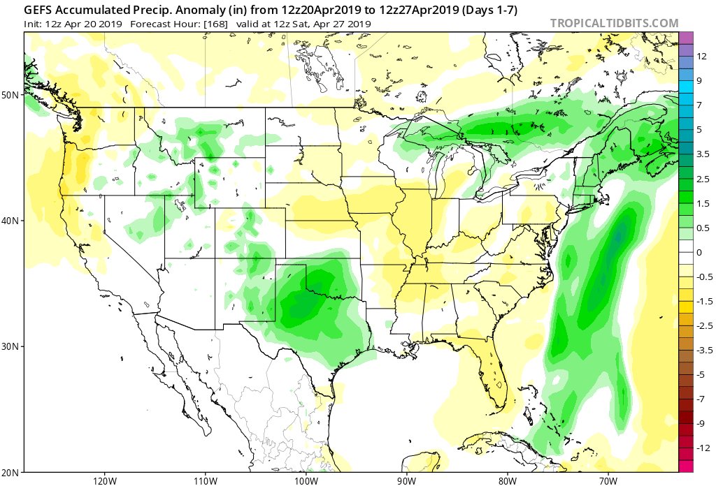
7-Day Precipitation: Average amounts of precipitation expected.

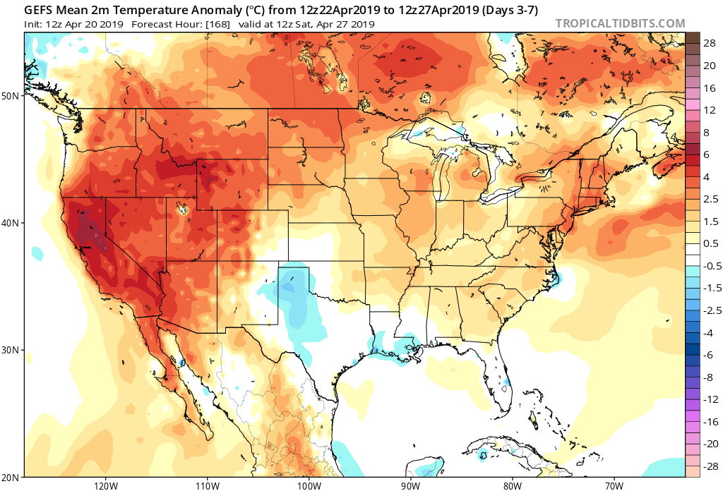
7-Day Temperatures: Above normal temperatures expected.

Severe Weather:

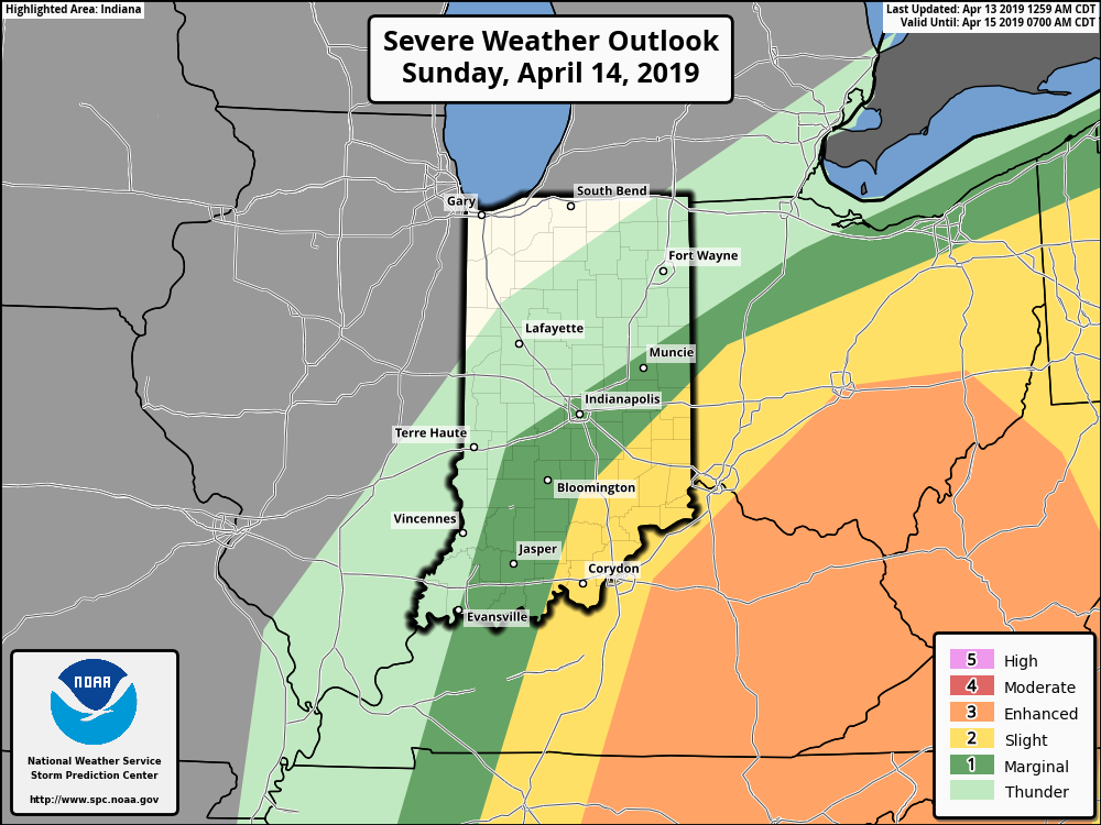
We’re monitoring the possibility of severe weather Sunday (4.7.19) across the southern half of the state. Additionally, there’s the threat of strong to severe storms Thursday afternoon and evening (4.11.19).

Summary:

The upcoming forecast period will be dominated by (2) systems. A warm front will lift north across central Indiana Sunday morning and feature a couple of rounds of thunderstorms across the southern half of the state. While a significant and widespread severe weather outbreak isn’t expected, a couple of strong to severe storms are possible Sunday morning and again Sunday afternoon. Greatest concerns include a threat of large hail and damaging straight line winds.

A second storm system will impact the area Thursday afternoon and evening. Model guidance has trended significantly further north with the track of the surface low and accordingly, trends would favor a warmer solution here, along with the likelihood of more in the way of Gulf of Mexico moisture being pulled as far north as the OHV region. We’ll need to monitor for the threat of additional strong to severe storms during the Thursday afternoon/ evening time frame.

Behind the cold front, drier and cooler air will work into the area as we get set to close the work week. The upcoming week will be dominated by highs in the upper 60s to lower 70s and lows in the 50s. Temperatures will trend cooler late week and next weekend (more like highs in the 50s and lows in the 30s).

Permanent link to this article: https://indywx.com/agwx-weekly-severe-weather-outlook/

VIDEO: Scattered Storms Impact The Area Sunday; Timing Out Next Week’s Systems…

You must be logged in to view this content. Click Here to become a member of IndyWX.com for full access.  Already a member of IndyWx.com All-Access?  Log-in here.

Permanent link to this article: https://indywx.com/video-scattered-storms-impact-the-area-sunday-timing-out-next-weeks-systems/

Enjoy The Spring Warmth While We’ve Got It: Cold, Stormy Pattern On Deck…

You must be logged in to view this content. Click Here to become a member of IndyWX.com for full access.  Already a member of IndyWx.com All-Access?  Log-in here.

Permanent link to this article: https://indywx.com/enjoy-the-spring-warmth-while-weve-got-it-cold-stormy-pattern-on-deck/