Weekly #AGwx And Severe Weather Outlook…
Forecast period: 07.14.19 through 07.21.19
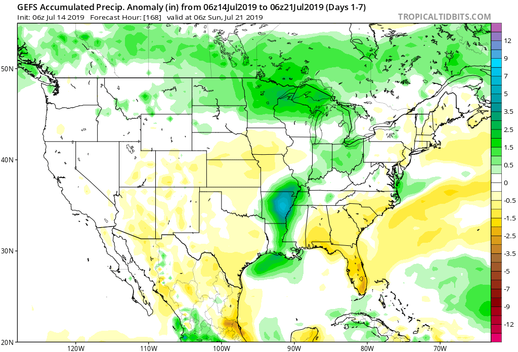
7-Day Precipitation: Rainfall is expected to run near to slightly above average through the period.
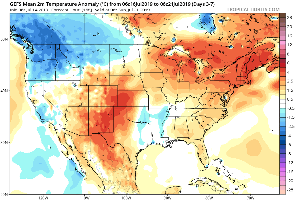
7-Day Temperature Outlook: Temperatures are expected to run well above average by the end of the period.
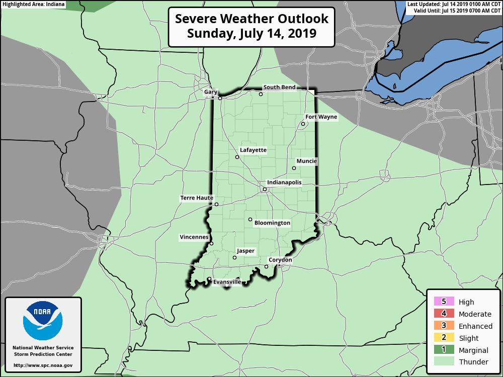
Severe Outlook: While widespread, organized severe weather isn’t expected through the forecast period, a couple isolated strong to severe cells are possible this afternoon (large hail is the primary concern, along with downburst wind potential). Additionally, we’ll also keep an eye on the threat of thunderstorm complexes riding southeast through the state late in the period- towards next weekend.
Summary: The story early in the forecast period will be Barry’s remnant moisture moving north and northeast across the Ohio Valley early in the work week. While we’re not expecting excessive rain across central Indiana, rain chances will be on the increase Monday through Wednesday. Thereafter, heat and humidity will be the story as a ridge of high pressure expands over the region. Dangerous heat and humidity is in store, including highs in the middle 90s and lows of 75-80 degrees into next weekend.