Weekly #AGwx And Severe Weather Outlook…
Forecast period: 06.17.19 through 06.24.19
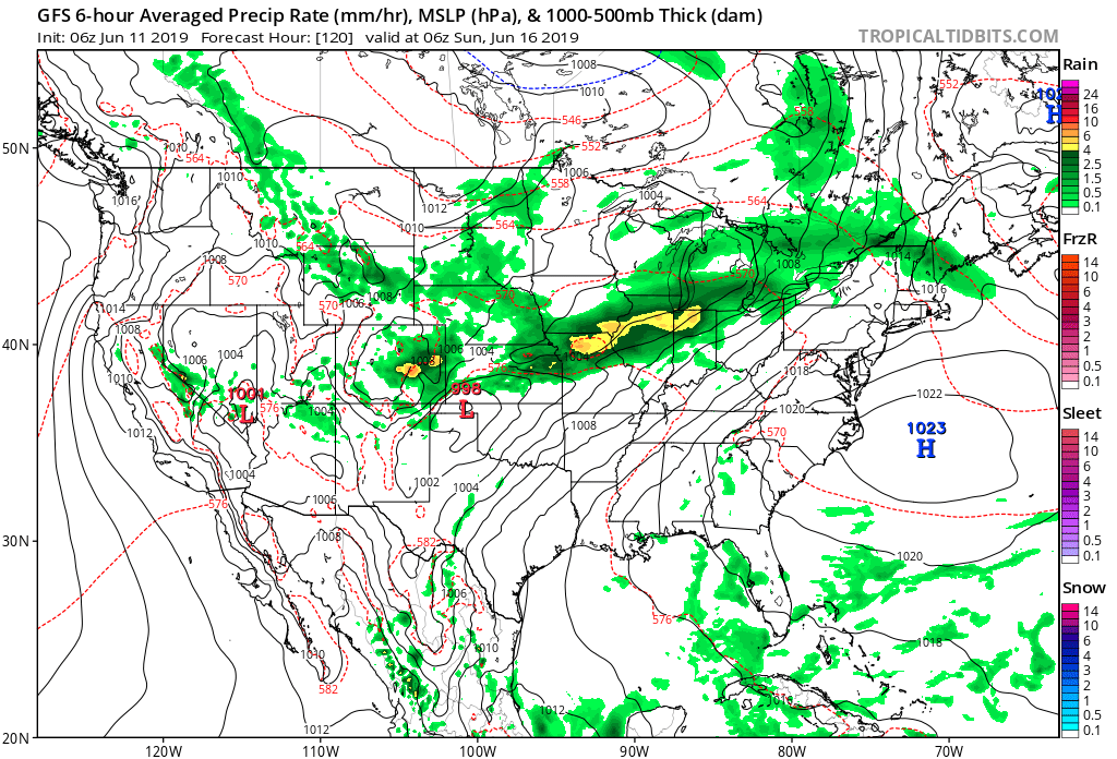
7-Day Precipitation: Rainfall is expected to run above average through the period.

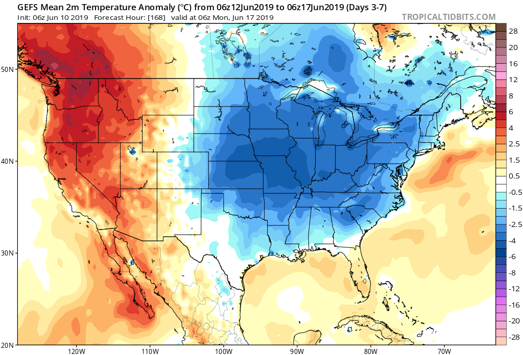
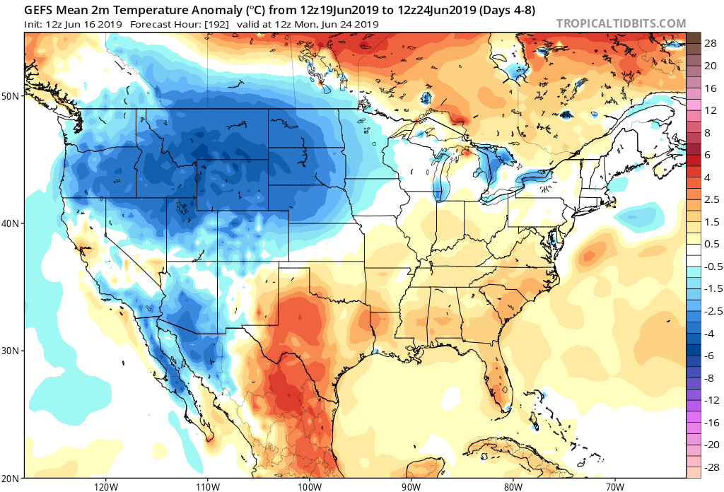
7-Day Temperature Outlook: Temperatures are expected to run slightly above normal through the period- mostly thanks to the warmer than average overnight lows with all of the expected clouds/ moisture present.
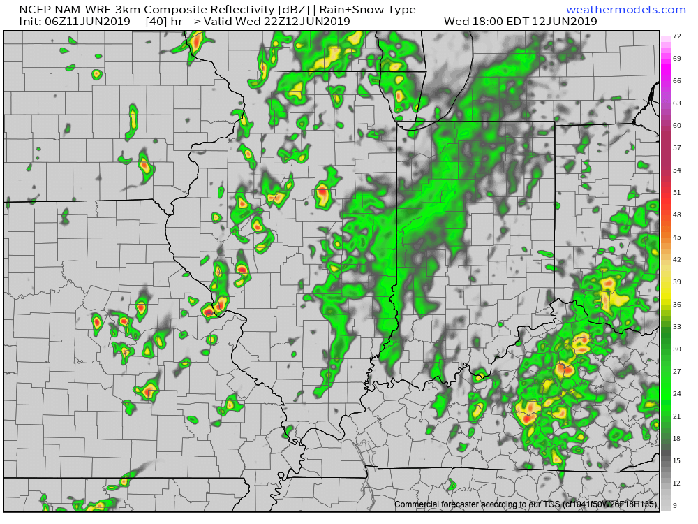
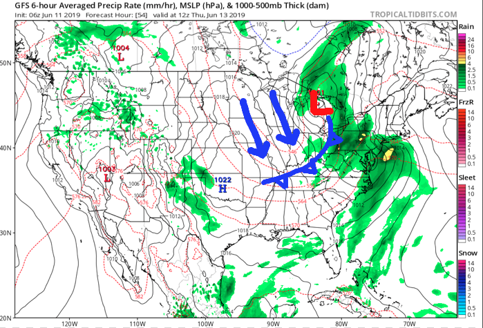
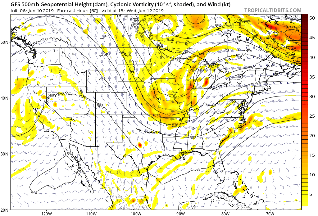
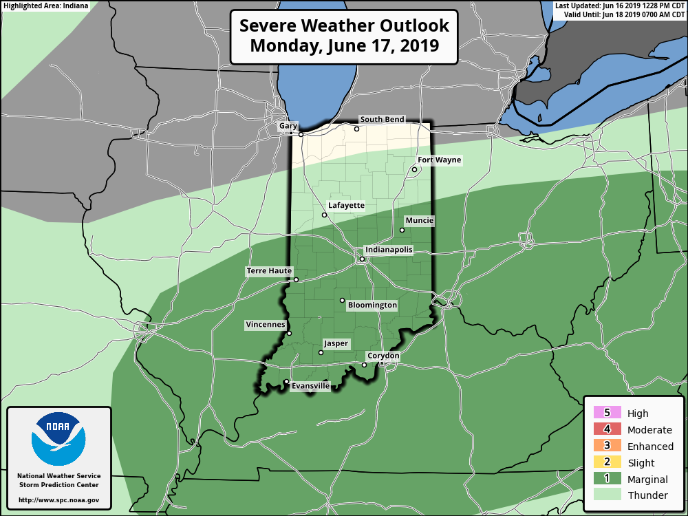
Severe Outlook: We’ll remain on guard for the potential of scattered strong to severe thunderstorms through the period- likely most numerous during times where surface waves interact with nearby warm fronts (case in point, Saturday). Most common severe weather reports will likely come from large hail and damaging winds, but a tornado or two can’t be ruled out during the period- especially with a couple of warm fronts draped across central Indiana.
Busiest severe weather days over the upcoming week will likely include Monday, Wednesday into Thursday, and next Saturday into Sunday.
Summary: An active weather pattern will remain in place across central Indiana through the upcoming forecast period. A blend of latest computer models puts down an additional 4.1″ across a widespread portion of central Indiana and most of that will fall within the upcoming 7 days. There will be locally heavier totals. Without trying to “sensationalize” the upcoming forecast period, flood and flash flood events will remain in place- and at times may become significant.
As mentioned earlier this morning, the hope here is that we can squeeze out a 2-3 day dry period late June before a stormy pattern returns for early July. Fingers are crossed…