
Updated 08.28.23 @ 12:25p
A secondary cold front will drop southeast across the state Tuesday. While we’re not anticipating any sort of widespread significant rain and storms with this frontal passage, it will be the best opportunity for rain over the next 10-14 days, overall. Best chances of precipitation will come after 5p from a weakening line of showers and storms to our northwest.
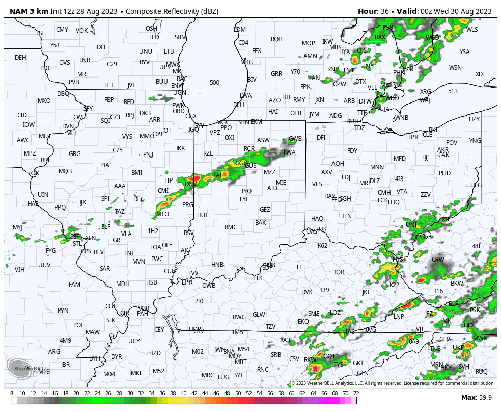
Best chances of measurable rain will be to the northwest of immediate central Indiana.

Reinforcing dry, cool air will filter into the region as we close the work week and get set to head into the Labor Day weekend. Here’s a bit of advice: please be sure to make time to get outside and enjoy this pleasant airmass as major changes await over the weekend and into next week. Until then, our late week stretch will feature overnight lows dipping into the upper 40s and lower 50s.
The upper ridge will begin to build back northeast over the holiday weekend and with it will come another round of unseasonably hot, humid conditions. While it might not be quite as miserable as what we dealt with last week, chances are that we’ll have to contend with several days of 100°+ heat indices and “jungle-like” humidity with an extended period of rain-free days deep into the Week 2 timeframe. Buckle up.


