Updated 02.08.23 @ 7:20a
Our next storm system will take aim on the region tonight and Thursday. As low pressure tracks into the western Great Lakes, it’ll help pull 2 slugs of moisture north into the state.
A period of rain can be expected this evening (well after the evening rush).
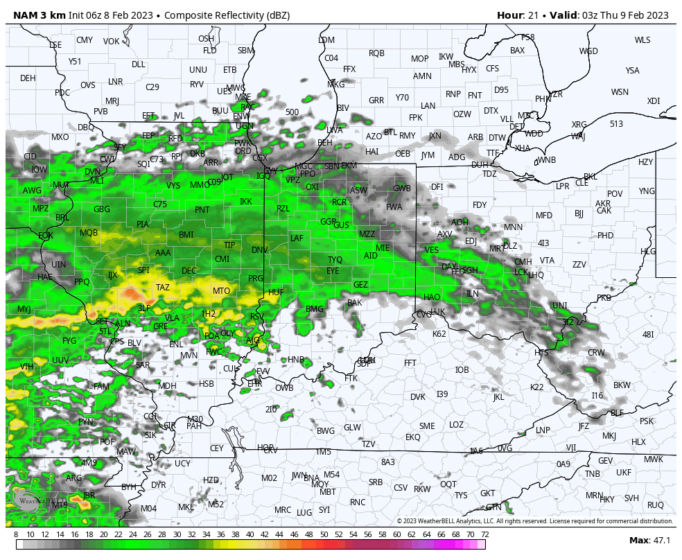
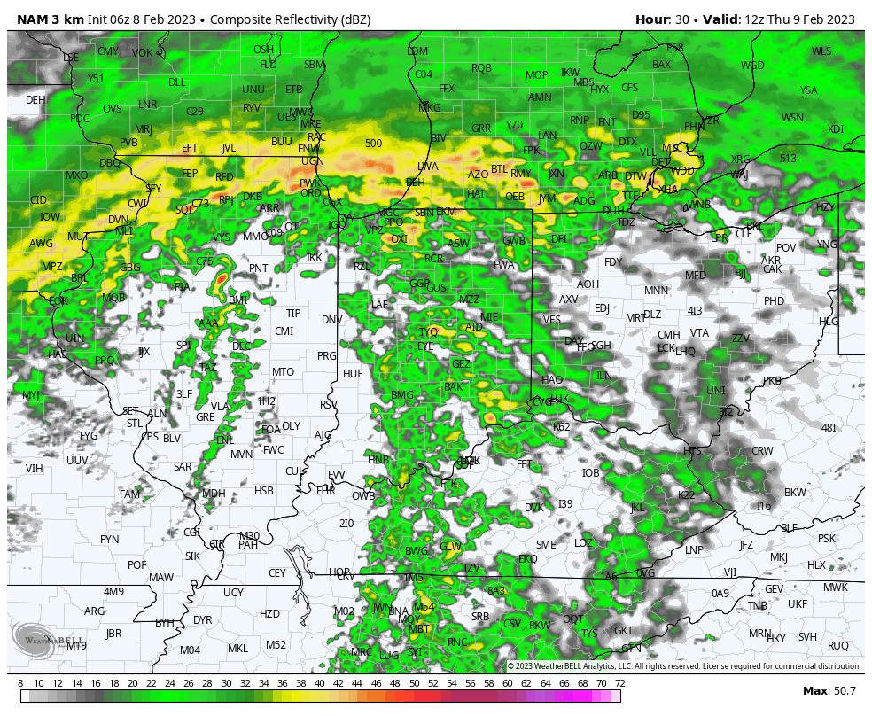
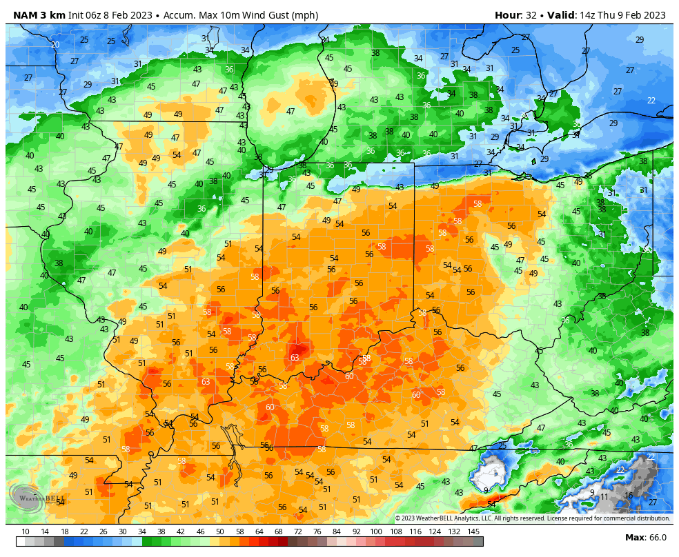
Followed by another period of rain and embedded thunder Thursday morning. Heaviest rain totals (1”+ amounts) will favor western and northern Indiana with this system.
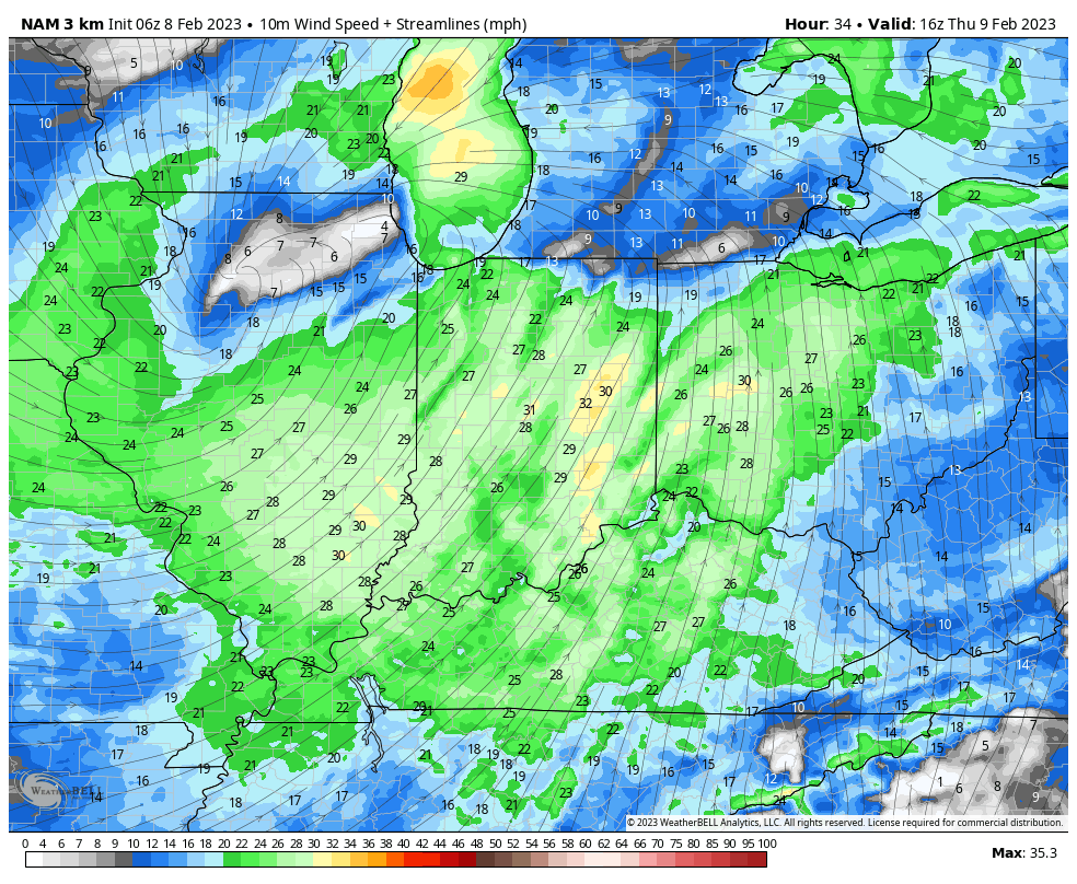
The bigger headline will actually be the strong winds Thursday morning. Sustained wind of 30 MPH with gusts to 50+ MPH will create the potential of downed trees, limbs, and increase the potential of power outages by mid and late morning.
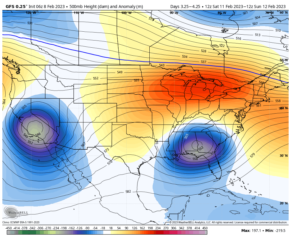
Looking ahead to the “follower” system we’ve been discussing over the past week, modeling now has zeroed in on this being a southern and Mid Atlantic event Friday night through Super Bowl Sunday. While the ole saying goes “never trust a closed upper low,” it’s becoming increasingly likely a heavy, wet snow storm looms for the southern Appalachians and into the southern portion of the Mid Atlantic this weekend.
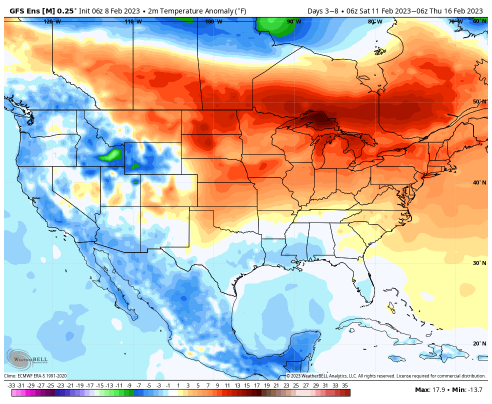
Meanwhile, an unseasonably mild pattern continues here next week.