
Updated 02.04.23 @ 8a
All is quiet now, but that will change next week as an active weather pattern returns. A weak frontal boundary will scoot through the Ohio Valley Tuesday with a few showers before a bigger deal unfolds mid and late week. It’s a classic “leader-follower” type setup.
The lead storm system will lift northwest of the region Wednesday, bringing a slug of moisture northward into the region. Moderate to heavy rain is a good bet at times in an unseasonably mild pattern. Highs will zoom into the 50s to near 60° and we’re even talking about some embedded thunder to boot. A solid 1” to 2” of rain seems like a good call with this system, most of which will fall Wednesday.

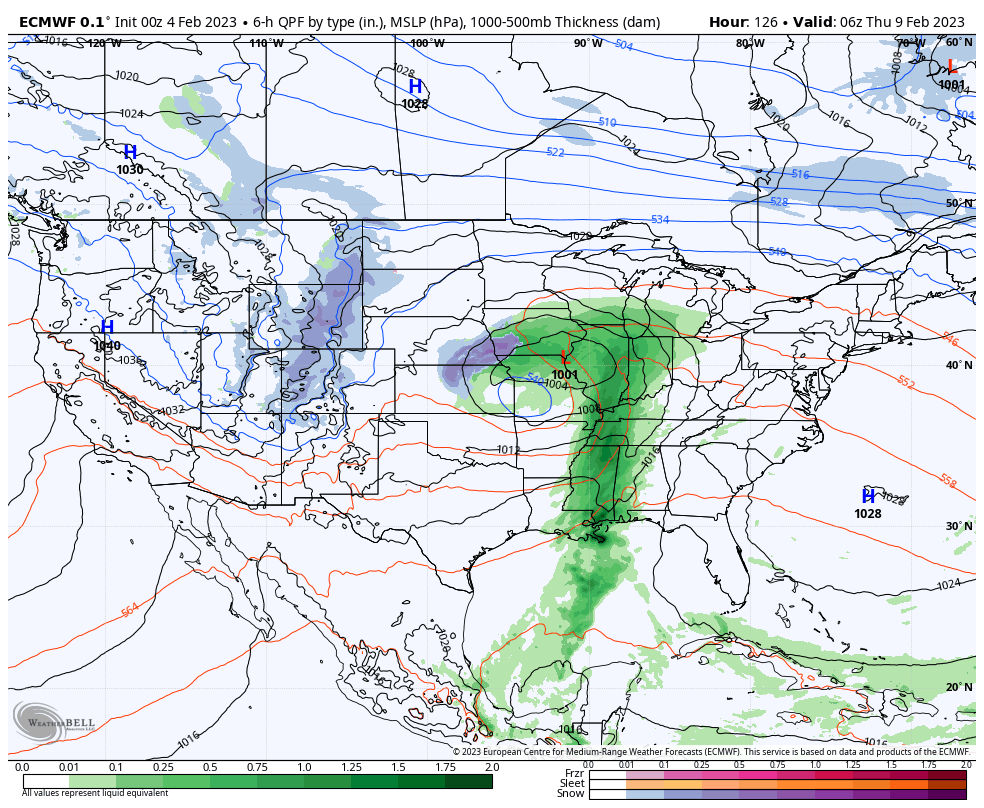
As this storm exists, it’ll drag a cold front and more seasonally cool air back into the region for late week. That’s when additional energy will track east out of the Plains and towards the East Coast.

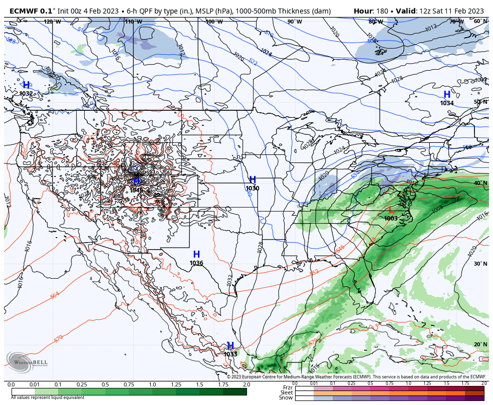
While confidence is high on this setup, exactly where the energy phases with the late week system will determine whether we’re talking about an Ohio Valley winter storm threat or more of an East Coast threat. Stay tuned. At the very least, despite the mild pattern, next week sure won’t be boring…