Tropical Storm Cristobal made landfall along the southeast LA coastline just after 6p eastern time as a 50 MPH storm. The upcoming 48-72 hours will feature Cristobal moving north and impacting the MS Valley, Midwest, and Great Lakes region. This evening we wanted to spend a bit more time focusing on the impacts of Cristobal’s remnants across central Indiana.
Monday- Dry conditions will persist along with plentiful sunshine and warm temperatures. We anticipate highs will top out in the middle to upper 80s with a partly cloudy sky that will likely feature increased mid-high level cloudiness across southwestern IN late day. This is in association with the expanding high level cloud canopy associated with Cristobal. An easterly flow will maintain low dew points and a very refreshing airmass to open the week (stark contrast compared to what awaits Tuesday).
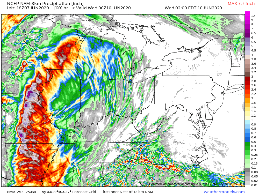
Tuesday- Cristobal’s remnant circulation will continue to track north up the MS River Valley. Indiana will begin to experience some of the outer bands by the afternoon and evening hours. While the remnant circulation will remain well to our west (along with the more concentrated, heavy rain), these outer rain bands will be capable of producing torrential rain and could also produce a couple of quick, spin-up tornadoes (not uncommon with landfalling tropical systems). It’ll be important to remain weather-aware across the entire state Tuesday (more specifically during the afternoon and early evening across central Indiana). Tuesday will, by far, be the hottest day over the upcoming (10) days, including highs flirting with 90º and dews in the lower to middle 70s. Can you say “tropical?!”

Wednesday- The day will start very humid as the rich, tropical moisture continues to take up residence across the western Ohio Valley, but changes loom. We can expect a “smattering” of showers and thunderstorms ahead of the 1st of 2 frontal boundaries that will sweep through the region during the 2nd half of the week. MUCH LESS HUMID air will sweep into the area Wednesday evening. This will be a precursor to a much less humid and cooler weekend ahead.
How Much Rain Are We Talking? As you can see, the bulk of the heavy rain will remain well to our west and closer to the immediate remnant circulation of Cristobal. We expect rainfall amounts between 0.25″ and 0.50″ in the outer rain bands across central Indiana Tuesday into Wednesday.