
Averages for June are as follows:
- Average Low: 62.1 (f)
- Avearge High: 81.9 (f)
- Average Rain: 4.25″
- Average Snow: 0.00″
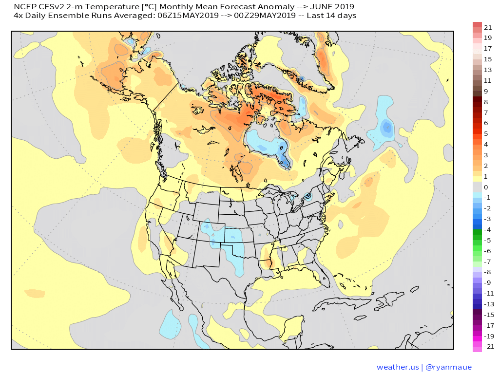
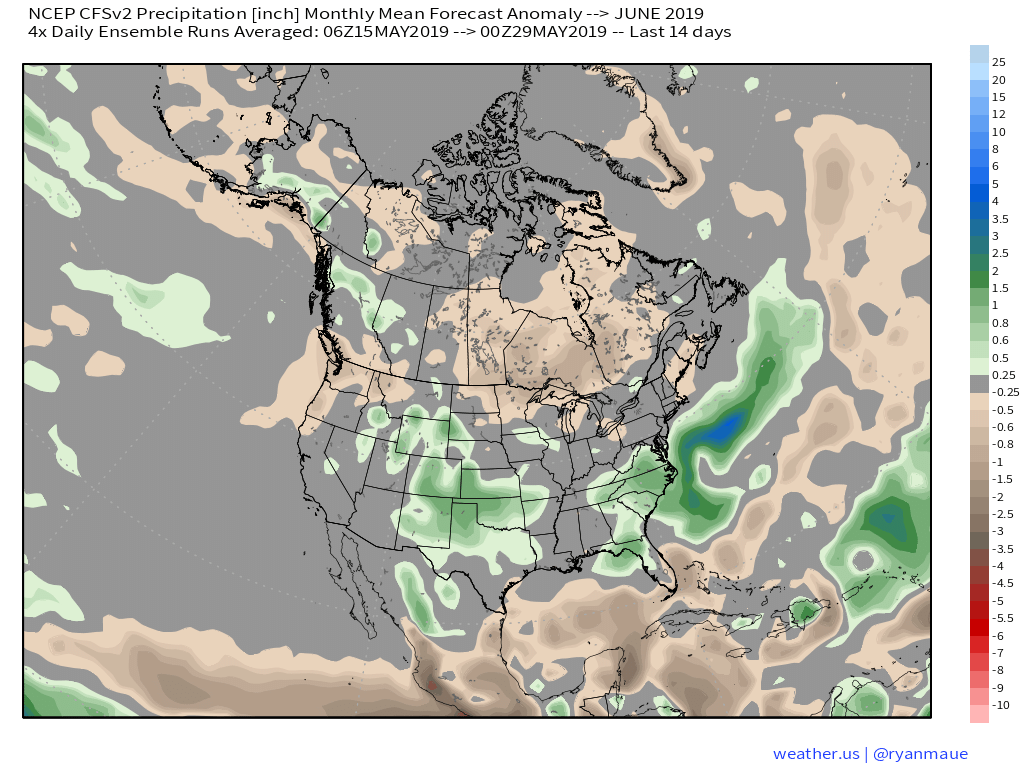
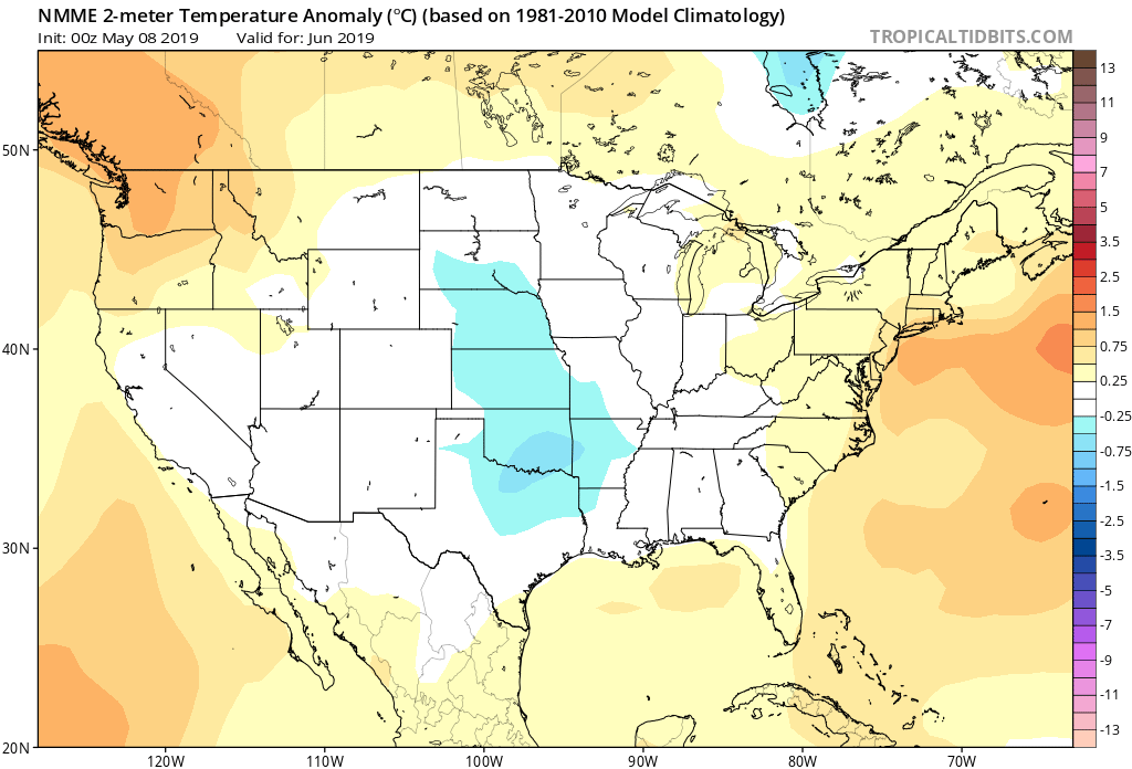
As we head to the 50-yard line of 2019 (already?!), we’re of the belief we’re looking at a cooler than normal month of June with close to average rainfall. Before we get into our reasoning of such, let’s look at a few snap shots of the latest data:
CFSv2
JMA

NMME

Though we can’t show it, the longer range European model paints a cool, wet picture from the south-central into the Plains and portions of the Northeast.
Given the analogs we’ve looked over with weak El Ninos along with similar MJO pulses, we’ve built a generally wet and cool June forecast nationally:
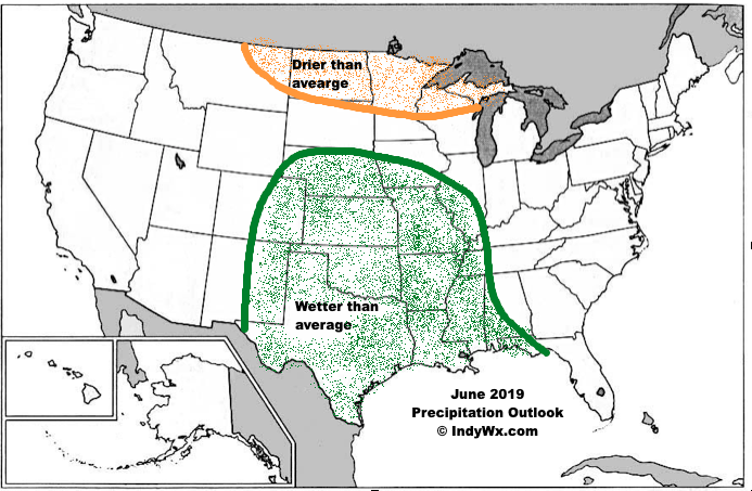

Ridging should support warmer than average conditions across the Southeast and Pacific Northwest, along with a rather widespread cooler than normal regime through the south-central Plains into the Great Lakes and New England. Unfortunately, we think wetter than normal conditions remain from the Delta into the central Plains. With that said, conditions seem more favorable for planting through a large portion of the OHV region.