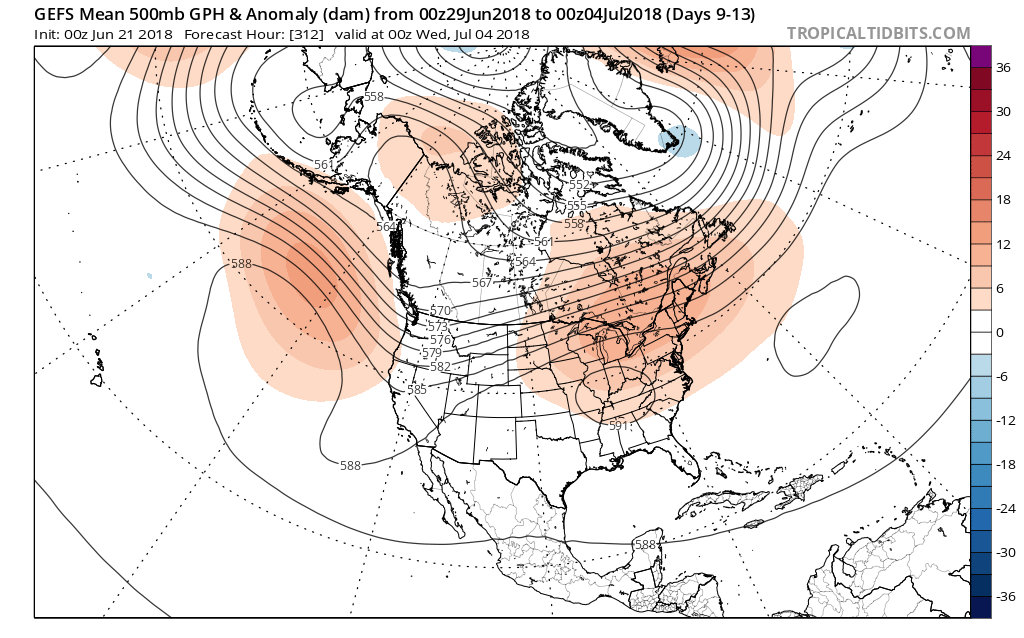
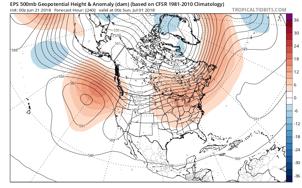
While cooler and wetter conditions dominate now, thoughts are shifting ahead to the all-important 4th of July time period.
Models are in relative agreement that a sprawling upper level ridge will park itself over the Ohio Valley, leading to a higher than normal confidence for a medium to longer term forecast period.

 The end result would be anomalous heat and a drier pattern, as a whole, as we transition through the early stages of July. Heat to the magnitude of what we experienced last weekend isn’t off the table with such a similar pattern.
 Looking ahead, thankfully, one of our more trusted longer range computer models (JMA Weeklies), shows the pattern relaxing as we move into mid-July. The model shows the heat backing west and a more active northwest flow (wetter pattern) returning here…

