Changeable Weather Christmas To New Years…
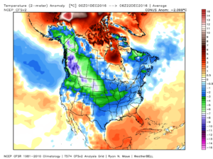
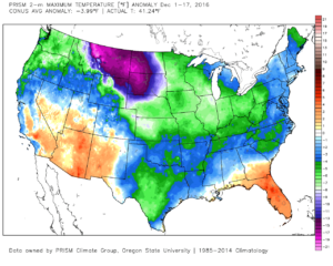
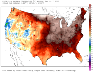
It’s hard to believe we’re only a few days from Christmas! Through the 22nd, Indianapolis is running a whopping 6 degrees below average. Cold rules across the Lower 48, month-to-date.
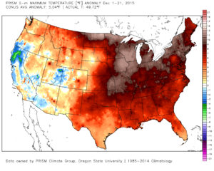
 This is, of course, is in stark contrast to December 2015.
 As we move forward, an active pattern awaits between now and the end of the year. This comes after a few days to catch our breath, including moderating temperatures leading up to Christmas.
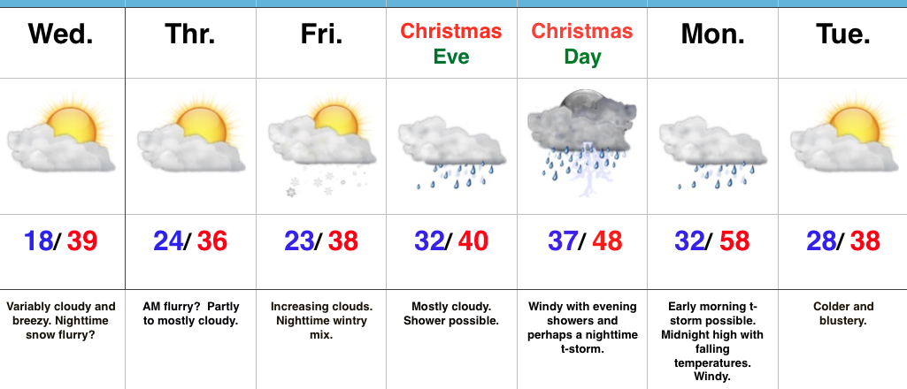
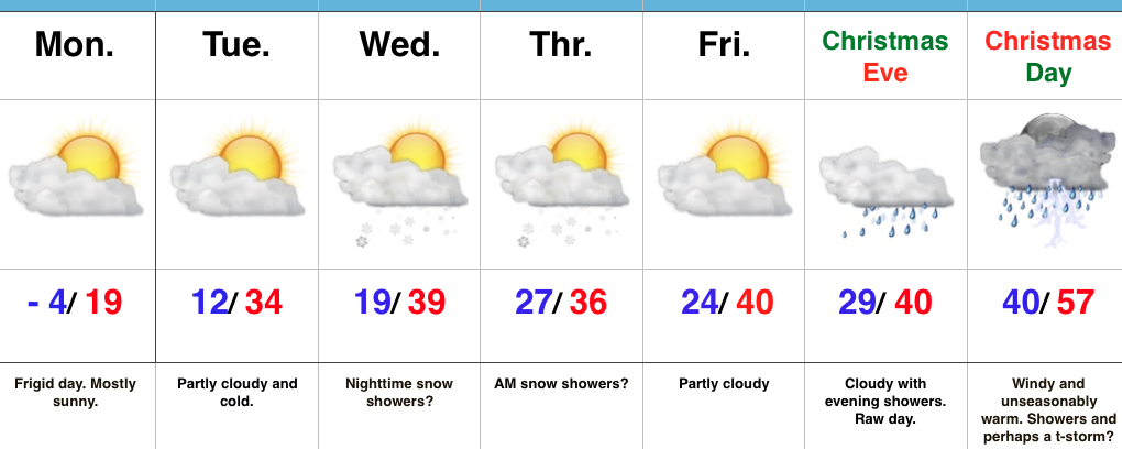
An initial wave of moisture will lift northeast and result in a rather gloomy day Friday with increasing rain chances Friday afternoon and evening. Initially, precipitation won’t make it to the ground, but we should saturate the column enough that rain reaches the ground for most of central IN by evening. Showers continue Friday night into the wee morning hours Christmas Eve. (If traveling towards Chicago, a wintry mix and snow will be a good bet Friday PM).
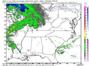 Christmas Eve will feature overcast skies with areas of fog and drizzle, but the majority of the concentrated rain should fall south of the region. Santa’s ride into central IN should be uneventful, weather-wise.
Christmas Day will start off with temperatures in the mid to upper 30s along with cloudy conditions and an increasingly gusty breeze that will shift out of the southeast to the south Christmas night. Shower chances will be present by the evening before giving way to more widespread showers and embedded thunder overnight into Monday morning. Temperatures will be stuck in the 40s most of the daytime Christmas before rising into the upper 50s predawn Monday.
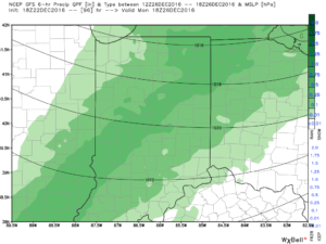 Temperatures will fall through the day Monday and we should run much closer to seasonable temperatures next week. A couple of additional storm systems will have to be monitored for rain and snow prospects the middle of next week and again around New Year’s Eve/ Day. Initially, we’ll be rather mild, but there may be more in the way of cold air readily available to make the storm system around New Years “more interesting” from a wintry perspective.
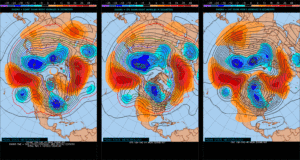
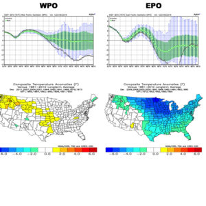
Longer term, we have to wonder if the negative EPO isn’t about to take control just past the New Year. More and more data is coming around to the idea that the arctic hounds may (yet again) be on the attack early January… Time will tell and we’ll continue to keep a close eye on things.
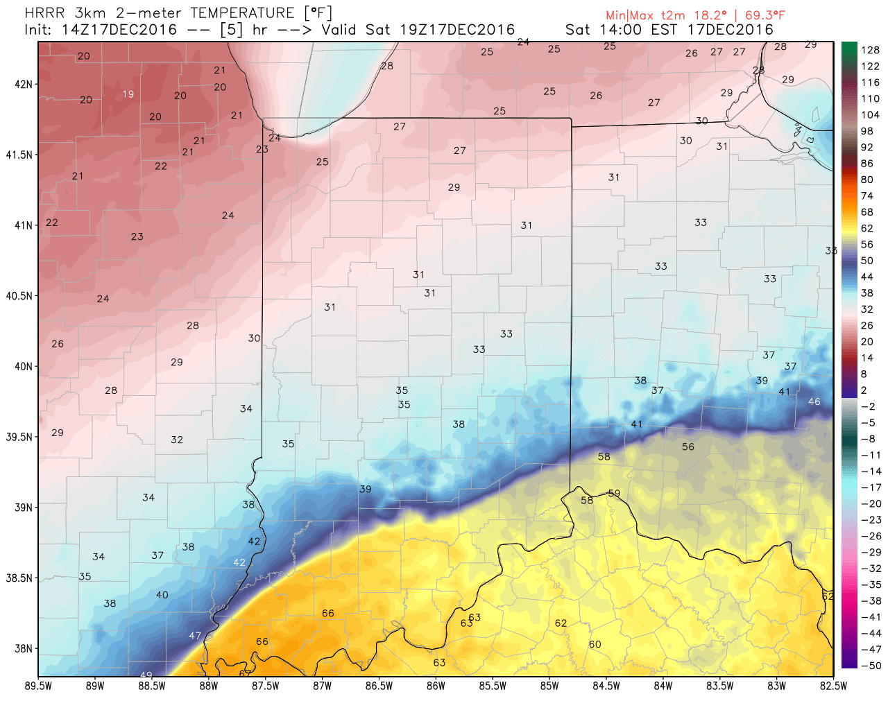 The heavy, dense, arctic air will win out as evening turns into nighttime. Indianapolis is back to the freezing mark around 6p and into the 20s by 9p.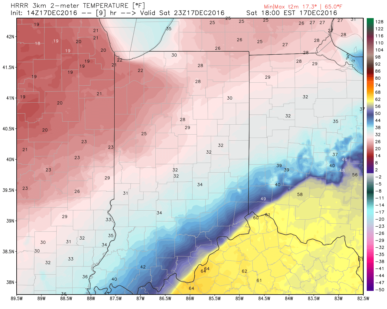
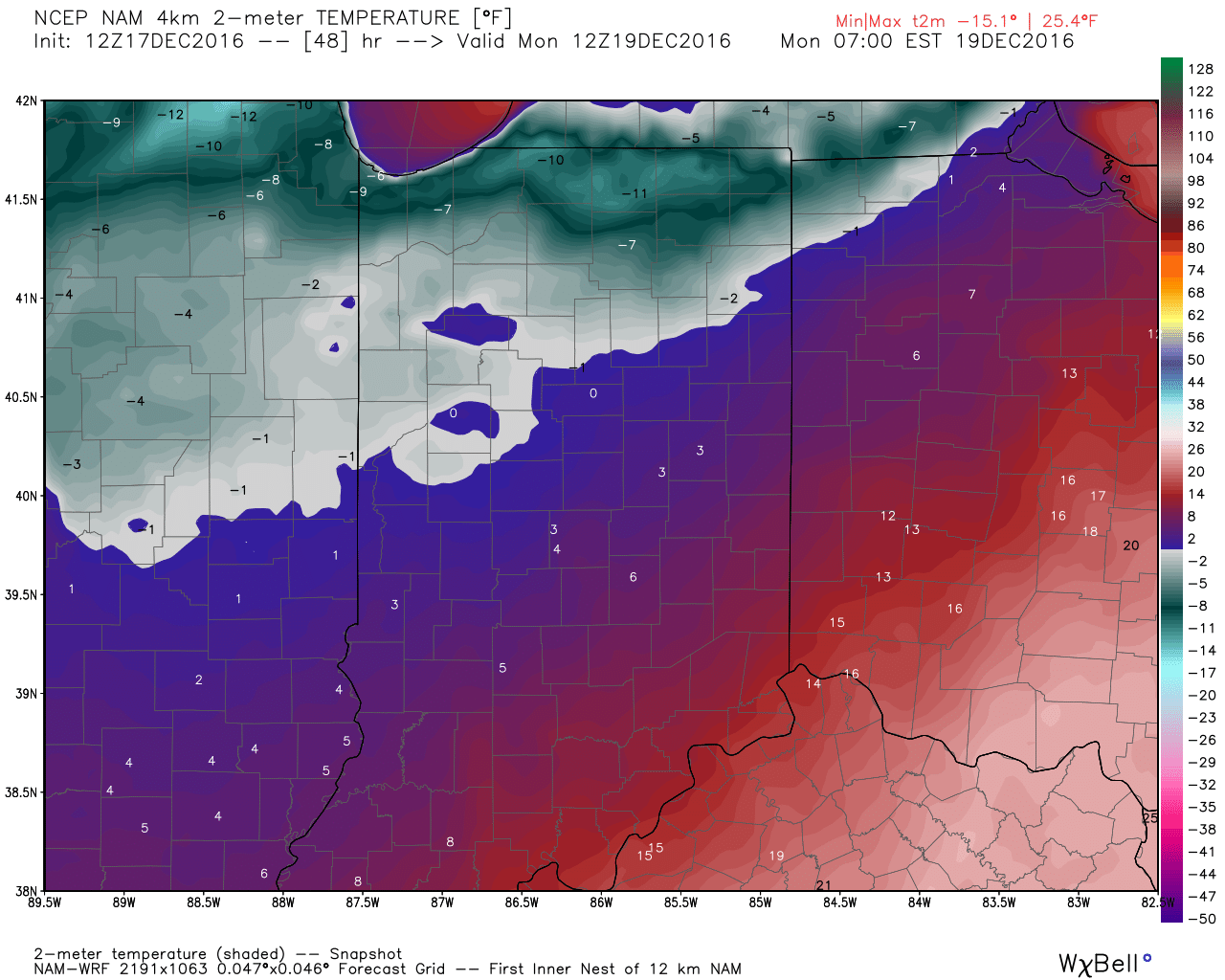
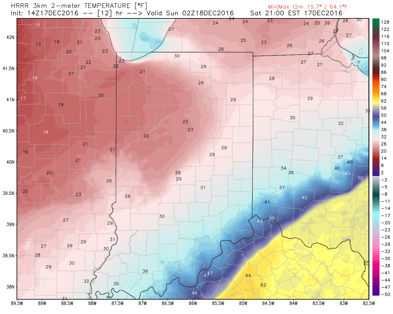 Temperatures will continue to fall through the day Sunday and by Monday morning central Indiana will be in the single digits, with below zero readings across northern parts of the state.
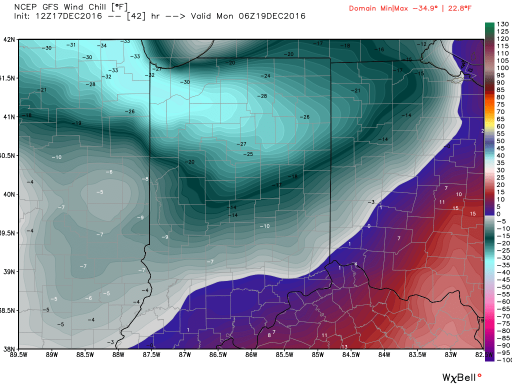
 Wind chill values of 10 to 20 degrees below zero will be common by Sunday night into Monday morning across central Indiana.
 Areas of drizzle and freezing drizzle will continue across the region into the early afternoon, but begin to expand in coverage and intensity once again by evening. Note the area of freezing rain expand across central IN, including Indianapolis, between 4p and 7p.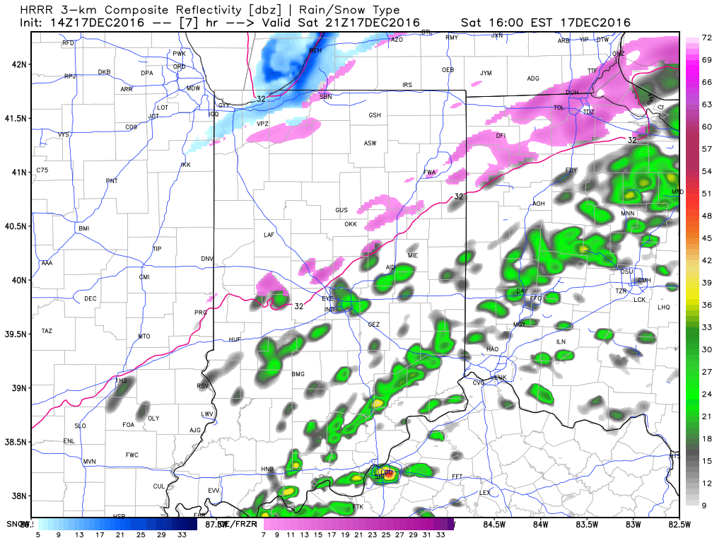
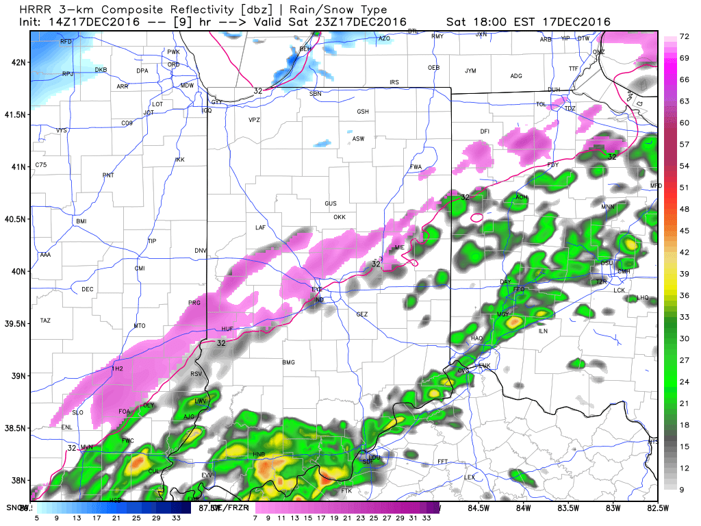
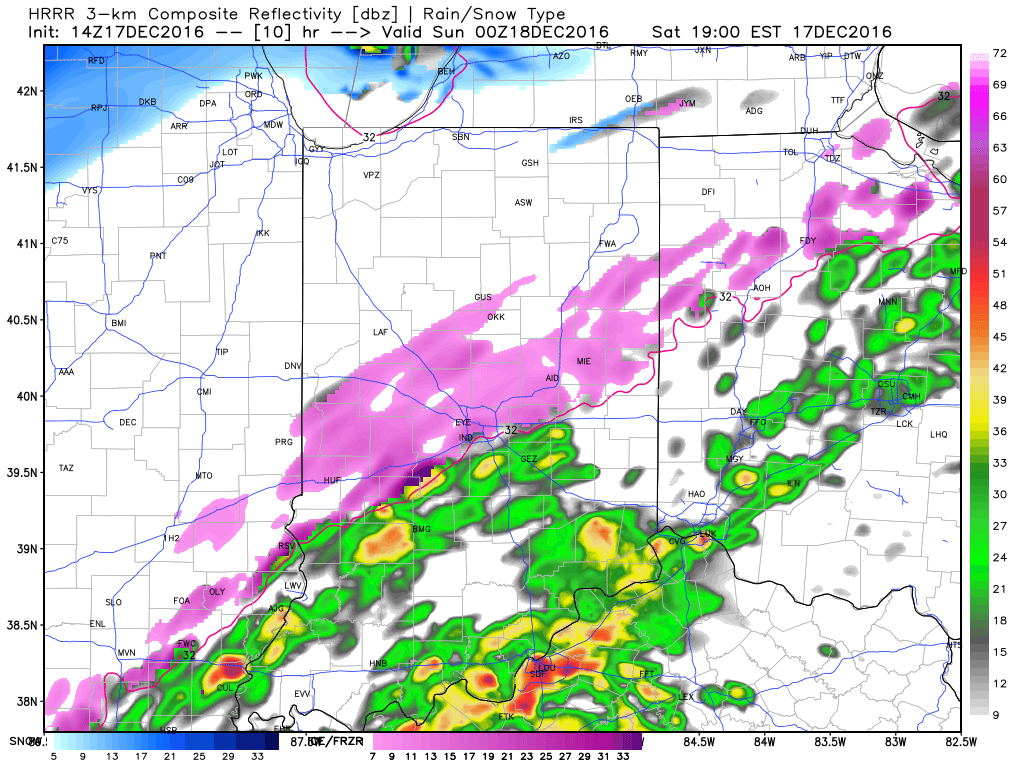 Freezing rain will eventually begin to mix with sleet and eventually transition to light snow during the overnight from northwest to southeast. A coating of snow to less than 1″ is a good bet on the new icy glaze that develops tonight.