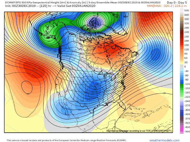
The storm system that will impact the region late this week will really be a precursor of what lies ahead over the upcoming 10-14 days.
Here’s how we envision the ‘mean’ pattern shaping up through the January 20th time period:

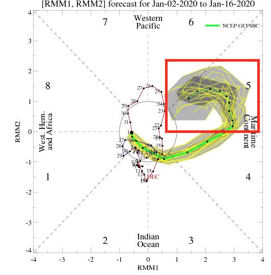
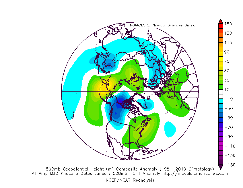
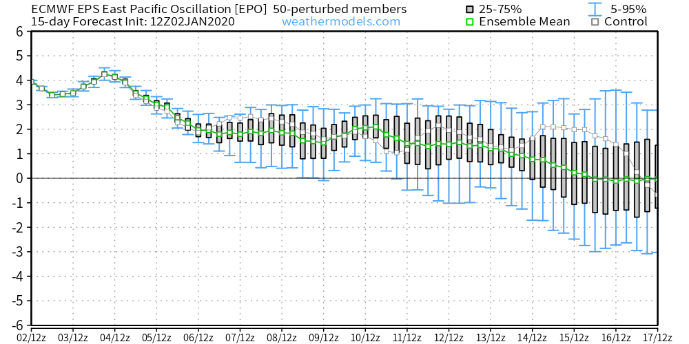
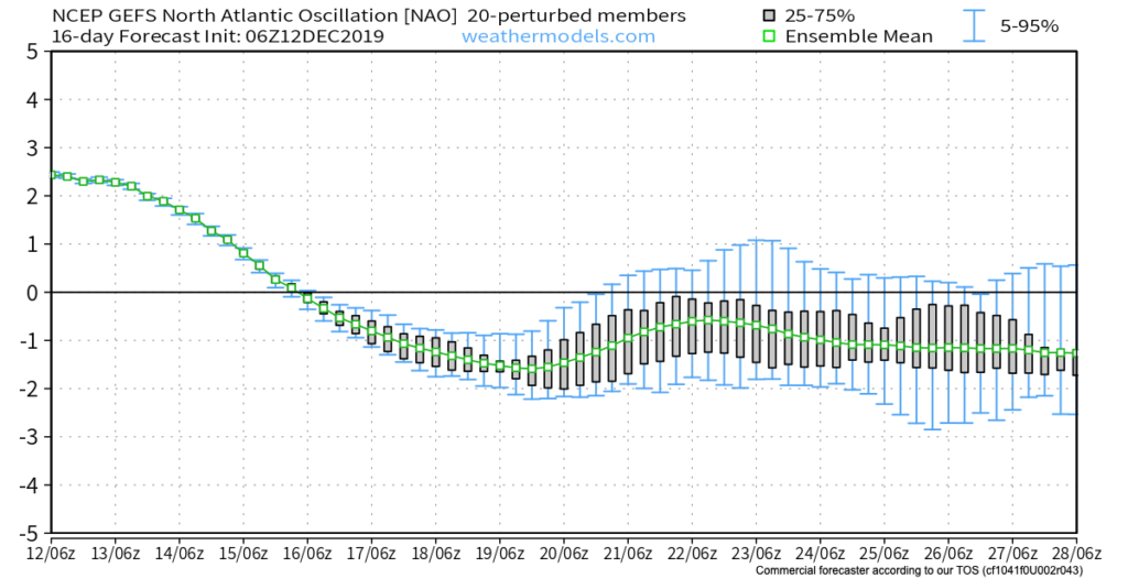
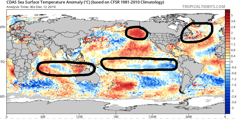
This pattern is driven by Phase 5 of the Madden Julian Oscillation (MJO) and, secondarily, by a positive EPO.
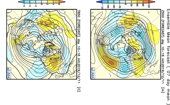
Upper air patterns in January typically look like this during MJO Phase 5:

The analog composite above isn’t as strong compared to reality with the northern Plains/ Rockies cold and that’s where things could potentially turn a bit more interesting, locally, once out of Phase 5 (more on this a bit later in the week). As it is, this cold will try to press and as this takes place, resistance from the East Coast ridge will put up a fight. The battle ground will set-up over our neck of the woods and the end result will be an active/ stormy pattern that features “transitional” cold shots. This time of year, even warmest of patterns can present wintry challenges, however. Case in point is this weekend. Personally, I think what will actually take place with respect to the strength and track of the low pressure system will end up being a blend of the intense European and more progressive GFS. It’s going to be mighty tough to drive such an intense low so far northwest, per the Euro- especially considering the placement/ strength of the high to the north.
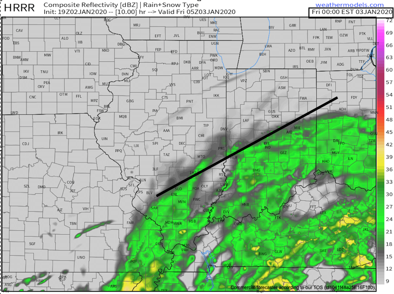
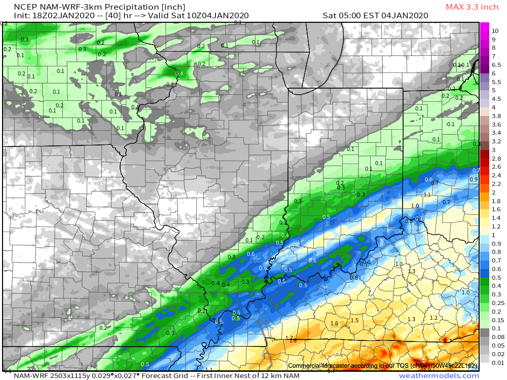
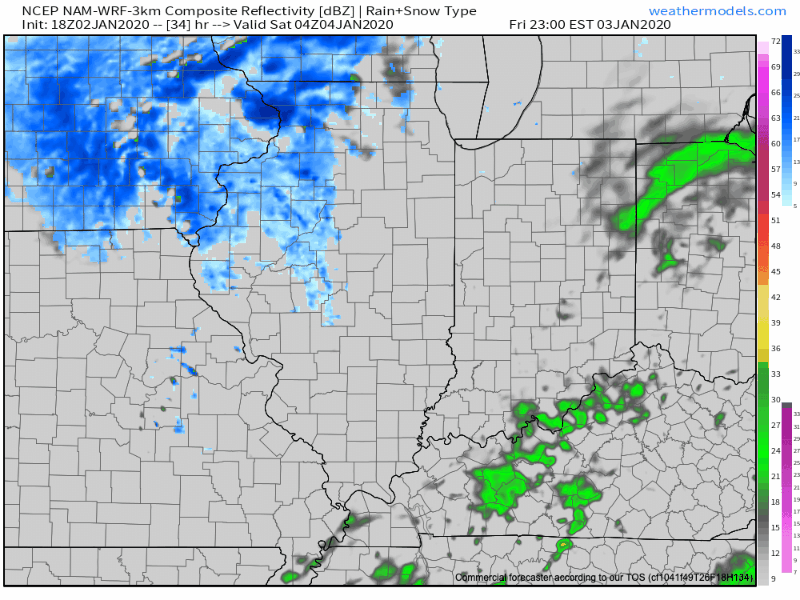
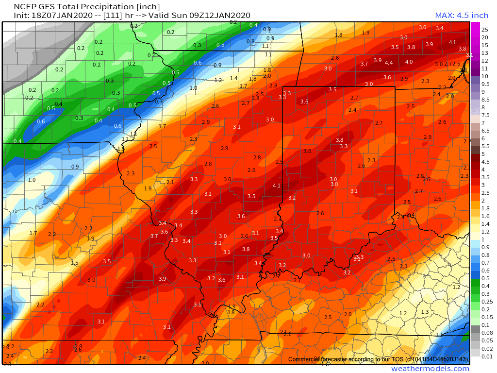
With that said, this continues to place northern parts of the state under the threat of a wintry mix of snow and freezing rain/ sleet, while central and southern areas deal with flooding rain. If traveling the state Saturday, expect a significant temperature gradient that will result in a difference of as much as 20° within 10 miles in some cases, especially across north-central parts of the state. I think there’s still the chance rain could end as wet snow across central Indiana Saturday PM, but the better chances of accumulating wintry precipitation will likely be to our north.
Locally, the bigger concern at this point has to do with the potential of 2.5″ to 3.5″ of rain with locally heavier amounts. The bulk of this likely falls late Friday night into Saturday morning. Localized flooding is possible and we’ll likely have to begin issuing storm briefs this time tomorrow.
Next up will come storm threats in the 1/14 and 1/16-1/17 time frame…
Stay tuned, friends.