 Highlights:
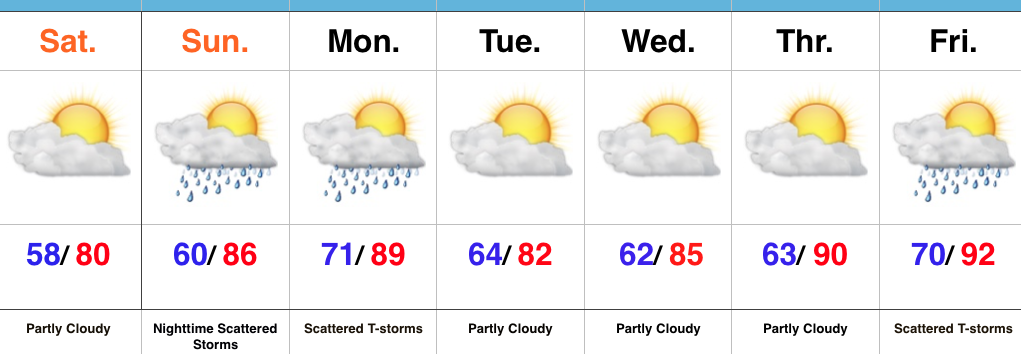
- Dry and pleasant weekend
- Storms return late Sunday night into Monday
- Heat builds late next week
Refreshing Feel…A weak disturbance is tracking through central IN this morning with a band of clouds and a couple sprinkles. That said, sunshine will quickly return late morning into the afternoon and set up a beautiful day, along with pleasant temperatures and low humidity.
Our next round of storms will arrive from the NW late Sunday night into Monday. A few of these storms could be strong to severe and also include locally heavy rain.
Modeling disagrees on the magnitude of cooling and drier weather behind Monday’s front. The more aggressive GFS would imply another push of pleasant air for a couple days Tuesday-Wednesday, while the European isn’t as bullish. For now, we’ll split the difference and revisit tomorrow.
One thing that modeling does agree on is building late week heat. Expect a hot, humid close to the work week.
Upcoming 7-Day Precipitation Forecast:
- Snowfall: 0.00″
- Rainfall: 0.75″-1.25″

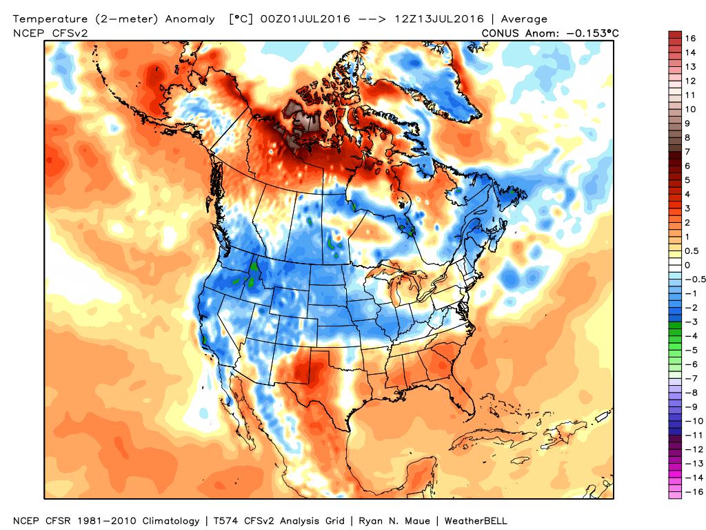 Ensemble data continues to suggest that the mean ridge position (hot dome) develops over the eastern portion of the country early next week before slowly retrograding northwest with time.
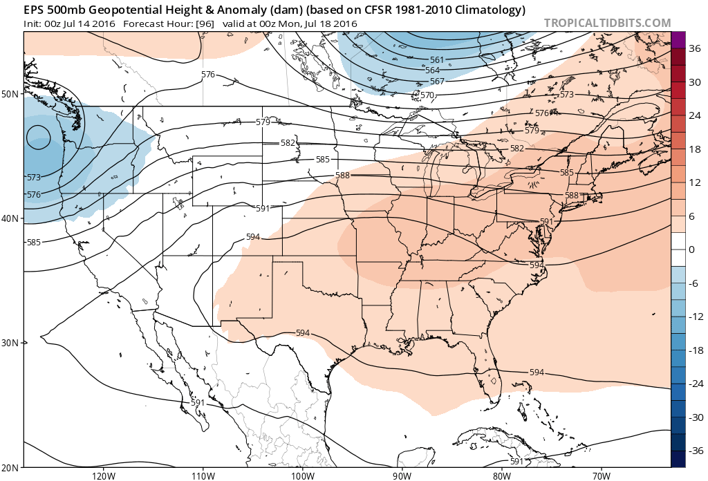 By the middle and latter portions of next week, the hot dome is set up in a position that will yield an extended stretch of hot temperatures across the state, including multiple mid-90 degree highs across central IN.
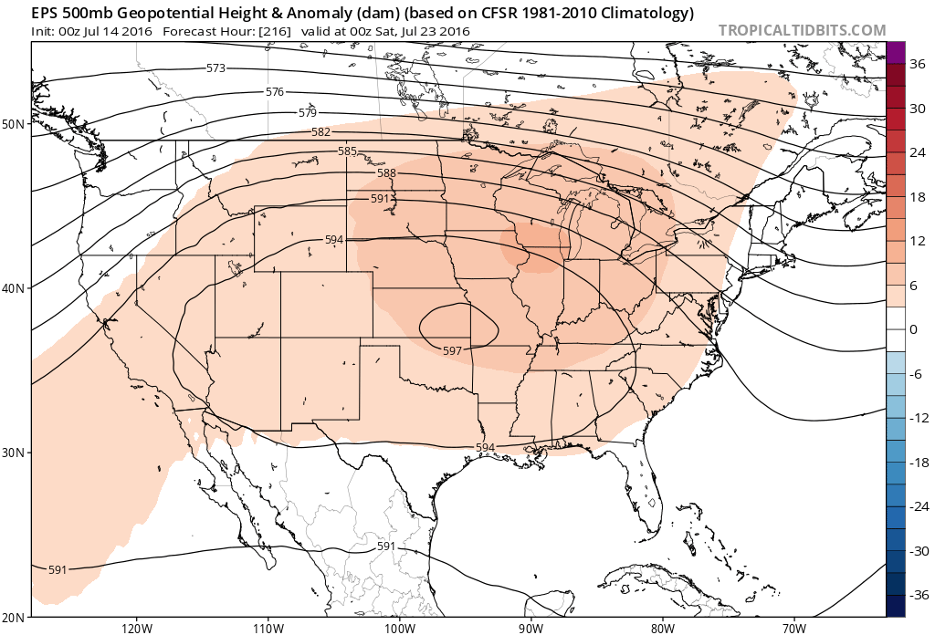
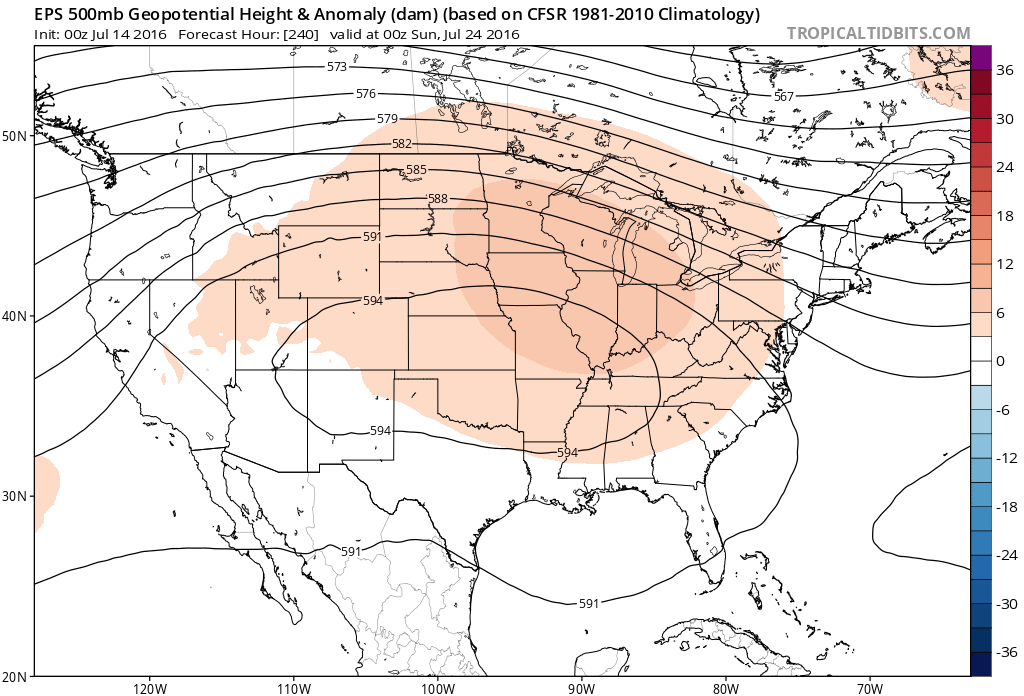 Given the current look of the ridge position, this would also be a rather dry pattern, as well, as the storm and rain track would shift north across the Canadian border into the northern Great Lakes states. (Follow that 588 line above for a good indicator of the storm track).
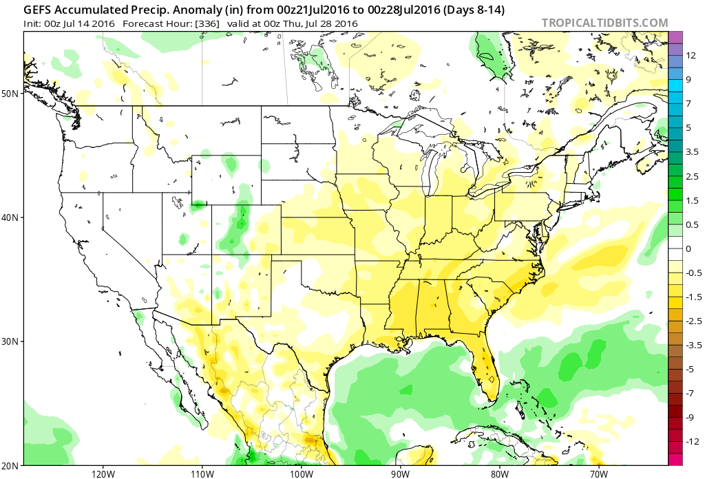 One always has to be careful in trying to predict the timing of the ridge breaking down/ overall placement this time of year (models can struggle), but for now it appears as if we really heat things up and dry things out as we move through next week- especially the middle and latter portions of the week.

 2.) The aforementioned cold front will sweep through the state tonight and allow a much drier and cooler air mass to push in for the weekend. We’ll enjoy a downright pleasant feel this weekend, including lots of sunshine. Enjoy!
 3.) Dry weather should continue into early next week, but wet and stormy weather will return as early as Tuesday, continuing into the latter portions of the week.
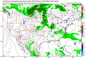 This is the start of what should be a rather wet period for mid and late month.
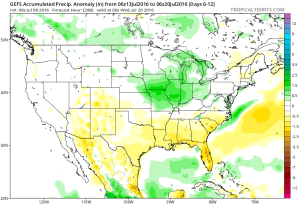 4.) This is also a continued “transient” pattern through the end of the month, meaning we really don’t see any sort of sustained dry, hot weather in the foreseeable future…
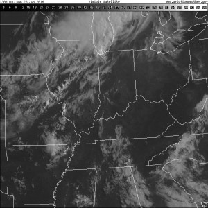 A line of thunderstorms will develop later this afternoon and a few of these could be strong to severe as they push to the south. Large hail and damaging straight line winds are of greatest concern. We think best chances of thunderstorms across central IN will come during the mid to late afternoon hours into the early evening.
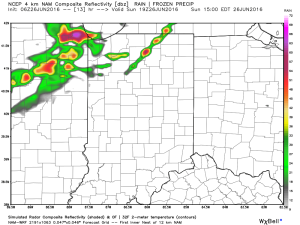
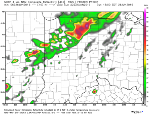
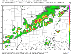
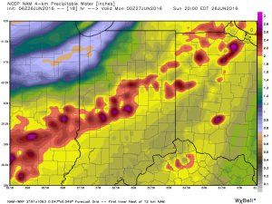
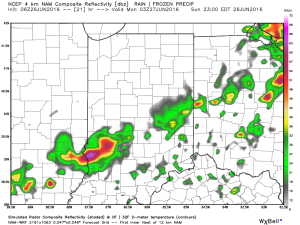 The air mass is loaded with moisture today. In fact, precipitable water values will zoom to 2″+ this afternoon and suggest the threat of torrential rainfall with any storm that develops.
 Once to Tuesday, a MUCH cooler, drier air mass will arrive on the scene and help set up an unseasonably cool close to the month.