September Opens Warm Before Mid-Month Changes…
Thursday features updated weekly products from both the JMA (morning) and European (evening). We’ll update this post tonight once the European Weeklies are in.
The updated JMA Weeklies show a hot open to September as a significant upper ridge takes up residence over the eastern portion of the country. While the upper Mid West gets in on heavy rain, it’s a rather dry pattern, locally. Sure we’ll have typical “splash and dash” variety of storms through the Labor Day weekend, but nothing worth cancelling any of your outdoor plans. In fact, we recommend incorporating a visit (or two) to the pool over the weekend as well above average warmth and humidity dominate.
Week 1
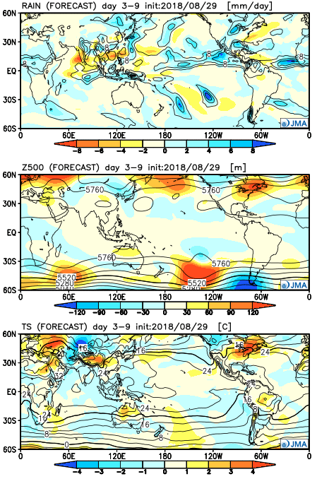 “Transitional period” summarizes this timeframe. The upper ridge begins to retrograde during Week 2, but it’s still a warmer than average pattern. It’s a rather dry pattern, as well.
Week 2
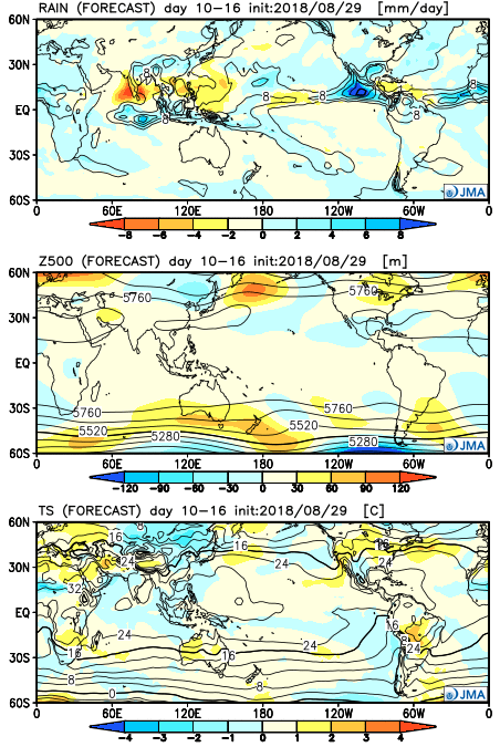 Craving a more “fall-ish” regime? The model says you’re in luck towards the middle of September and would make sense with some of the larger pattern drivers we’re beginning to see behind the scenes. The ridge axis shifts west and allows a cooler than normal pattern to descend into the central part of the country.
Weeks 3-4
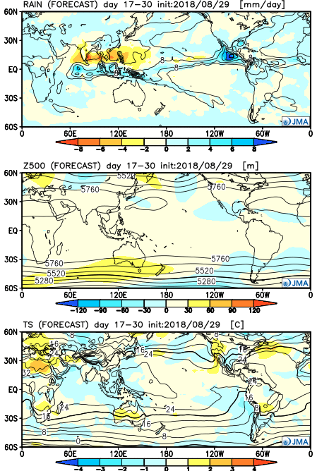
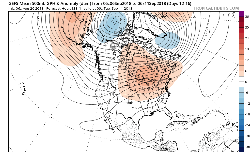
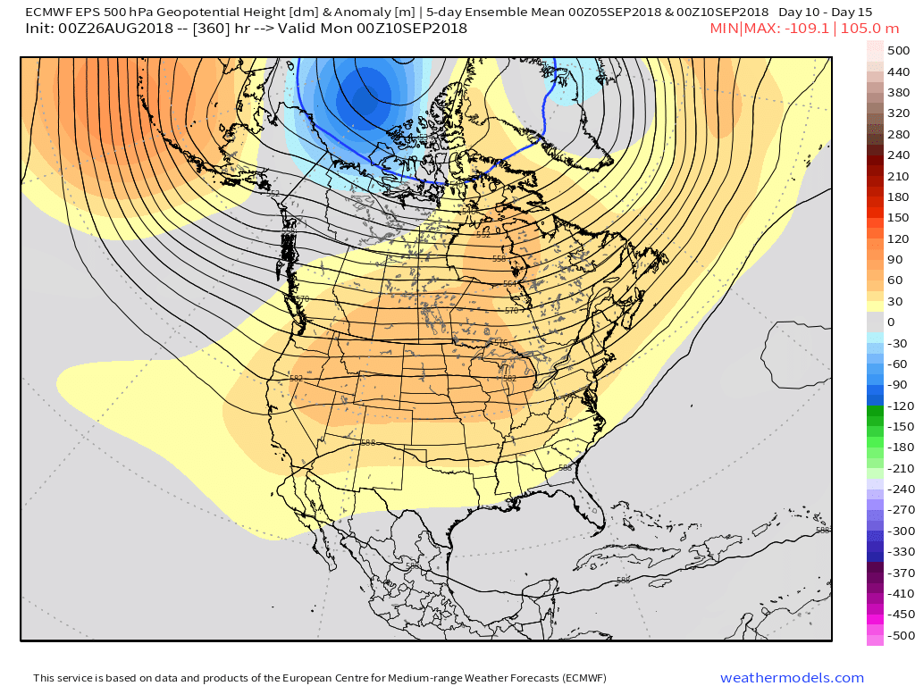 Averages begin to fall in more significant fashion as we transition through the month of September. More specifically, average high temperatures of 83° on the 1st fall to 78° on the 15th. Given the looks of the pattern, highs in the mid to upper 80s (and perhaps a couple of 90° days) will likely be common through the first couple weeks of the new month. Overnight lows will remain oppressive, as well.