
To no surprise as the traditional peak of the hurricane season approaches (September 10th), the tropics are beginning to turn more active. In addition to Florence, new disturbed weather, currently in the Caribbean, may spin up on it’s journey northwest into the Gulf of Mexico early this week.

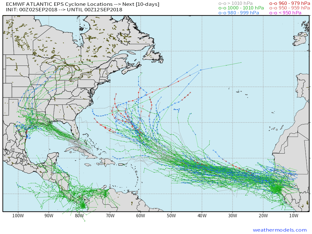 The tropical disturbance entering the GOM (Gulf of Mexico) early week will begin to find a more favorable upper level environment for further strengthening. While we always have to be cautious with any sort of tropical entity in the Gulf of Mexico this time of year, the greatest immediate concern is for locally heavy rain along the northern Gulf Coast early and middle parts of the week.
Then attention will shift to the potential of remnant tropical moisture “curling” around the periphery of the eastern ridge during the latter half of the week. While far too early to get specific, chances are there for elevated hefty rain chances for areas from the MS Valley into the Mid West as we get set to close the shortened work week and head into next weekend.
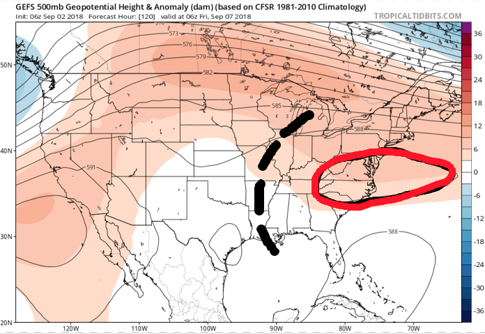
 While the axis of heaviest rainfall will have to be fine tuned, confidence is high on unsettled times returning around these parts beginning Wednesday- thanks to the combination of an approaching cold front and remnant tropical moisture.
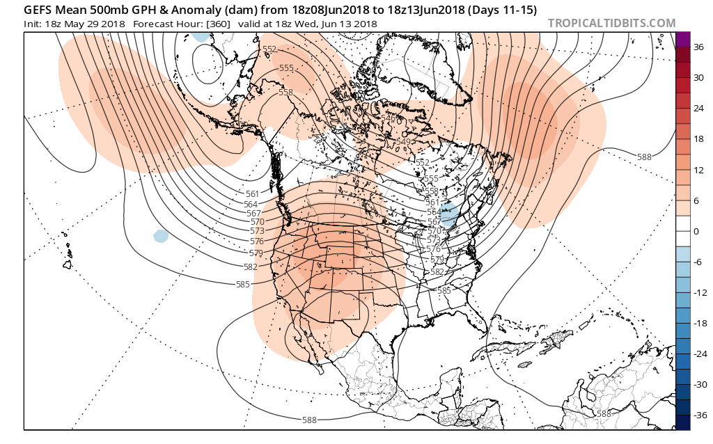
 In addition to a wetter pattern, we would also want to pay attention to the potential of a gusty storm complex or two riding southeast around the hot dome off to our southwest.
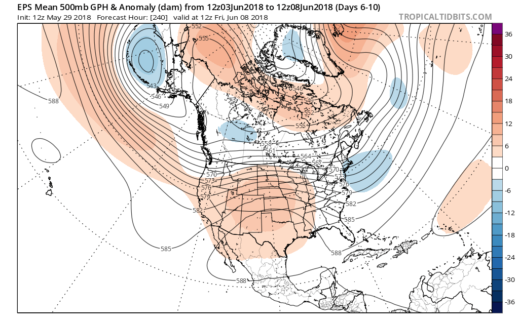
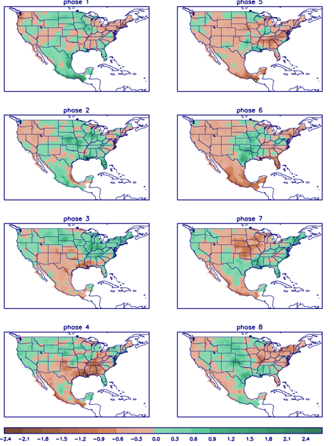 In closing, the JMA Weeklies led the charge in the idea of more active times returning in June, and the combination of GFS and European ensemble data suggests they had merit. With the added bonus of having the MJO on our side, it’ll be hard to avoid a change of the guard towards an overall wetter pattern in the weeks ahead. Perhaps Alberto’s remnant moisture is only the beginning…