Damp, Chilly Tuesday…

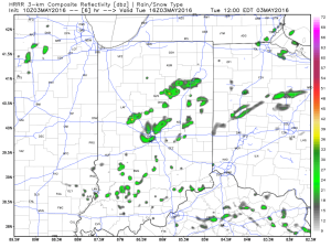
Heavy drizzle and patchy light rain are falling across central IN this morning along with temperatures in the upper 40s to lower 50s.  It’s a raw morning.  As we move forward, areas of light rain and drizzle will remain in the forecast into the early afternoon before we potentially brighten the skies in areas during the afternoon.  That sun may be just enough to pop a shower or (non-severe) storm during the afternoon.
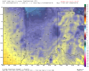
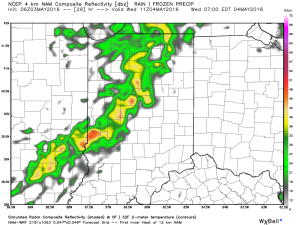
1Reinforcing chilly air will blow into town Wednesday and will be accompanied by a band of showers and thunderstorms tomorrow morning.  Once this passes, expect breezy conditions with steady or slowly falling temperatures through the day.  Pack a jacket tomorrow as temperatures remain in the lower to middle 50s.
2

3Rainfall amounts should be in the 0.25″-0.50″ range between now and Wednesday afternoon.

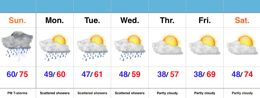
We’ll dry things out and warm up as we progress through the latter portions of the work week and the weekend.  Beforehand, look for lows in the upper 30s Thursday morning.

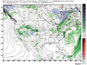
As we look ahead, shower and scattered thunderstorm chances will be on the increase Saturday evening.  We’ll “sure up” timing in the days ahead.
5

Monday Afternoon Video Update…

It’s a cool, gloomy open to the work week.  We’ll turn even cooler by mid week, BUT changes are coming that promise increasingly warm and sunny conditions by the weekend.…

You must be logged in to view this content. Click Here to become a member of IndyWX.com for full access.  Already a member of IndyWx.com All-Access?  Log-in here.

Strong Storms This Evening; Cool Open To May…

Screen Shot 2016-05-01 at 10.57.11 AMHighlights:

  • Strong storms develop this evening
  • Scattered showers through mid week
  • Unseasonably cool open to May

Watching For Evening Storm Development…The morning has gotten off to a beautiful start across central IN, but the sunshine will likely be enough to help destabilize things just enough to assist in afternoon/ evening thunderstorm development.  Additionally, a frontal boundary remains draped across the state and we’ll await a wave of low pressure to move along the front this evening.  A few strong to severe thunderstorms will be possible with large hail and damaging straight line winds the biggest concerns.  We’ll keep an eye on the radar later today.

We’ll flip the page and turn much cooler for the upcoming week.  Reinforcing cool air will be accompanied by showers at times through the mid week period, but we should turn drier late week (and eventually warmer).

Dry Time Is Brief; Wet Saturday Ahead…

Screen Shot 2016-04-29 at 7.52.07 AMHighlights:

  • Friday sunshine before clouds increase late
  • Unsettled weekend
  • Reinforcing cool air next week accompanied by showers

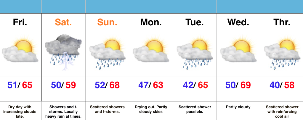
Enjoy The Sun While We Have It…A dry day is on tap and while it’s gotten off to a sunny start, clouds will be on the increase late today.  Those clouds will deliver rain and scattered thunderstorms Saturday.  Some of the rain may be locally heavy.  We’re looking at widespread 1″-1.5″ totals, but there will be locally heavier amounts.  While scattered showers and thunderstorms will remain Sunday, the wetter of the two weekend days is slated for Saturday.

The work week will start dry with increasing sunshine, but cooler.  Reinforcing cool air will blow in Tuesday and again Thursday.  Each cool air reinforcement could be accompanied by a scattered light shower.  That said, next week looks significantly drier with compared to this week.

Thursday Morning Weather Notebook…

Noisy thunderstorms (non-severe) are impacting southern ‘burbs this morning, but dry time is coming as we get into the heart of the rush hour.  This dry time will continue into the late morning hours, but renewed showers and thunder will likely fire yet again early this afternoon (in scattered fashion).

2After an unsettled few days, we’ll get a break, albeit brief, from the wet, stormy times to close the work week.  High pressure will present an increasingly sunny sky Friday, but it’ll be much cooler than today (mid 60s for highs Friday).

4As mentioned, dry times won’t last long.  Rain builds back in Saturday and lingers into Sunday.  Locally heavy rain is possible, including embedded thunderstorms.  Early rain numbers fall in the 1″-1.5″ range over the weekend.

3As we open May, attention turns to a much cooler than normal feel of things.  In fact, overnight data is particularly bullish on the chill next Thursday morning (suggests mid 30s).

1