VIDEO: Two Cold Fronts This Week And Late Sept. Talk…
You must be logged in to view this content. Click Here to become a member of IndyWX.com for full access. Already a member of IndyWx.com All-Access? Log-in here.
You must be logged in to view this content. Click Here to become a member of IndyWX.com for full access. Already a member of IndyWx.com All-Access? Log-in here.
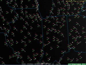
It’s a quiet and cool start to the work week across central Indiana. In fact, a couple upper 40s are showing up on the morning station plots. It’s getting to be that time of the year… (Feel free to click on the image to enlarge).
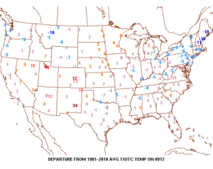
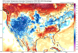
 Temperatures are running slightly below average, locally, with cooler anomalies across the Northeast.
 High pressure will remain entrenched over our region today and supply dry conditions and pleasant humidity levels.
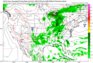
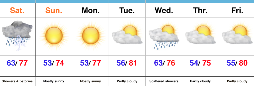
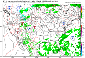 Our next storm system will push in Wednesday and as the cold front sags south through the state, it will spark scattered showers and possibly a thunderstorm.
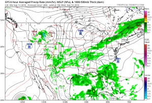 Reinforcing cool air will move in behind the front for a couple days. Lows in the lower-middle 50s with highs in the upper 70s.
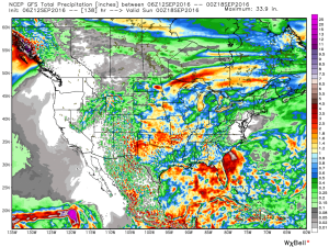
 As we flip the page to the weekend, it still looks rather damp Saturday as another boundary moves in. This will have more moisture to work with when compared to Wednesday and rain coverage will be more widespread. As a whole, (7) day rainfall totals should be in the 0.50″-1.00″ range for most.
 Highlights:
Turning Much Drier This Evening…It’s been a wet and stormy time of things as of late. Locally heavy rain will continue to accompany stronger storms this morning, but we note greatest storm coverage should begin to shift ENE as the morning progresses into afternoon. Renewed showers will likely develop this afternoon as the cold front moves through the state. We’ll then enjoy a marked NW wind shift this evening and that will help push much drier and cooler air in to help create a true fall feel tonight. The second half of the weekend look beautiful- sunny and crisp!
Much needed dry time will be with us for the balance of the upcoming work week. We note a reinforcing push of cool air mid week that could spark a shower, but rainfall amounts don’t look impressive (the air will be much drier than the “soupy” feel we’ve been dealing with for the past week). A more significant rain-maker should arrive next weekend…
Upcoming 7-Day Precipitation Forecast:
A “wavy” frontal boundary will be located over our region through the next 36-48 hours before getting a “shove” south from a cold front Saturday.

The combination of the stationary front along with a tropical-rich air mass in place will be enough in and of itself to produce periods of heavy rain today into Saturday morning. Add in a couple of disturbances moving along the boundary and the heavy rain prospects grow even higher. A strong to severe storm also can’t be ruled out-primarily this afternoon and again Friday afternoon.
Already this morning (6:30a) we note widespread showers and embedded thunder impacting IL and northern IN.

As mentioned, the air mass is plenty “juicy” to fuel locally heavy rain through the period. Precipitable water values (PWATs) will surge north of 2″ for all of central IN later today.

While it won’t rain the entire time, periods of heavy rain will remain in our forecast today through Saturday morning. Widespread 1″-2″ totals will be common, with locally heavier totals.

High pressure will build overhead Sunday and lead to quite the change. A much cooler and drier air mass will return along with brighter skies to wrap up the weekend.
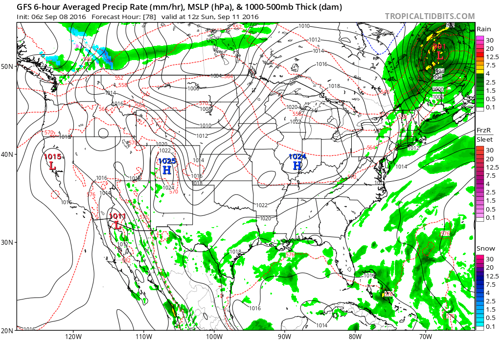
Lows in the middle 50s will be common for the city, itself, Sunday through Tuesday mornings. Upper 40s to lower 50s are a good bet away from the metro.
It’s been a cool and dry start to the month of September. Through the first few days, IND is running 0.70° below normal and 0.44″ below average precipitation.


The upper ridge currently in place will deliver more late summer heat through the end of the work week. It’ll remain mostly dry, as well.


Much better rain and storm chances will have to be built into our forecast Friday into Saturday, courtesy of a cold front moving into the region.

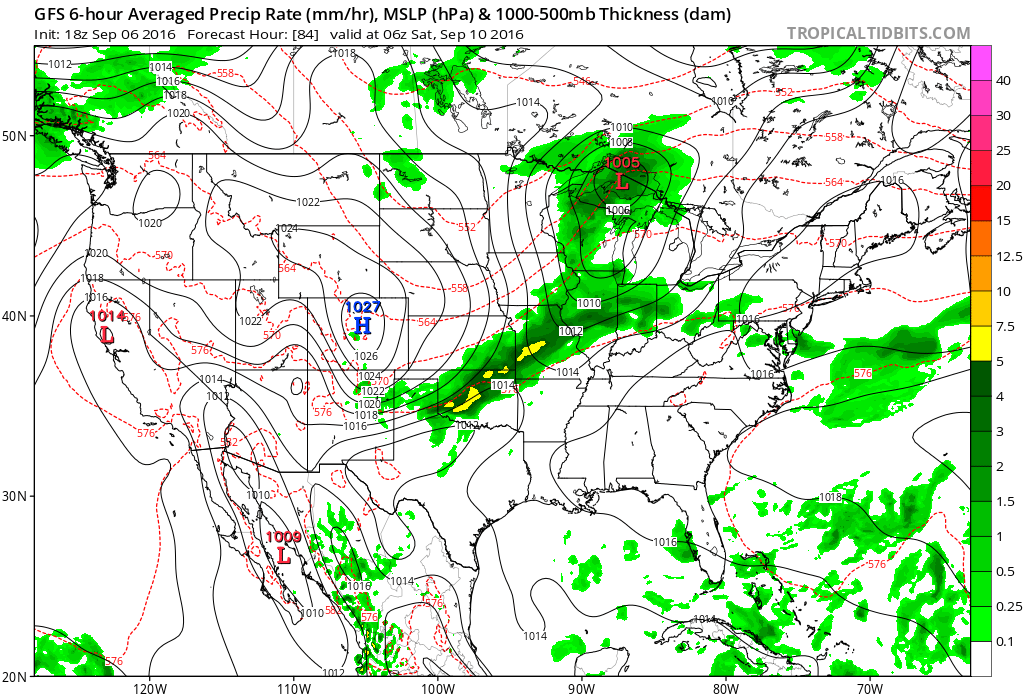

A much cooler regime will settle into the region over the weekend. Highs behind the front in the 70s with lows in the 50s will be common- after rain potential of 1″-1.5″ for most.


A reinforcing shot of cool air will arrive the middle of the following week. Early indications suggest the second shot of fall-like air will be even cooler than this weekends’ and could feature widespread 40s at night.