Mid Week Showers Followed By A Pop Of Cool Air…
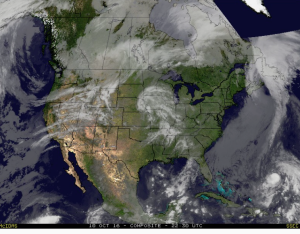
Mid and high level clouds are streaming overhead this evening and will help set up a brilliant sunset across central IN.
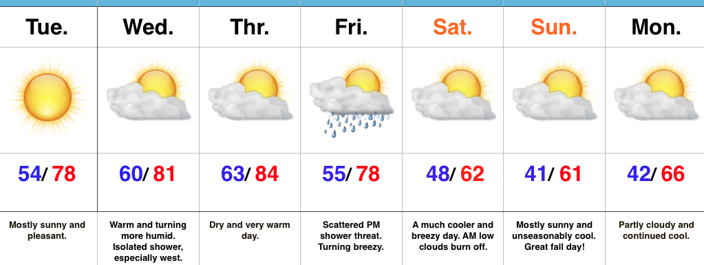
 Tuesday will remain rain-free across the region, along with pleasant temperatures and humidity levels (mid 70s after a low in the lower 50s).
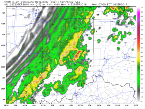
Moisture will continue to be transported northward Wednesday, courtesy of a gusty SW breeze at times. As the approaching cold front interacts with the moisture return, scattered showers will “blossom” across the area Wednesday night into the wee morning hours Thursday.
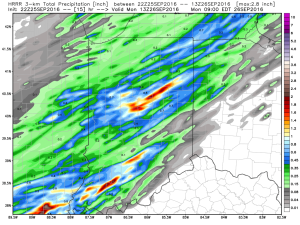
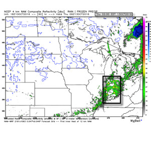 Rainfall amounts don’t look particularly impressive; generally 0.10″-0.25″ during the Wednesday night-Thursday morning time frame.
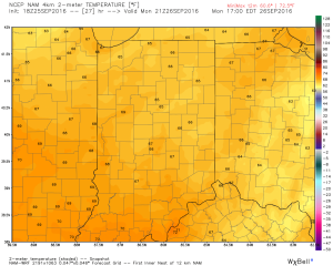
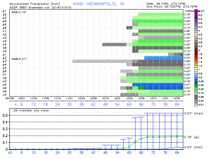 The cool air flowing in behind the front is impressive though. In fact, highs both Thursday and Friday will likely only reach the lower 60s (if that).
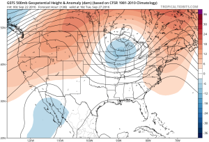
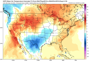
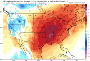
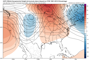
 Despite the chilly air that will be with us to wrap up the work week, ensemble data is in excellent agreement on a significant warmer than average regime developing under a big eastern ridge in the 6-10 day. This will likely promote highs into the lower 80s next week for a few days. Impressive, no doubt, considering we’ll be rumbling through the second half of October by that point.
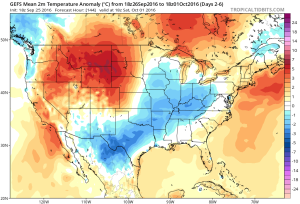
 A “backdoor” cold front will approach the region from the northeast late in the weekend, but won’t have enough “umph” to push the drier, cooler air our friends across the northeast and mid Atlantic will enjoy our way.
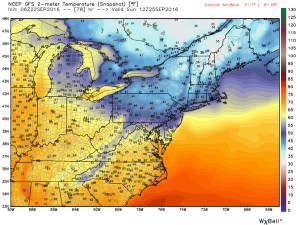 The evolution of the pattern from an unseasonably warm, dry regime to a much cooler, autumnal feel will, undoubtedly, feature showers and thunderstorms as we transition. Modeling continues to waffle back and forth in regards to rainfall totals. As of now, we’ll highlight Monday-Wednesday with increased rain chances.
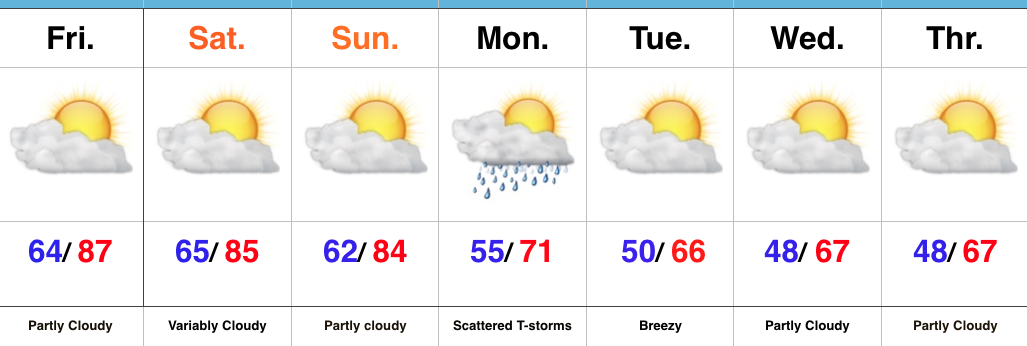
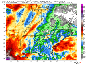 Thereafter, we turn MUCH cooler. Data suggests Tuesday-Friday features temperatures much more like we’d expect for late September. Lows in the 45-50 degree range, along with highs between 65-70 can be expected.