Today will be a quiet and calm weather day across the region. It’s not until we get into the late evening hours when precipitation will overspread central IN from the west. We target an arrival of light rain into the area between 9p and 11p west to east. This light rain should then increase in intensity and begin to transition to wet snow towards midnight, continuing into and through the mid morning hours Sunday.
With only marginally cold temperatures in place and a lack of overly heavy precipitation rates, the thought here is that wet snow accumulation will be in the dusting to 1” range for the bulk of central IN. North of the city, including northern ‘burbs stand a better shot of 1”-2” of wet snow accumulation.
Our attention then shifts to the cold. A couple blasts of late season arctic air will plunge into central IN Monday and Tuesday (lows in the lower 20s and highs in the upper 30s), followed by another cold blast St. Patrick’s Day weekend. We’ll have to also monitor for the potential of additional snow prospects next weekend, but will get through this event first. Speaking of this event, snow should diminish in intensity and come to an end towards 8 to 9a and we don’t anticipate widespread pavement issues due to the recent relative warmth.
You must be logged in to view this content. Click Here to become a member of IndyWX.com for full access. Already a member of IndyWx.com All-Access? Log-in here.
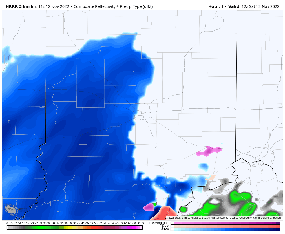
0.8” is the average November snowfall in Indianapolis. We have no changes to our ideas from yesterday with most across the region picking up anywhere from 0.5” to 1.5”, but there will likely be a couple 2”-3” reports by the time the “system” snow diminishes towards lunchtime. Please keep us posted on what you see. Despite relatively warm ground conditions, the time of day that the snow is falling along with the intensity should be more than enough to even generate slushy road conditions at times as well. Take it slow and allow yourself extra time to reach your destination if traveling this morning.
After this morning’s “thump” of snow moves to the northeast, lake effect snow showers and embedded squalls will scoot southeast across the state. These won’t add much to the morning accumulation. Temperatures will then fall into the middle 20s for most tonight.
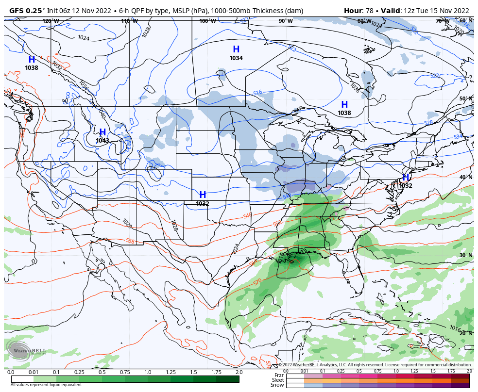
Don’t look now but another accumulating snow event will likely ride into town Tuesday…
Back-to-back accumulating snow events are tough to come by around these parts in mid November. Flip off a dime and an early start to the snow season, indeed…
You must be logged in to view this content. Click Here to become a member of IndyWX.com for full access. Already a member of IndyWx.com All-Access? Log-in here.
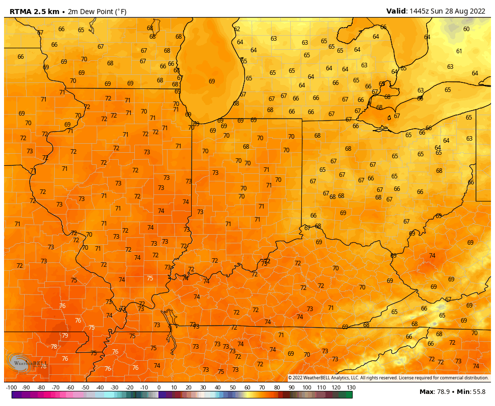
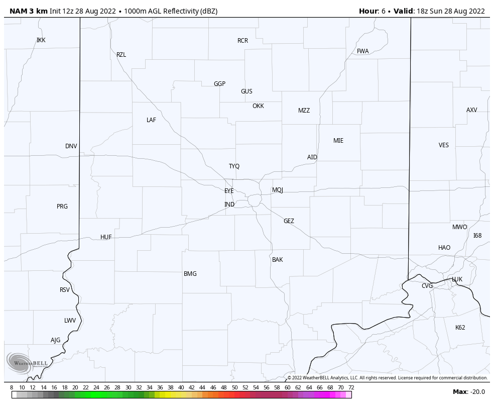
Temperatures are already pushing the 80° mark before lunchtime with sunny skies across the region.
The airmass is certainly much muggier than we’ve enjoyed as of late. Note dew points around 70° late Sunday morning across the region.
The combination of heat and humidity with just enough lift present from a warm front lifting north through the state this evening, should be enough to allow widely scattered storms to develop by evening, continuing into the early portion of the overnight. Everyone won’t see a storm and coverage won’t be nearly as widespread as what we expect at times through the early portion of the work week, but a few locally heavy downpours are likely to develop between 6p and midnight. High resolution guidance is beginning to also pick up on this.