|
Sat.
|
Sun.
|
Mon.
|
Tue.
|
Wed.
|
Thr.
|
Fri.
|
|

|
|
|
|

|
|
|
|
65/ 80
|
65/ 82
|
64/ 83
|
57/ 74
|
54/ 75
|
56/ 79
|
59/ 82
|
Widely Scattered Showers, But Most Remain Dry…Most concentrated rain and heavier rainfall totals will remain confined to southern portions of the state as an area of low pressure continues to impact the region. Here across central Indiana, look for lots of clouds, but little in the way of concentrated rain over the weekend. A widely scattered shower is possible today and Sunday, but most will remain rain-free. We officially call for a high around 80 today and in the lower 80s Sunday, but want to stress there will be a wide range in highs both days across central Indiana (due to cloud cover).
Early Week Cold Front…A cold front will sweep the state late Tuesday. Ahead of this boundary, scattered showers and thunderstorms will be possible Monday afternoon. Low pressure will form along the frontal boundary over Indiana Tuesday before moving northeast into the Great Lakes. This may aid in better coverage of showers and thunderstorms locally on Tuesday. Otherwise, we’ll note a wind shift and cooler, drier air pouring back into the area Tuesday evening.
Beautiful Mid/ Late Week Stretch…A beautiful stretch of weather is on deck for the middle and latter portion of next week. Early fall-like conditions can be expected Wednesday and Thursday, before temperatures begin to moderate Friday.
Looking a bit past the 7-day forecast shows our next storm system taking aim on the region next weekend.
7-Day Precipitation Outlook:
- 7-Day Rainfall Forecast: 0.50″-0.75″
- 7-Day Snowfall Forecast: 0.00″
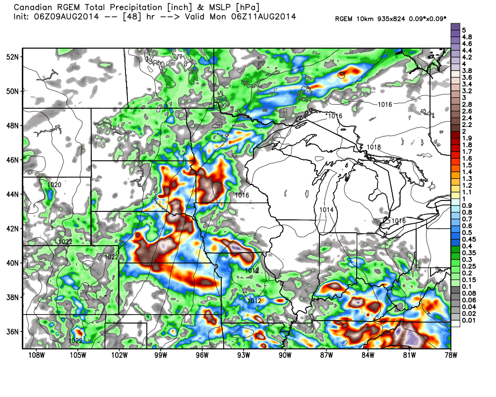
Widely scattered showers will be possible this weekend across central Indiana. More concentrated, heavier, rain is on tap across southern portions of the state.
