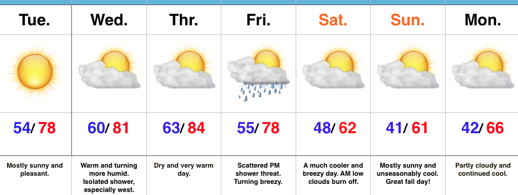
Mid Week Cold Front…
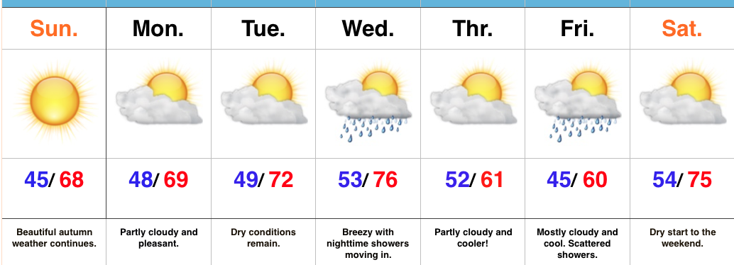 Highlights:
- Dry and cool fall weather remains
- Mid week front delivers showers and cooler air
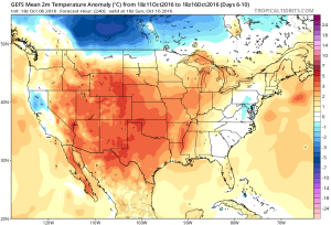
- Warm pattern develops next weekend
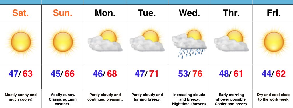
Classic Autumn Weather…Today will be just about as nice of a mid-October day that we could ask for around these parts. High pressure will supply mostly sunny skies and pleasantly cool air.
Dry weather will remain through early in the work week, along with slowly moderating temperatures as our air flow shifts to a SW direction. This will allow enough moisture return for a cold front to help spark showers Wednesday evening.
As that front sweeps through the region, reinforcing cool air will ooze back into the state. A weak disturbance will scoot south of our region Friday, but will likely be close enough to create a mostly cloudy close to the work week, along with scattered showers. Moderating temperatures return next weekend.
Upcoming 7-Day Precipitation Forecast:
- Snowfall: 0.00″
- Rainfall: 0.25″ – 0.50″
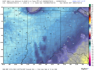
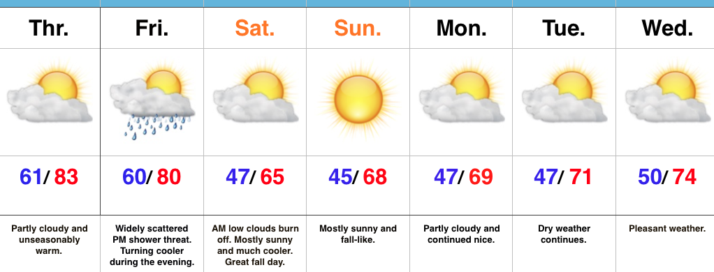
 2.) A cold front will pass through our neck of the woods as we put a wrap on the work week. While moisture is limited with the front, a much cooler air mass will greet us out the door Saturday morning. A light shower is possible Friday afternoon or evening, but this won’t be a big deal and most high school football games will remain dry. Temperatures Saturday morning will be in the 40s with lingering low clouds and areas of fog possible. We should shake the morning low cloudiness and allow for sunshine most of the day. Temperatures will remain crisp; generally in the lower to middle 60s for highs.