Steamy Thursday Ends Stormy…
The Storm Prediction Center has placed southwestern Indiana under a Slight risk of severe weather, with extreme southern Indiana now included in an Enhanced risk.
 Upper level energy will push east this afternoon and combine with an unstable air mass, along with unseasonably hot and humid air (highs today will reach the lower 90s across the southern half of the state with dew points around 70°), resulting in explosive thunderstorm development this evening. Storms will rumble east during the nighttime hours before exiting off to the east and diminishing during the early morning hours.
 We target the time frame of 6p to midnight for greatest storm coverage and the possibility of severe weather. While the greatest threat of severe is just south of the city, itself, I think all of central IN is in play for the possibility of strong to severe thunderstorms tonight. In addition to locally heavy rain, stronger storms could pose a damaging straight line wind threat along with large hail.
A couple of storms may still fire Friday afternoon in the warm and humid air mass, but a boundary will pass Friday evening, allowing less humid air to arrive Saturday. On that note, even cooler and less humid air awaits early next week.
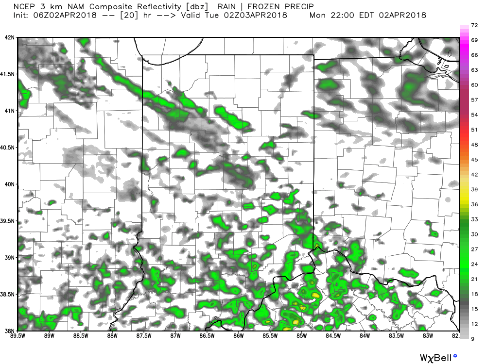
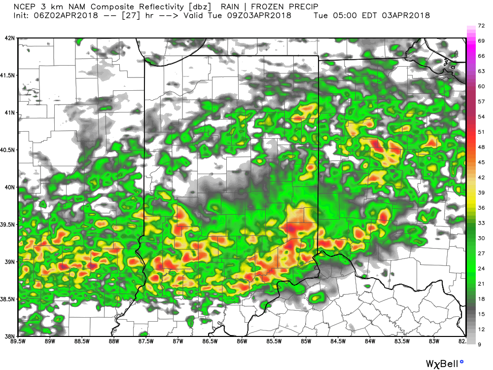
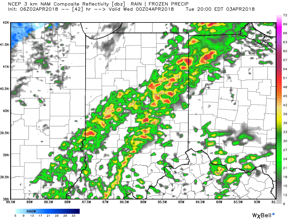
 III. Our next focus is on the prospects of late week/ weekend snow. Models will continue to struggle with the finite details over the next few days. I’m not so sure the suppressed look displayed currently is the correct one. Let’s remember, this time last week models were taking our Easter storm well to our south. We’ll keep a close eye on things over the next few days.
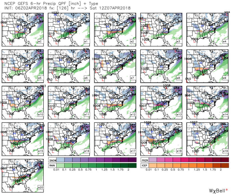 IV. Regardless of whether we get additional snow down or not, a first-class late season arctic blast will drill south this weekend. This will be cold enough to keep temperatures in the 30s for highs Friday and Saturday. Brutal stuff for early-April when average highs are around 60…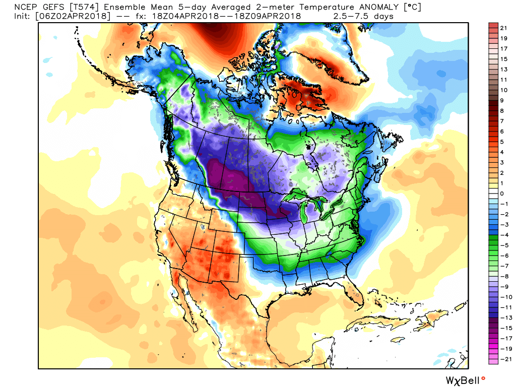
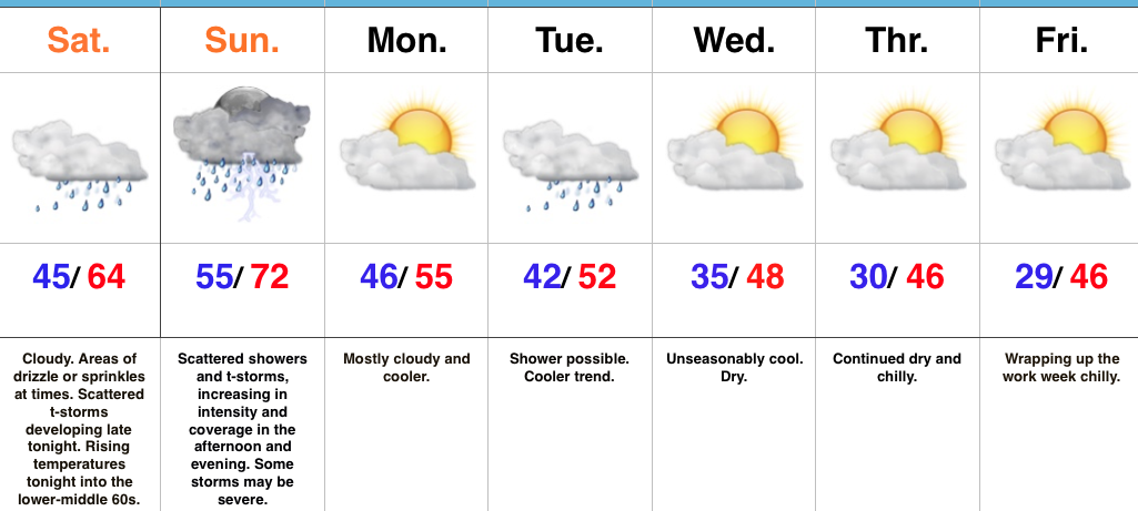 Highlights: