Nighttime Thunder…
|
Wed. |
Thr. |
Fri. |
Sat. |
Sun. |
Mon. |
Tue. |
|
|
|
|
|
|
|
|
|
71/ 89 |
70/ 88 |
70/ 87 |
69/ 86 |
62/ 84 |
66/ 89 |
70/ 82 |
|
Light |
Light |
Light |
– – – |
Light |
Light |
Moderate |
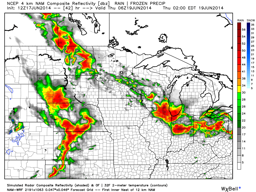
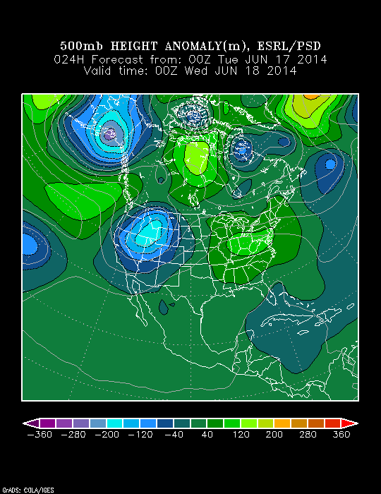
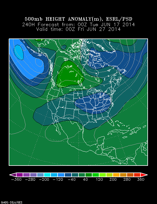
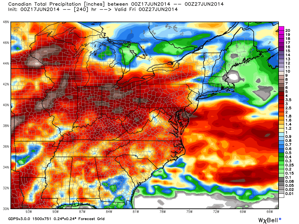
An unsettled and overall active weather pattern will remain in place over the upcoming forecast period. While it certainly won’t rain and storm the duration of the next seven days, we’ll have to focus in on individual disturbances and the associated impacts on our immediate region as we move forward. The Storm Prediction Center does include the majority of central Indiana in a Slight Risk of severe weather this afternoon and tonight, with damaging straight line winds the primary concern. All of that said, we also must point out that some of our short term model data is trending east with the thunderstorm activity tonight, primarily impacting eastern Indiana into Ohio. We’ll monitor things closely and have another update on a potential storm track and timing this evening. Stay tuned. Widespread seven day rainfall numbers off an average of computer models would place 1.5″-2″ down across central Indiana.