Updated 11.06.13 @ 10:26p
Zionsville, IN For the most part, rainfall totals today have been under what model guidance suggested. For an area still wetter than normal, that’s not a bad thing. We’re now dealing with drier conditions moving into the western parts of the state and colder air building in on a gusty northwest wind! Bundle up on your way out the door tomorrow morning as wind chills will be well into the 20s.
 Thursday: Partly cloudy; 32/ 47
After a wet and gloomy Wednesday, it’ll be nice to see the sunshine return Thursday. Prepare for a much colder and blustery day with highs not making it out of the 40s along with a gusty northwest wind around 20 MPH from time to time. You’ll want to have the heavier coat handy as morning wind chills in the 20s will only “warm” into the 30s by afternoon.
 Friday: Partly cloudy; 30/ 49
We’ll wrap up the work week with dry and chilly conditions in play. Some mid and high level cloudiness will be on the increase Friday afternoon, but won’t result in much more than what would be considered a partly to mostly cloudy sky Friday afternoon.
 Saturday: Partly cloudy; 37/ 56
A dry pattern will remain Saturday. Our air flow will back around to a more southwesterly direction Saturday and help boost temperatures to the “warmest” levels of the period. That said, middle 50s are only considered “average” for this time of year. While it won’t be considered anything more than “seasonable,” it’ll be much milder than what lies ahead next week…
 Sunday: Partly cloudy; 39/ 52
A slightly cooler air mass will settled into the region Saturday night. Partly cloudy and pleasant weather will be with us as we wrap up the weekend.
 Monday: Partly cloudy; 36/ 54
While our attention turns to colder air and a potential snow maker by mid week, you let us “worry” about that. All you need to do is enjoy a dry and pleasant start to the work week, thanks to high pressure.
 Tuesday: Increasing cloudiness; developing nighttime rain/ snow mix (1-2″); 31/ 40
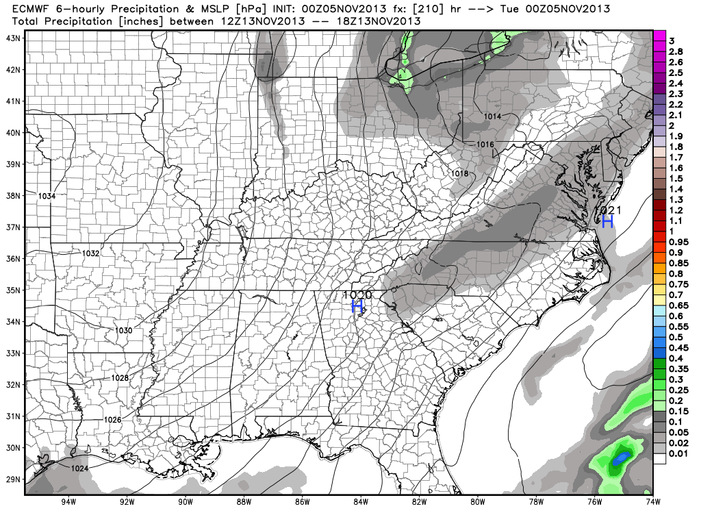
We’re keeping a close eye on a developing storm system Tuesday night. At this time, we think strong Canadian high pressure begins to funnel much colder air into central Indiana on brisk north and northeast winds. At the same time, developing upper level energy will dive southeast and assist in beginning to spread precipitation into the state as early as Tuesday afternoon.
While we’re confident in a cold pattern developing for midweek, there are more questions than answers in regards to the exact storm track and the resulting precipitation totals and precise transition to wintry precipitation. While it’s still early, there is the potential for this to be the first true widespread accumulating snow of the young ’13-’14 snow season. Stay tuned.
 Wednesday: AM clouds and flurries then decreasing cloudiness; 25/ 36
Again, we’ll have to sort out the timing and precise track with our storm system in the Tuesday-Wednesday period, but for now we think the more significant precipitation is falling to our east by Wednesday with just some lingering AM flurries and MUCH colder weather for your hump day.


