More Active Pattern Early Week…
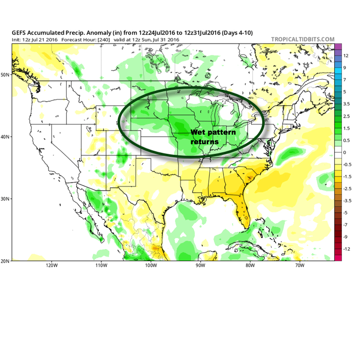
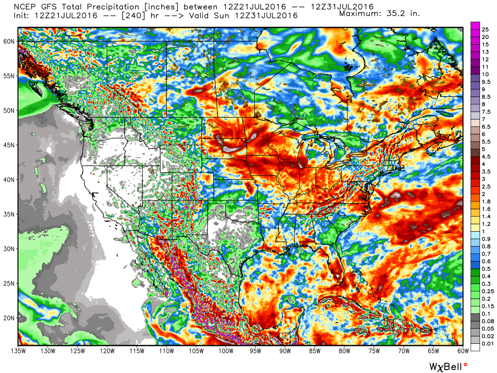
The Corn Belt and parts of the Ohio Valley will be in a favorable position for periods of storminess as we progress through the early portions of the new week.
It’s an admittedly tricky pattern when it comes down to the all-important details (timing, track, etc.), but just know from this distance, it’s a pattern conducive for thunderstorm development and localized flash flooding.
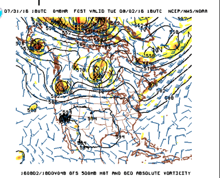
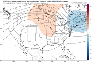
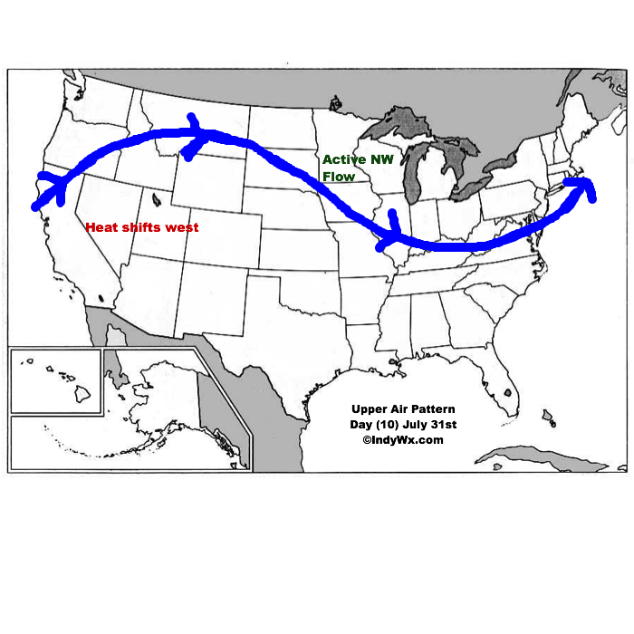
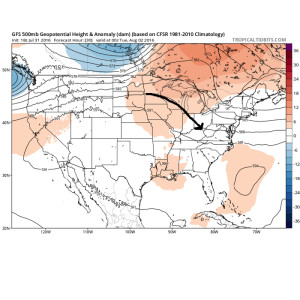
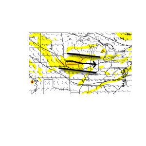
Disturbances love to ride northwest to southeast around the periphery of the ridge. Accordingly, the subtle northwest flow aloft will likely send a couple disturbances into the region over the early week stretch.
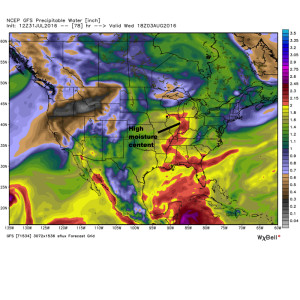
 The atmosphere will be loaded with moisture and precipitable water values (2″+) will promote localized flash flooding within the storm complexes.
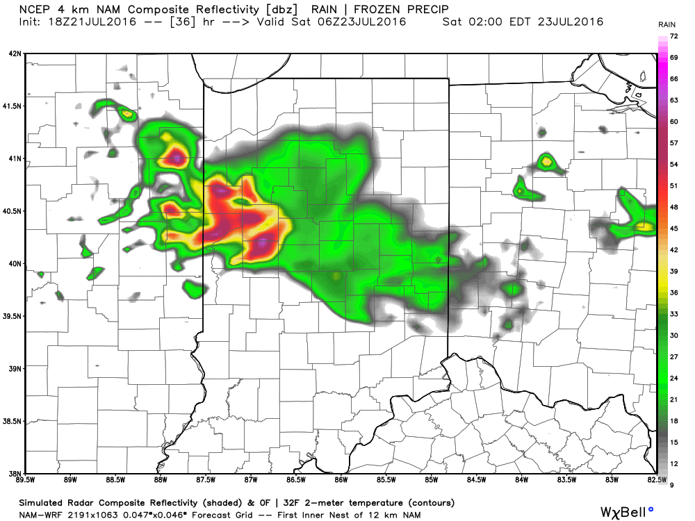
 We think the initial wave of storms will ride southeast late tonight and early Monday and could encompass SW portions of the forecast area. The pattern is favorable for additional storm complexes to travel southeast Tuesday and Wednesday, however.
With the moisture content in the atmosphere, localized flash flooding will result where training takes place. We caution that this won’t be a uniform event (some neighborhoods will see a half inch of rain this week while others may see as much as 3″-4″). We’ll have to treat each complex as they come and fine tune the specifics within the forecast.
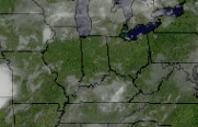 That said, things will change as we progress into the prime heating hours of the afternoon and evening. Upper level energy will rotate east out of the Plains (this morning) and across Indiana this afternoon and evening.
 This will help ignite thunderstorm development during the afternoon and evening. While a storm could impact any given neighborhood this evening, best concentration of storms should lie north of the I-70 corridor. Locally heavy rain will be a good bet with the stronger storms. Localized rainfall amounts in excess of 2″ will be possible.
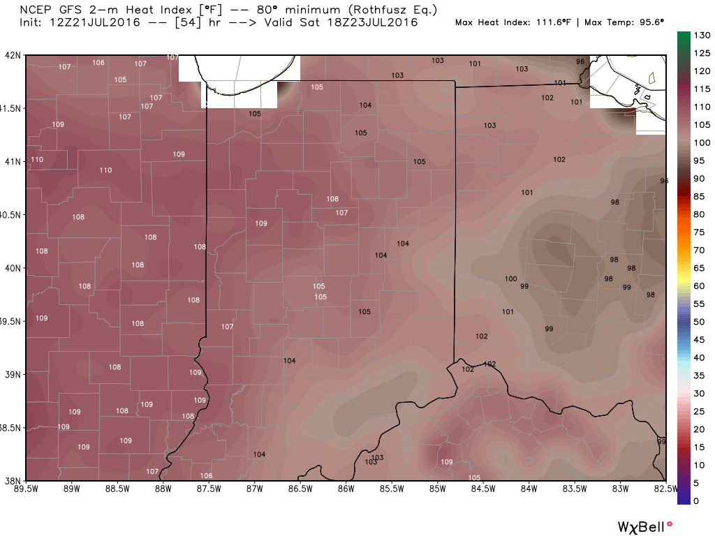
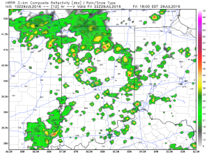 Additional scattered thunderstorm activity will continue Saturday, but there will be many more dry hours than wet/ stormy.