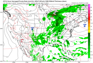
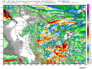
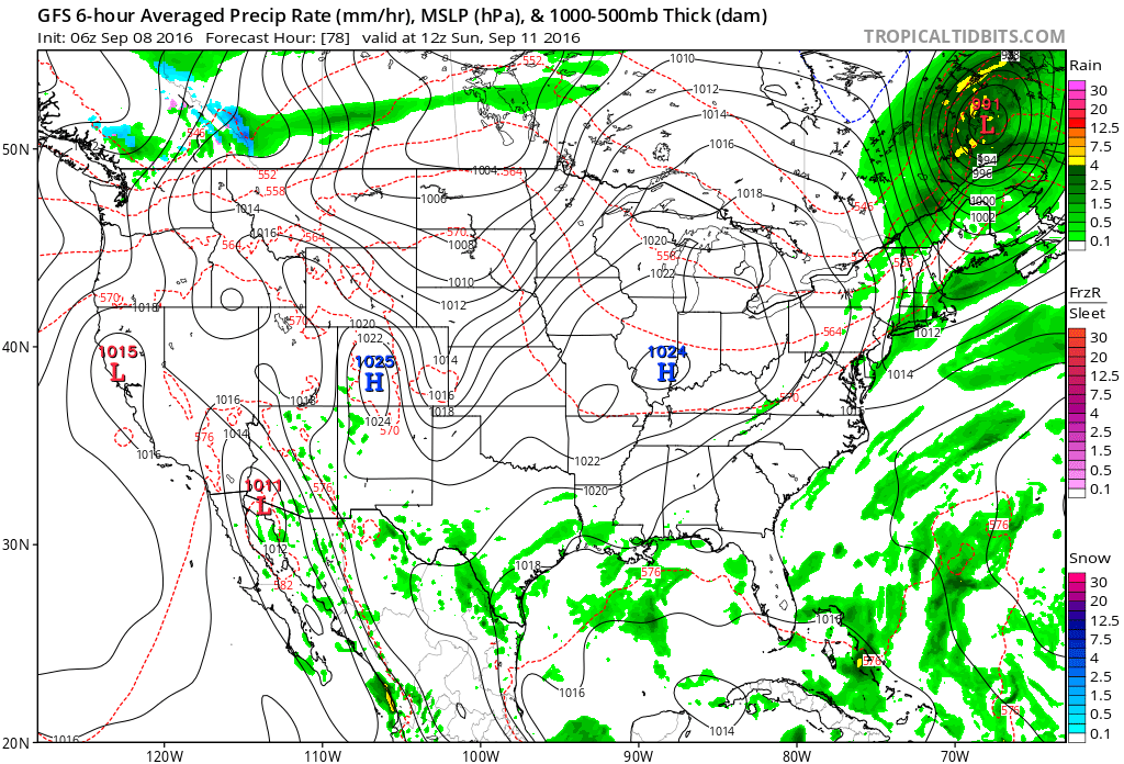
Turning Unsettled This Afternoon…
The initial push of moisture will ride into central IN this afternoon (likely between 2p-3p time frame). Embedded thunder will be a good bet, but the storms pushing in should be in a weakened state compared to what our neighbors to our west will experience a few hours earlier.
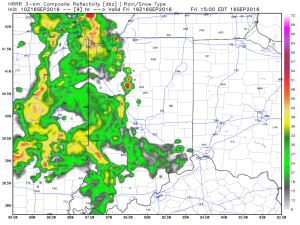 Periods of scattered showers and thunderstorms will continue Saturday. The good news? After the initial round of showers this afternoon, most high school football games could very well be dry tonight.
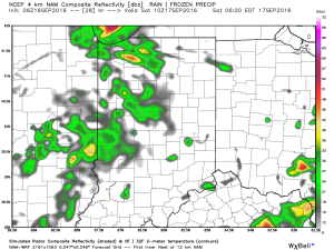
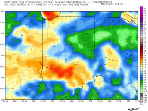
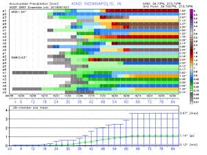
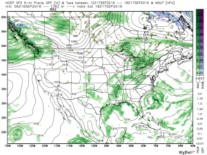 It won’t rain the entire time Saturday, but scattered storms are a good bet through the day. Some locally heavy rainfall is likely, but rain amounts won’t be uniform. On average 0.75″-1″ is a good bet.
 Sunday will be the pick of the weekend as high pressure builds in and supplies a drier air mass. Flipping the page to next week, the big story will be a late season push of summer heat followed by a significant cold front next weekend. Behind this front, a true push of bonafide autumn air will push in. Sweaters and jackets will likely be needed as we put a wrap on September…
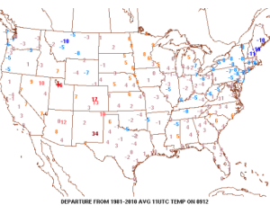
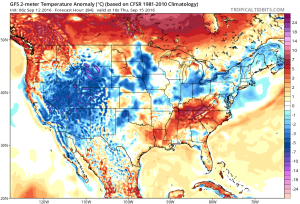
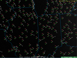 Temperatures are running slightly below average, locally, with cooler anomalies across the Northeast.
 High pressure will remain entrenched over our region today and supply dry conditions and pleasant humidity levels.
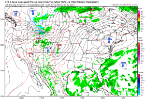 Our next storm system will push in Wednesday and as the cold front sags south through the state, it will spark scattered showers and possibly a thunderstorm.
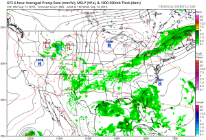 Reinforcing cool air will move in behind the front for a couple days. Lows in the lower-middle 50s with highs in the upper 70s.
 As we flip the page to the weekend, it still looks rather damp Saturday as another boundary moves in. This will have more moisture to work with when compared to Wednesday and rain coverage will be more widespread. As a whole, (7) day rainfall totals should be in the 0.50″-1.00″ range for most.