Cool And Unsettled Is The Theme…
You must be logged in to view this content. Click Here to become a member of IndyWX.com for full access. Already a member of IndyWx.com All-Access? Log-in here.
You must be logged in to view this content. Click Here to become a member of IndyWX.com for full access. Already a member of IndyWx.com All-Access? Log-in here.
You must be logged in to view this content. Click Here to become a member of IndyWX.com for full access. Already a member of IndyWx.com All-Access? Log-in here.
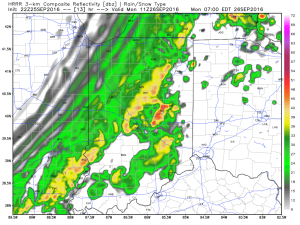
A cold front has it’s eyes set on Indiana and will pass through the state Monday morning. Ahead of the front, scattered thunderstorms that we’re seeing on radar this evening (around 8p as we type this up) will transition into more widespread showers and embedded thunder during the wee morning hours Monday as the front moves through.
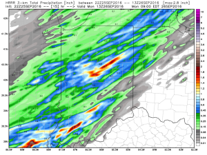
In general, rainfall totals should be around one half inch, but we do note some locally heavier totals can be expected where evening thunderstorms track.
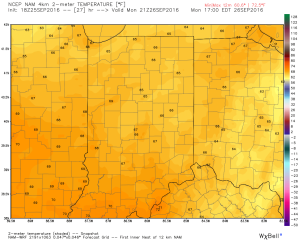
Once the front blows through Monday morning, winds will shift to the northwest and help usher in a much cooler feel of things. In fact, we expect highs tomorrow afternoon only in the upper 60s for most neighborhoods. Temperatures will then fall quickly into the 40s tomorrow night.
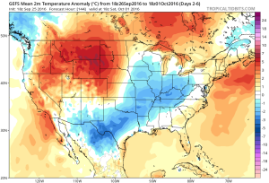
The majority of the upcoming work week will feel much more like fall, including an extended stretch of lows in the 40s to lower 50s and highs in the 60s. We’ll have to keep a close eye on the late week forecast for rain prospects in association with a cut off upper low. More details on that in the AM. Make it a great evening.
The remainder of the work week and this weekend will remain dry and unseasonably warm. Highs will generally be in the mid to upper 80s with overnight lows in the lower to middle 60s through the period. Strong ridging will keep us rain-free with plentiful sunshine.
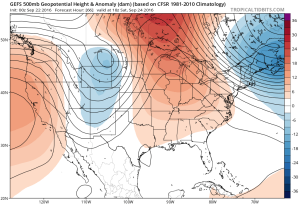 A “backdoor” cold front will approach the region from the northeast late in the weekend, but won’t have enough “umph” to push the drier, cooler air our friends across the northeast and mid Atlantic will enjoy our way.
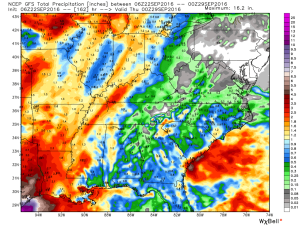
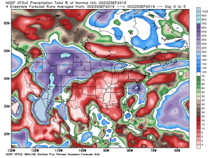
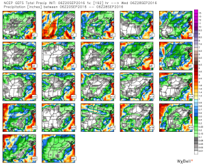
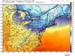 The evolution of the pattern from an unseasonably warm, dry regime to a much cooler, autumnal feel will, undoubtedly, feature showers and thunderstorms as we transition. Modeling continues to waffle back and forth in regards to rainfall totals. As of now, we’ll highlight Monday-Wednesday with increased rain chances.
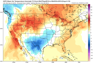
 Thereafter, we turn MUCH cooler. Data suggests Tuesday-Friday features temperatures much more like we’d expect for late September. Lows in the 45-50 degree range, along with highs between 65-70 can be expected.
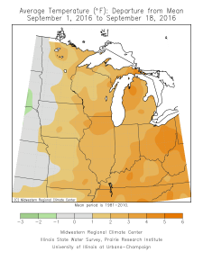
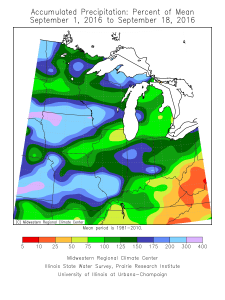
Month-to-date, September has been a warm (+3.5 degrees) and wet (+1.17″) month across central Indiana.
 The warmth continues in the days ahead, but we’re going to run much drier, overall, as strong ridging remains the dominant factor through late week.
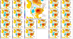
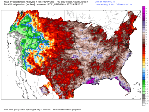
 The past (90) days have featured hefty rains across the Mid West.
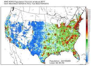
 Late season heat will grip most of the east over the upcoming (7) days. Note those population areas (nearly 90% of the lower 48) to experience at, or above, 80 degree heat between now and next Tuesday. Even areas into the Lakes and New England get in on the late summer feel.
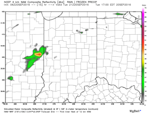
 In the shorter term, an isolated shower is possible this evening, but most should remain dry as the air is very dry across the region.
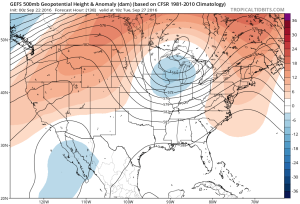
 The upper air pattern features strong ridging over the central and east over the upcoming several days. A cold front and associated trough will deliver cooler air by the early to middle part of next week.
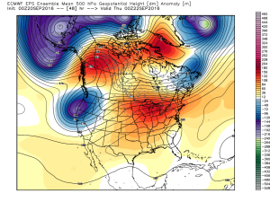
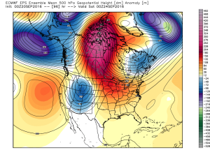
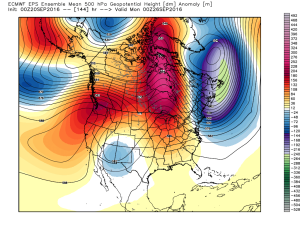
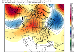 In between the warmth and pending cooler, more fall-like, air will be a round of scattered showers and thunderstorms early next week. Modeling differs on precipitation amounts, but, as of now, heavy rains aren’t looking likely.
 As mentioned, early to middle parts of next week should feature temperatures much closer to where we should be this time of year, if not a few degrees below average.