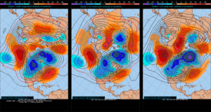
Don’t Get Lulled To Sleep…
Overall, as mild as this winter has been (particularly on the snow front), it’s easy to think we’re done with wintry precipitation- especially after this stretch of 60°+ weather. That said, we still have to get through March, and as long-time Midwesterners know, the third month of the year can yield some wild swings, including late season wintry events. Yes, including even the mild winters of the past…
Modeling is beginning to show at least a shift towards unseasonably cold conditions as we progress through the first couple of weeks of March. In the face of the prolonged stretch of April-like warmth of late, this will be a shock in and of itself.
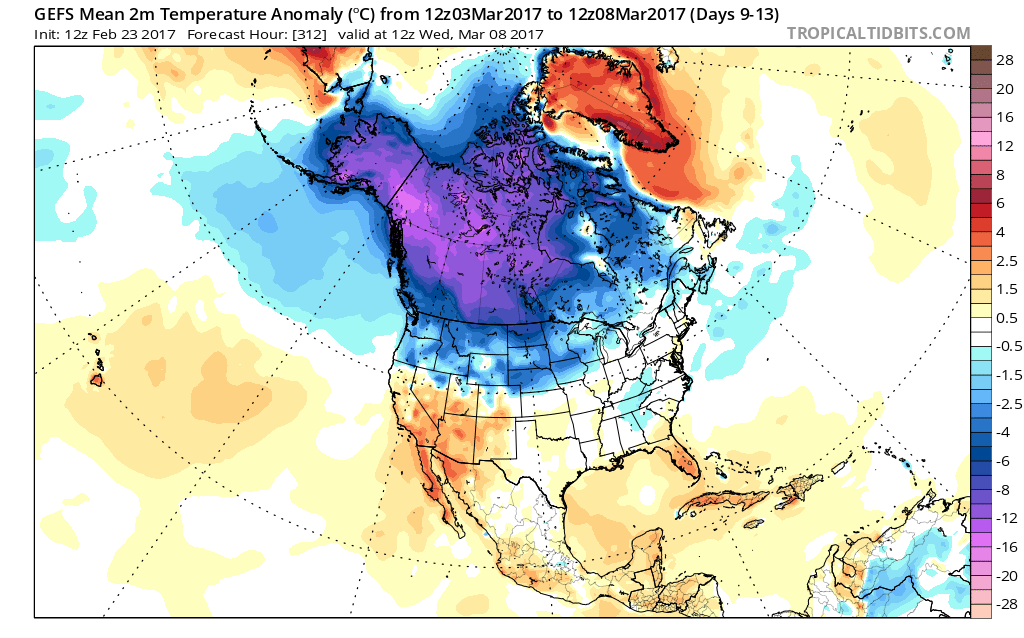
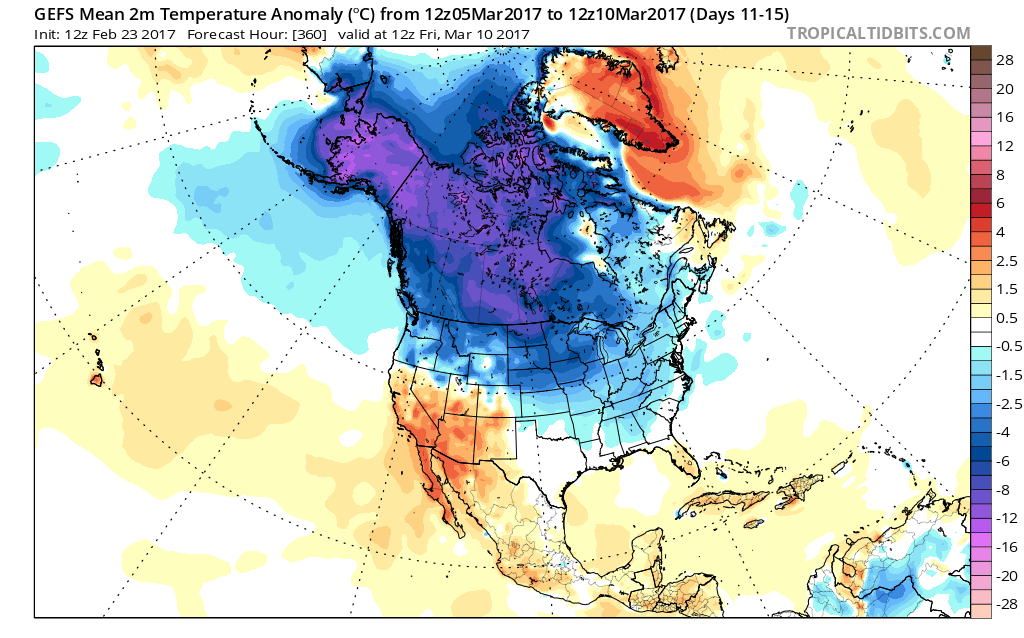
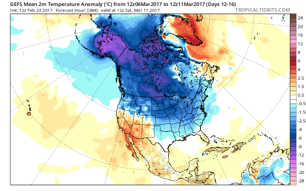 Longer-term indications would suggest the period of chilly, wintry-like, air has a window to take over, but the window is small. Trends would seem to yield warmer solutions once past mid-month, with perhaps a “stick and hold” spring regime taking over.
Before that, we have a couple of weeks in front of us to open March that won’t only provide out-of-season cold, but we must also pay close attention to the potential of northwest flow clipper systems. There’s no reason to get detailed and specific from this distance, but the pattern suggests we need to be on the look-out for the potential of one or two snow makers as we move through the first couple weeks of the month. March clippers can be a headache as the March warmth south of the track of the system can help add energy and turn a weak event into an impactful snow event to the north of the low’s track. Hoosiers don’t have to be reminded how significant March clippers can be at times. Is this the year we have to deal with one or two of these stronger clippers? Wouldn’t it be ironic after such a mild winter thus far? Don’t let Mother Nature “lull” you to sleep…
 Summary: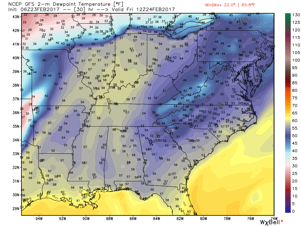
 Threats and Timing:
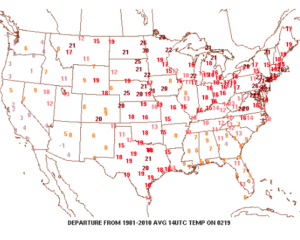
 Despite the lack of sunshine this morning, temperatures continue to run much milder than average. We’re currently running nearly 20° above where we should be at the 9a hour.
 A quiet start to the work week is ahead as high pressure dominates early on. That said, a weak storm system will scoot through the state Monday night and Tuesday morning and this will help offer up the chance of showers and perhaps a rumble of thunder.
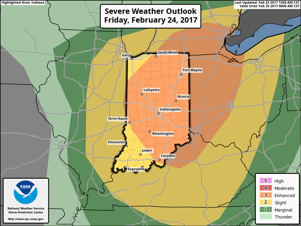
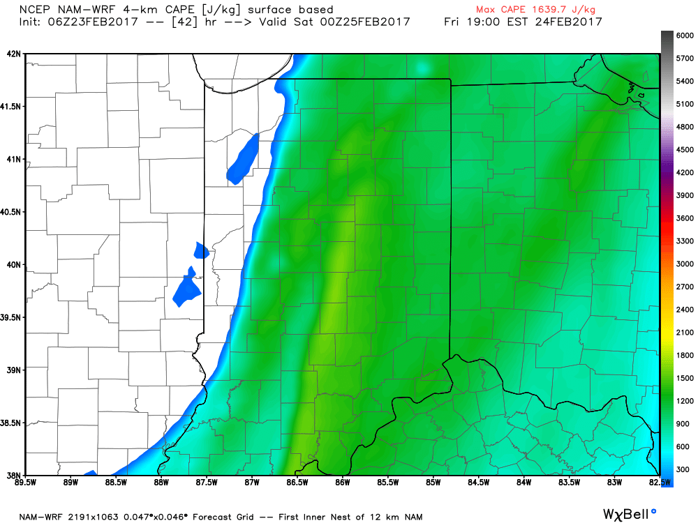
 The next (more significant) storm system will pose a severe weather risk to close the week. We continue to keep a close eye on Friday and the Storm Prediction Center is as well, with western IL, IN, and western KY in their Day 6 Outlook. It’s still early, but the primary focus with the severe potential this storm may pose will be large hail and damaging straight line winds. Stay tuned as we continue to analyze the latest data.
 We’ll turn sharply colder Friday night and Saturday. Though it’ll feel much colder, we’ll really only “chill” to seasonal levels, including a gusty northwesterly breeze Saturday.
 Longer-term, we’re rumbling into a much more active weather pattern through the mid range period. As the mean trough sets-up position in the west, the ridge will flex it’s muscle across the east yet again during early portions of Week 2. This will set the stage for a repeat of what we deal with Friday and, accordingly, we’ll have to monitor early next week for portions of severe weather yet again.