High Pressure Supports A Quiet Week; Colder Then Warming Again…
Quick post from the road on this Sunday morning before a more extensive update tonight.
High pressure will build into the Ohio Valley and support a quiet week, overall.

A “pop” of cold air will flow into the state on gusty northerly winds Tuesday night and set-up a cold midweek stretch.


Highs will fall into the 30s Wednesday and Thursday with lows in the upper teens to lower 20s. However, like so many other cold shots over the past 6 weeks, it’s of the “in and out” variety. By late week, southwest winds are developing and helping temperatures moderate going into the weekend.


We should remain dry next weekend before a more significant storm system arrives during early portions of Week 2. With dry conditions, a strengthening southwest flow and strong upper ridge, highs next weekend will approach 65°-70°.
With two weekends in a row of spring-like weather in February we sure have to believe we’ll have to pay for the nice conditions late month into March before true sustained spring conditions can take hold…
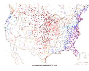 Winds will turn strong and gusty out of the southwest this afternoon, noted by the tightly packed isobars (lines of equal pressure) along with considerable mid and high level clouds.
 Clouds will lower and thicken Saturday and we may also have to deal with periods of fog, as well. Showers and drizzle will lift into town as the day progresses, especially by afternoon and evening.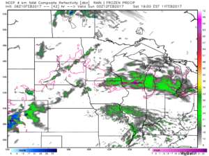
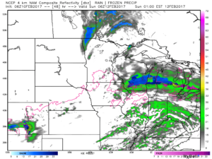 We don’t expect heavy rain this weekend. In fact, model data continues to really back off on expected totals. The general consensus is between 0.15″ and 0.25″ across central Indiana.
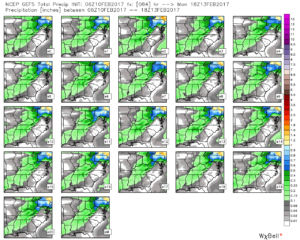 After a mild Saturday, cooler (but not cold) air will ooze into the Ohio Valley Sunday.
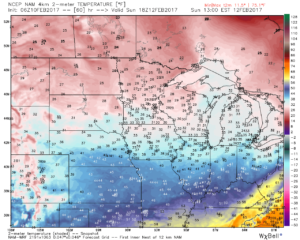 Resurgent cold air will blow into town during the middle and latter portions of the upcoming work week. Highs will return to the 30s with overnight lows in the lower 20s. We’ll likely add scattered snow showers into the mix as well.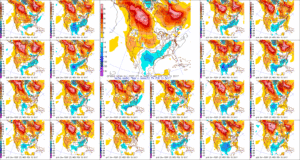
 Timing: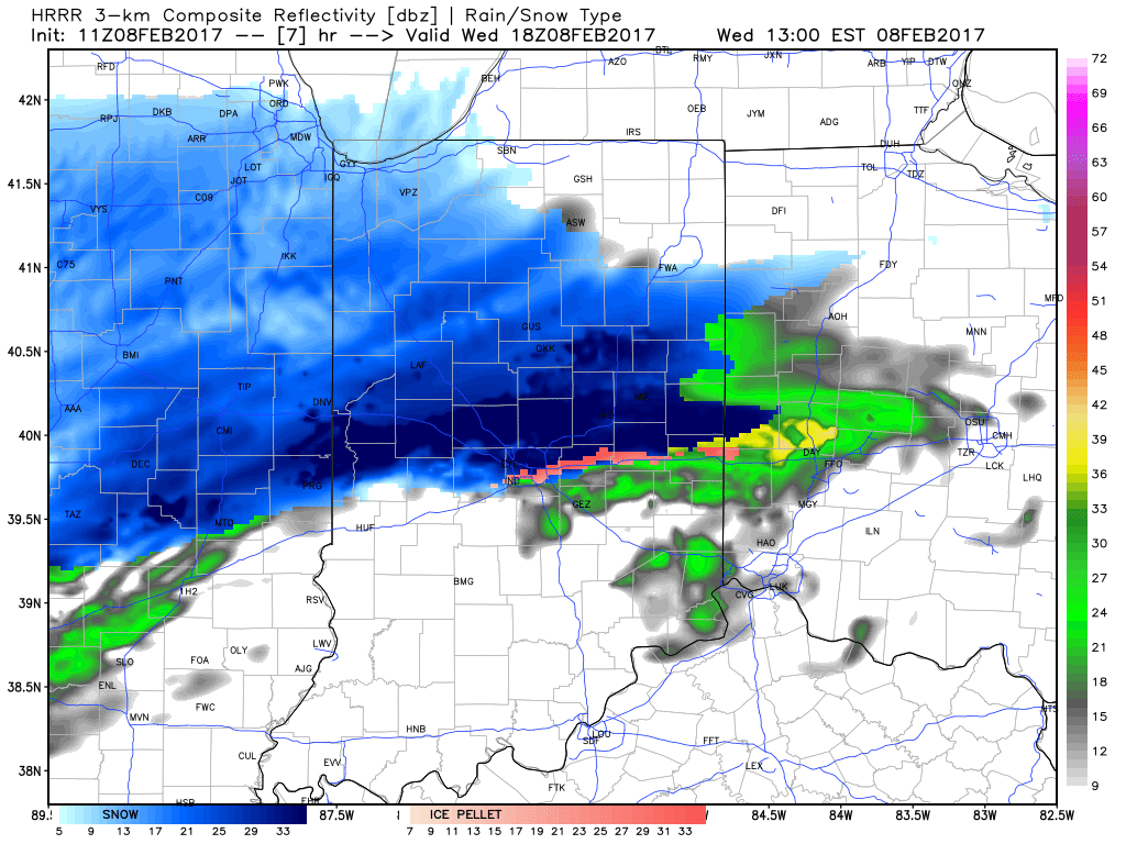


 Timing:
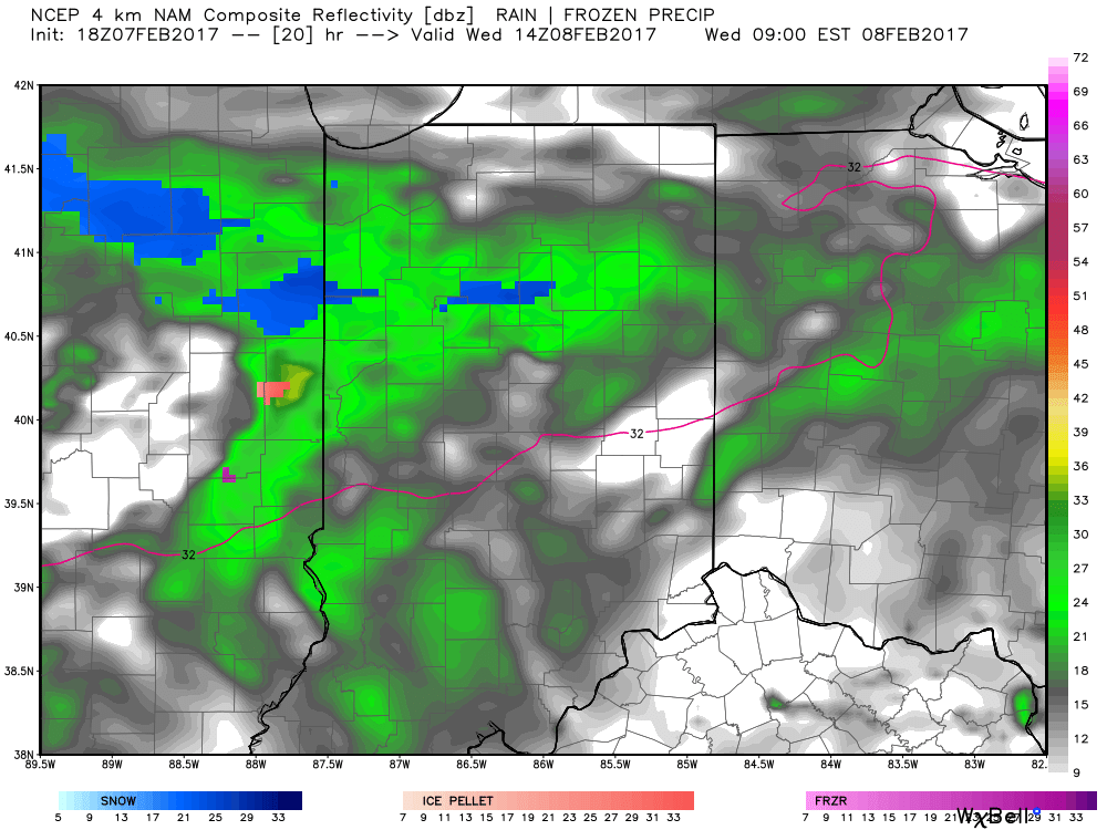 It’s not until we push into Wednesday afternoon and evening that more widespread snow will move through central Indiana, including Indianapolis.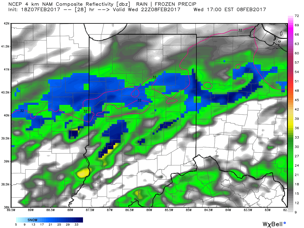
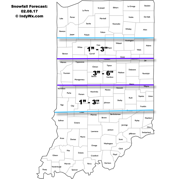
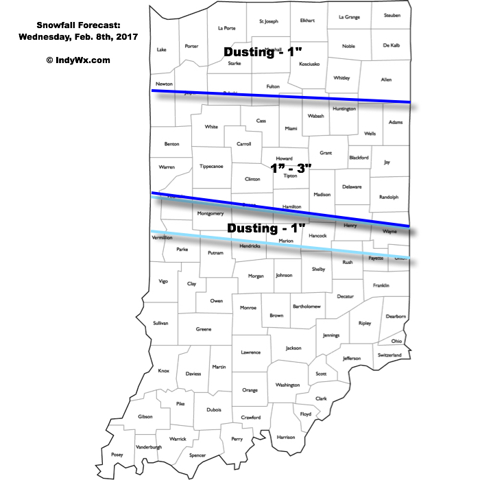
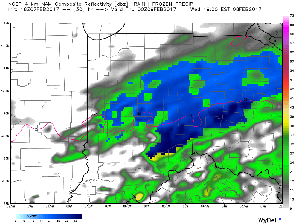 Periods of moderate to locally heavy snow can be expected through central and north-central parts of the state Wednesday evening, especially between the hours of 3p-7p. This will be a wet snow and though the snowfall intensity should be impressive at times, it’ll have a hard time accumulating from what it otherwise could be if the ground was cold. With that said, we do anticipate snowfall rates to overcome initially marginally cold air and “warm” surface temperatures. Our forecast calls for a dusting to 1″ for the city, itself, increasing to 1″-3″ north of the city- encompassing most of north-central Indiana. Roadways will likely become slushy with wet snow accumulation Wednesday evening.