While rain and chilly air are the headlines as we wrap up the work week and open another important college football weekend (my anticipation is building rapidly for my beloved Tigers taking on a dangerous MS. State squad Saturday afternoon- WAR EAGLE, btw), our attention is continuing to focus in on the potential of strong to severe thunderstorms Monday night and Tuesday morning across the region.
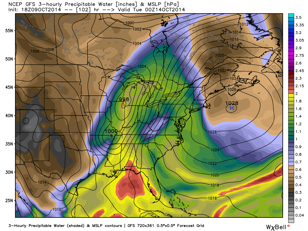
Forecast models continue to suggest strengthening low pressure will track northeast from MO into IL and MI Monday night into Tuesday morning.
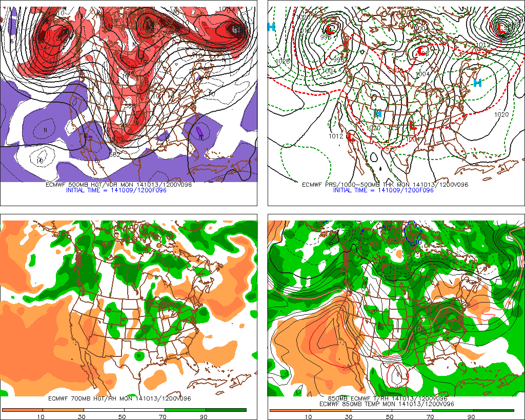
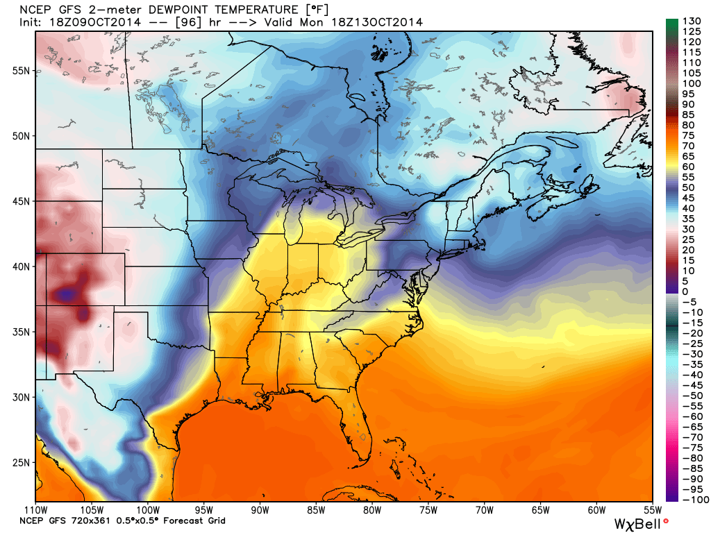
The region will briefly get into a warm and humid environment Monday and Monday night (plenty capable of fueling strong to severe thunderstorm development). Temperatures in the 70s will combine with dew points in the low to mid 60s.
A ribbon of precipitable water values will approach 2″ across the state Monday night. This supports heavy and locally flash flood producing rainfall. Forecast models continue to key on additional Monday-Tuesday rainfall in the 1-2″+ range.
We’ll continue to closely monitor the data as we move forward, but at this early juncture, make a mental note to be weather-aware Monday night into Tuesday morning as strong to severe thunderstorm potential develops.