Category: El Niño

Spring; #Plant24 Outlook…

Updated 02.10.24 @ 7:20a

Though we still have a few weeks left of meteorological winter, spring and the #Plant24 season will be here before we know it! The headlines that we anticipate to claim the coming months include the following:

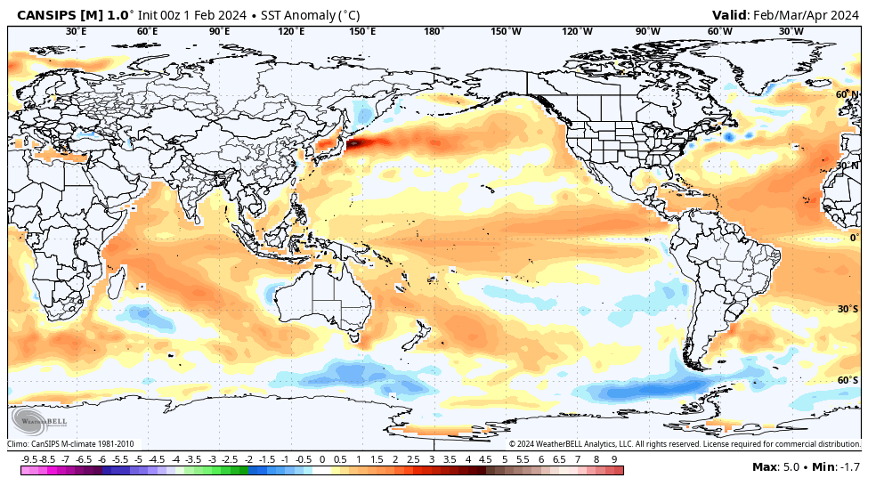
  • El Niño likely continues to collapse; La Niña state by late spring/ early summer
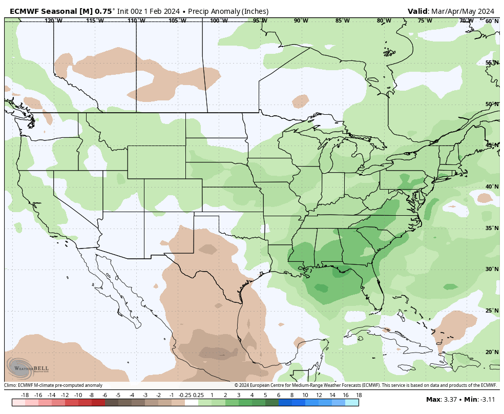
  • Widespread wetter than average conditions anticipated for a large chunk of the country, including central Indiana. Opportunity for above average severe weather episodes during the March through May (meteorological spring) time period.
  • Time to prep for a hyper active hurricane season along the Gulf and Southeast US coastlines.

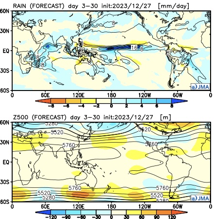
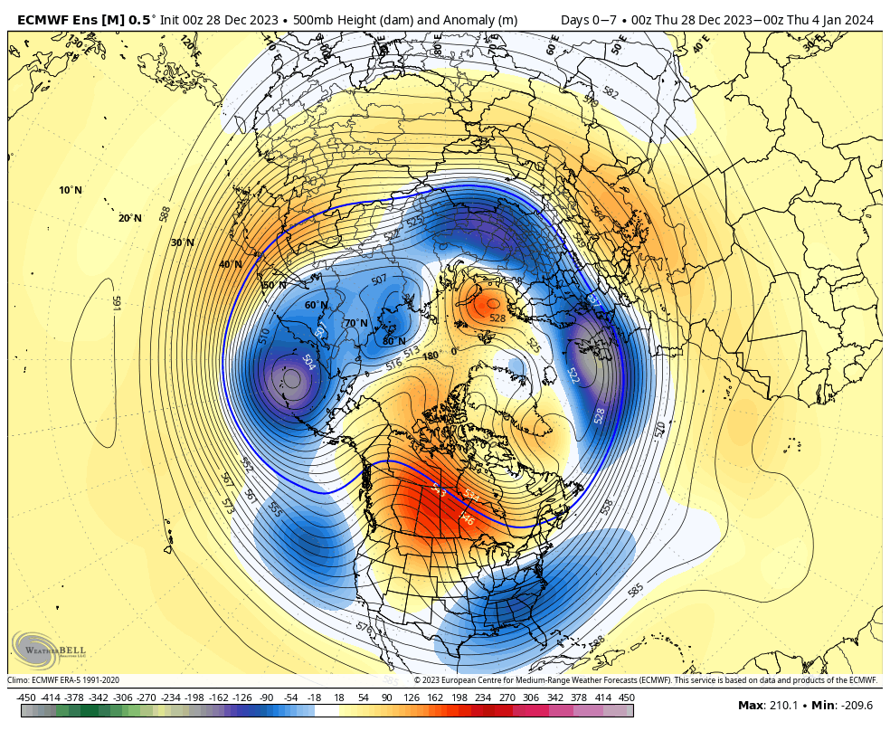
Long range, seasonal forecast models, continue to show the current El Niño collapsing and moving swiftly towards a La Niña late spring and early summer.

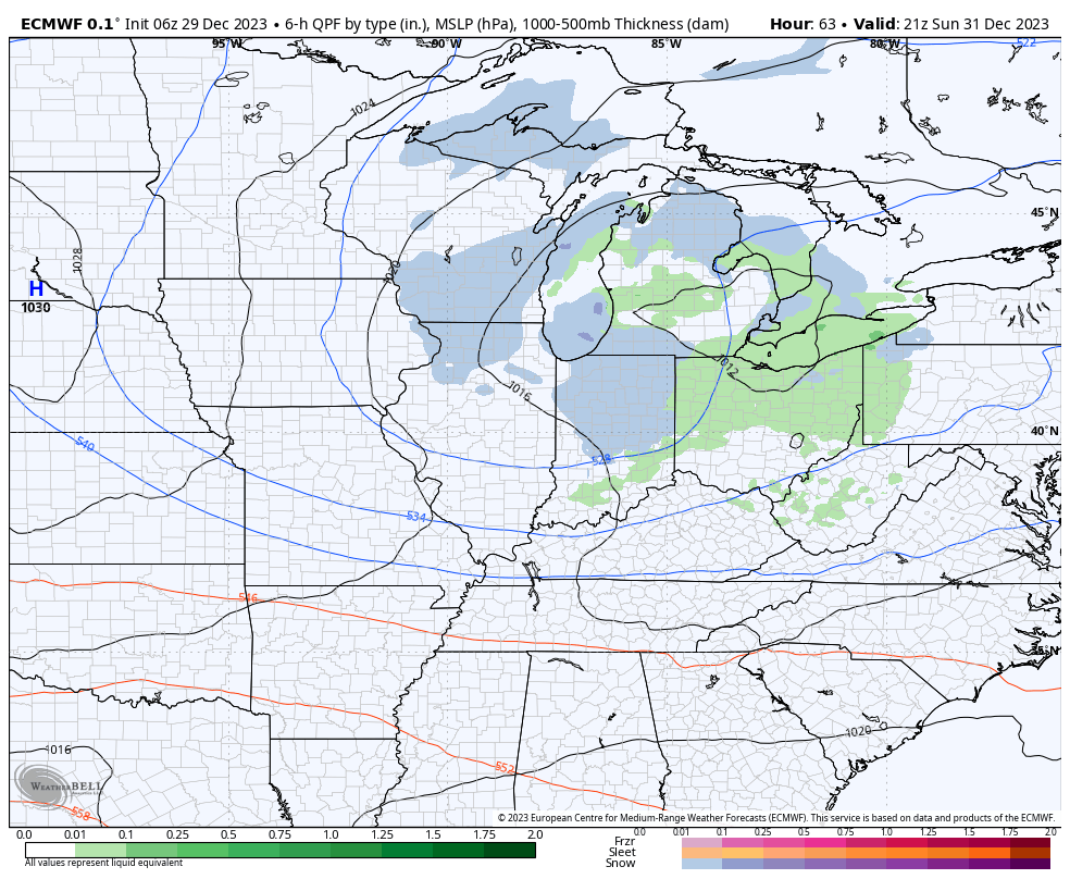
This transition will certainly have impacts on the anticipated precipitation and potential of a busier severe weather season this spring. We forecast a rather swift Nino collapse and subsequent onset of La Niña, which ups the ante for a wet spring, not only locally, but across a widespread chunk of the country. Undoubtedly, this could lead to plant24 impacts (delays) at times.

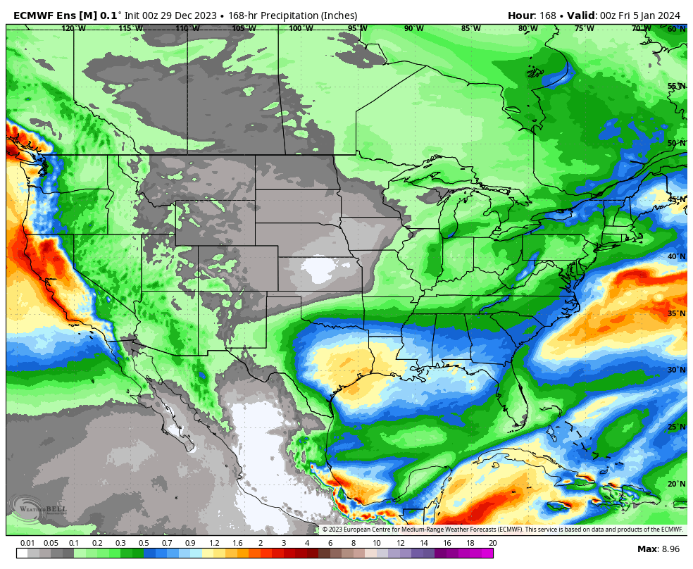
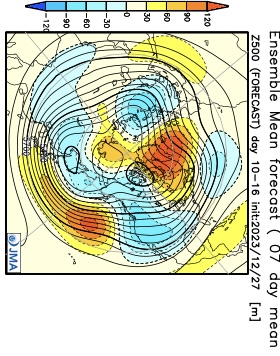
Seasonal products see the above average rain expected for spring 24.

European Seasonal Precipitation Anomalies March through May
JMA Precipitation Anomalies March through May

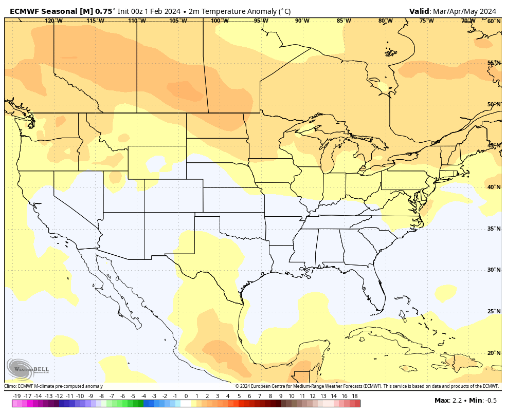
From a temperature perspective, we forecast widespread milder than normal temperatures as a whole for the season across the northern tier, including central Indiana. We caution though that the way we get to slightly (1° to 2° above normal on the season) milder overall may include wild swings through the season. For example, we forecast a colder than normal 1st half of March, the potential of a significant flip to warmer the 2nd half and a cooler pattern to return for the bulk of April.

European seasonal temperature anomalies March through May
JMA temperature anomalies March through May

IndyWx.com Spring/ #Plant24 Outlook for central Indiana:

  • Temperatures that average 1° to 2° above normal overall for the March-May period.
  • Precipitation that runs 125% to 130% of normal during meteorological spring.

Wishing the best of luck and positive vibes to all in the months ahead, especially our #AGwx partners. Happy spring!

Permanent link to this article: https://indywx.com/spring-plant24-outlook/

VIDEO: Potential Of Significant Period Of Cold; #Plant24 Pattern Thoughts…

Updated 02.05.24 @ 6p Potential is on the increase for a period of notable cold during late-February. We look into this along with the staying power, and early thoughts on…

You must be logged in to view this content. Click Here to become a member of IndyWX.com for full access.  Already a member of IndyWx.com All-Access?  Log-in here.

Permanent link to this article: https://indywx.com/video-potential-of-significant-period-of-cold-plant24-pattern-thoughts/

Long Range Update: Pattern Evolution Through The Remainder Of Winter; Open To Meteorological Spring…

Updated 01.19.24 @ 7:35a

You must be logged in to view this content. Click Here to become a member of IndyWX.com for full access.  Already a member of IndyWx.com All-Access?  Log-in here.

Permanent link to this article: https://indywx.com/long-range-update-pattern-evolution-through-the-remainder-of-winter-open-to-meteorological-spring/

Clipper Arrives New Year’s Eve; Pattern To Open ‘24…

Updated 12.29.23 @ 7:20a

First, if you didn’t have a chance to see our thoughts after the European Weeklies came in, you can check that out here.

After the snow across portions of western and southern Indiana the past couple days (thank you for all of the reports, by the way), the next feature we’re tracking has to do with a clipper system that will dive southeast across the upper Mid West and into the Ohio Valley New Year’s Eve. This will certainly be moisture-starved, but should have just enough to work with to generate snow flurries and scattered snow showers by late Sunday morning, continuing in off an on fashion into the afternoon and evening.

A weak clipper system will offer up a few snow showers New Year’s Eve.

That’s really all there is to track, locally, over the upcoming 7-day period. The predominant storm track will shift off to the south during this time frame as an active, El Niño induced, southern jet takes hold. The one potential feature of interest is out towards the end of next week. We’ll keep an eye on it, but as of now, it looks like the phasing of energy will take place just a little too far east for anything of “excitement” here.

Temperatures will continue to cool closer to seasonal averages and perhaps a bit below normal over the upcoming 10-14 days. Greatest cool anomalies will be located across the western and southern tier during this timeframe.

Permanent link to this article: https://indywx.com/clipper-arrives-new-years-eve-pattern-to-open-24/

Snowy At Times For Some; Updated Long Range Thoughts…

Updated 12.29.23 @ 7:09a

Updated with European Weekly thoughts 12/29/23 @ 7:09a

There’s no reason to change any of our thoughts concerning how things play out over the next 24 hours with our upper level low pressure system. That idea from yesterday is available here. In short, it still appears as if parts of west-central Indiana are still greatest at risk of seeing light wet snow accumulation (of course some of our friends in southwest Indiana are already enjoying waking up to snow on the ground this morning).

As we look ahead to the upcoming 3-4 weeks (will add to this post later tonight after having a chance to see the updated Euro Weekly teleconnections), it appears as if we’re heading right towards more of a predominant El Niño regime with an active southern storm track and most persistent cold, relative to average, taking up residence across the southern tier. The updated JMA Weekly model portrays this best over the course of the upcoming 28 days:

Modeling continues to struggle with the MJO evolution over the upcoming 2 week period. While this doesn’t impact the idea of colder times in the short-term period, it does have great implications beyond mid-January. The kind of amplitude shown off the American guidance (image 1 below) would threaten to deliver a much warmer than average period, locally, beyond mid-month. Meanwhile, the European (image 2 below) continues to suggest a collapse into the neutral phase.

The 2 primary other pattern drivers include the PNA and EPO through mid-January. Beyond this point, we’ll start to incorporate the likes of the NAO and AO into our forecast (hence another reason why we’re interested in seeing how the Euro Weeklies show this later today).

Simply based on how the PNA/ EPO combo is forecast, the first week would open with cooler temperatures transitioning into the region and then we would likely see moderation in the week 2 to early week 3 timeframe.

Week 1

Week 2

While we’re certainly transitioning to a cooler and more active pattern over the upcoming couple weeks, compared to where we’ve been to this point in meteorological winter, it’s not yet to a point where anything looks excessively cold or, for that matter, snowy.

That doesn’t mean that there won’t be a couple storms to track that could offer up some meaningful winter weather potential here, but I just don’t see a sustained cold, snowy pattern taking foot through mid-January. Beyond that point, we’ll have to monitor which more extreme solution plays out. Based on everything going on by that point, it’s still likely to be a situation where either more persistent (and significant) cold or warmth develops.

European Weekly update 12/29/23

The new European Weeklies show a warmer option for the 2nd half of January, but contradict their own teleconnections during this time frame. The model goes to a strong negative AO, positive PNA, negative NAO, and a neutral EPO. Of course we’ll have to see what the MJO ultimately ends up doing but that combo strongly argues for the colder option for the 2nd half of January.

Permanent link to this article: https://indywx.com/snowy-at-times-for-some-updated-long-range-thoughts/