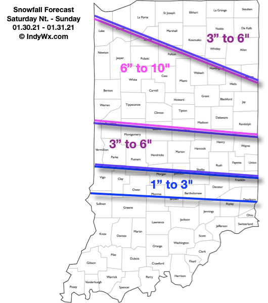
Updated 01.30.21 @ 7:28a
Type: Impactful Wintry Weather
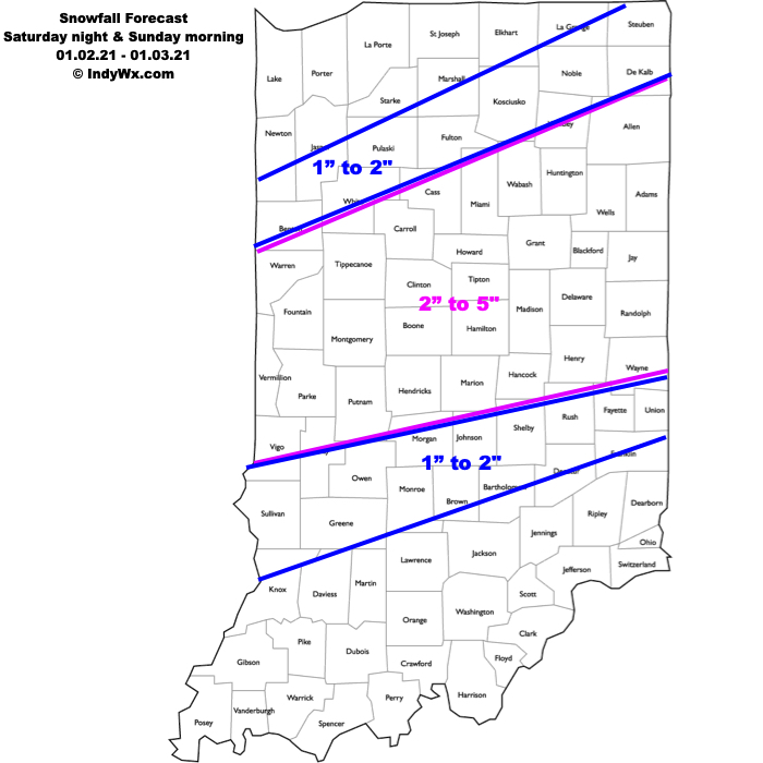
What: Accumulating snow
When: 4p Saturday – 4a Sunday
Temperatures: 29° to 33°
Wind: SE 10 – 20 MPH and gusty
Blowing/ Drifting: Minimal
Pavement Impacts: Plowing and salting will be required
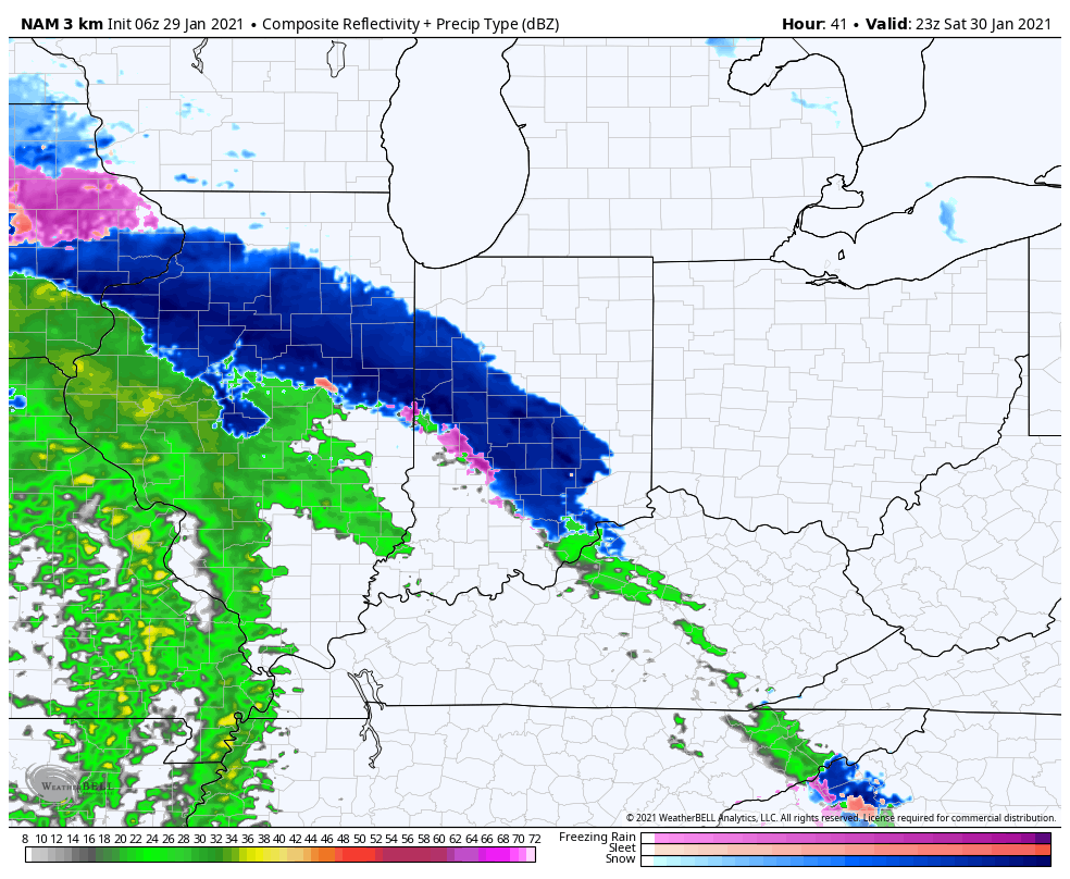
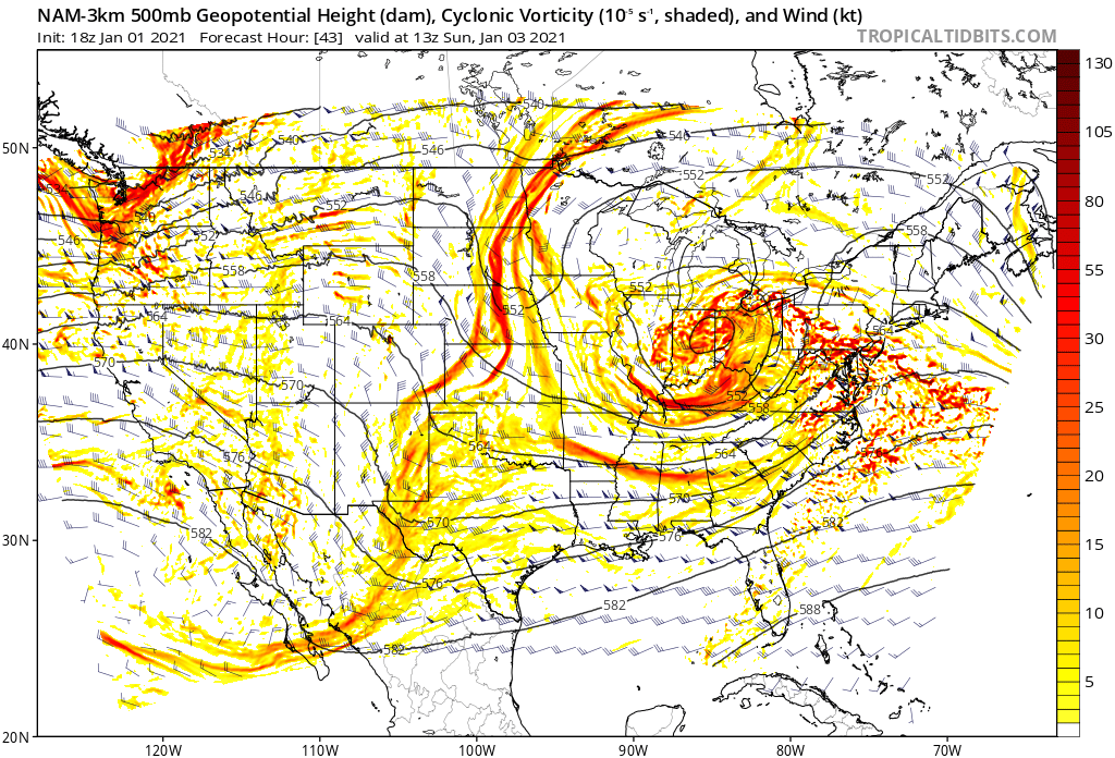
Summary: Clouds will continue to lower and thicken through the morning. By early afternoon, the sky across most of central IN will have that classic look of a snowstorm brewing, and rightfully so. The initial band of snow will arrive mid to late afternoon (we bracket 4p to 5p into Indianapolis, itself). The combination of evaporative cooling, strong lift, and embedded banding features will likely result in S+ (heavy snow) throughout the evening hours across central Indiana. This will be a wet, heavy snow. As the heavy precipitation begins, the column of air will cool rapidly late afternoon (temperatures will likely fall from around 40° into the lower 30s within less than an hr as part of the “evaporative cooling” process). Looking over the latest guidance, it continues to appear as if areas along and south of the I-70 corridor will then go just above freezing later tonight and result in a brief mix before transitioning over to rain. Drizzle or mixed rain and snow showers Sunday will transition back to snow showers throughout the afternoon, but the majority of accumulating snow across our region will fall in that 12 hour period from 4p Saturday to 4a Sunday.
Confidence: High
Next Update: This afternoon (video)