Trying to Answer Questions When Winter Will Show Up…
Daily, we’re receiving questions around if and when winter will show up. While admittedly later than originally thought here, we’ve never been in the camp of “throwing the towel” in on winter. Our winter outlook that includes below normal cold and near average snowfall remains unchanged.
Before we get into some of our reasons why we think winter will show up (and likely make up for lost time), the upcoming week will remain much warmer than average.
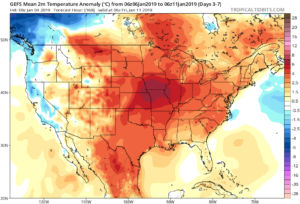
We’re tracking (3) storm systems that will deal the region rain over the upcoming week:
- Southern IN this afternoon and evening
- All of the state Monday
- All of the state next Friday into Saturday
As a whole, rainfall amounts won’t be particularly impressive for most, with 7-day totals between 0.25″ to 0.75″ for central portions of the state. Heavier amounts can be expected across southern areas.

Now, let’s look ahead to some potentially colder times. Before moving forward, it’s important that we recognize models have attempted once already to drive in a wholesale pattern change to colder (originally thought to be underway now). Perhaps it’s a case of “delayed, but not denied.” There’s a lot going on behind the scenes:
- Sudden stratospheric warming event and potential polar vortex displacement, etc.
- SOI flipping from a Niña-like state to one we’d expect to see associated with an El Niño
- Active MJO remains
There are significant changes brewing in the arctic/ higher latitudes that have to raise an eyebrow at the very least.
Today
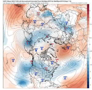
Mid-January
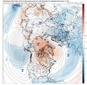
Note the higher pressures building over the upcoming 10-14 days in the arctic regions.
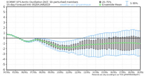
Not surprisingly, the models begin to tank the AO.
The PNA rises…
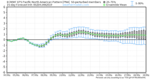
Something that also lends credence to a potential pattern shift is the recent SOI drop.
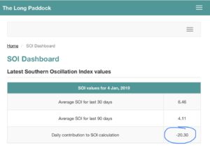
This would tend to suggest that an active storm track may be in place as the more bonafide cold shift is underway.
The moral of the story? Despite the milder period being extended a couple weeks longer than originally thought, there’s still a lot on the table this winter. It’s far too early to think winter’s over before it’s really even begun for most. We expect to see increasingly wintry conditions show up around the middle of January…
Stay tuned.


 After a chilly work week (relative to average), 60s will return this weekend and temperatures will zip into the lower and middle 70s early next week, before approaching 80° by the middle of next week.
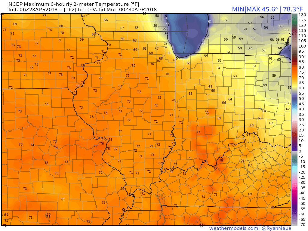 Despite the showers that will impact central Indiana today, it’s mostly a dry pattern over the upcoming 10-day period. Additional rain chances will continue Tuesday (scattered, nuisance-level) and with a frontal passage Friday. With that said, 10-day rainfall will only run between one half and three quarters of an inch for most of the region.
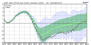
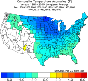 We note ensemble data is suggesting high latitude blocking tries to develop towards Day 10. Recall this was the missing ingredient in the bitterly cold blasts of air that occurred during the first few weeks of December. Both the GEFS and EPS agree on the increasingly blocky look to the pattern by Day 10. This would help drive a cold, stormy pattern by early January. Instead of storms cutting, we would see more suppression. With a “stubborn” southeast ridge, things could get interesting across the Ohio Valley from a wintry perspective….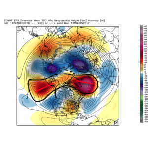
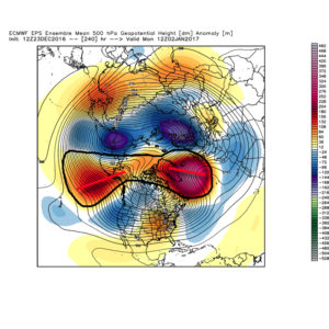 We don’t want to jump the gun, but it the positives can “hook up” over the pole, we stand the chance of locking into a rather lengthy cold, snowy regime as we rumble deeper into the heart of winter.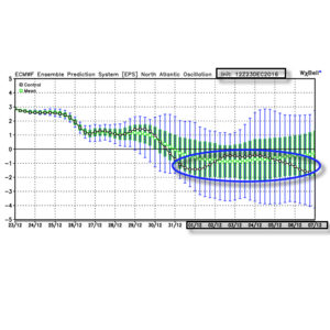
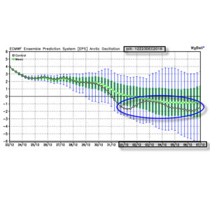 Summary: A rather mild regime remains as we rumble through Christmas before trending more seasonable next week. From a wintry perspective we need to continue to keep an eye on the period around New Year’s Eve/ Day. Confidence continues to increase on the potential of a return of arctic air come early January.
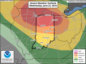 We won’t bore you with the meteorological ingredients/ lingo that are coming together to lead to an active Wednesday with this post, but please know that nearly all severe weather parameters point to the threat, and even likelihood, of an active day.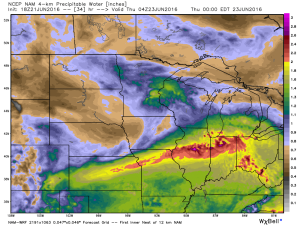
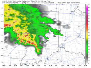
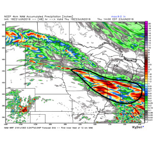 The first of multiple storm clusters will likely be moving into central IN Wednesday morning. Here’s an idea of what the radar may look like around 7a.
 We think we undergo a “lull” in the action Wednesday afternoon before a potentially more serious complex of storms blows into town during the evening hours. We caution that we’re not as confident on specific timing with the evening round of storms.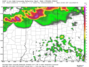
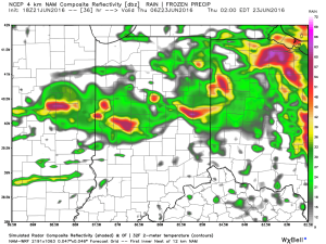 Current data would imply a tornado threat for areas from northern IL into northwestern IN with the afternoon/ evening convection before “morphing” into a more widespread damaging wind threat as the line propels southeast into the nighttime hours.