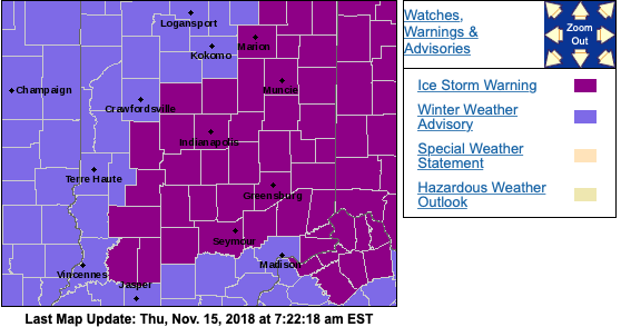
Waking Up To An Ice Storm And Looking At The Rest Of The Month…
I. A mixture of sleet and freezing rain transitioned mostly to freezing rain during the overnight and many across central Indiana are waking up to a significant “glaze” this morning (.2″ to .3″). Power outages are growing and travel is tricky in spots. If you don’t have to travel, please remain indoors.
After a “lull” in the precipitation, a burst of light snow will develop this afternoon into the early evening hours before dry conditions return tonight.
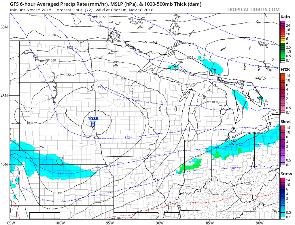
 II. As we look ahead, our next weather system will scoot into the region over the weekend. This will be a weak event and we only expect a light mixture of snow and rain Saturday evening.
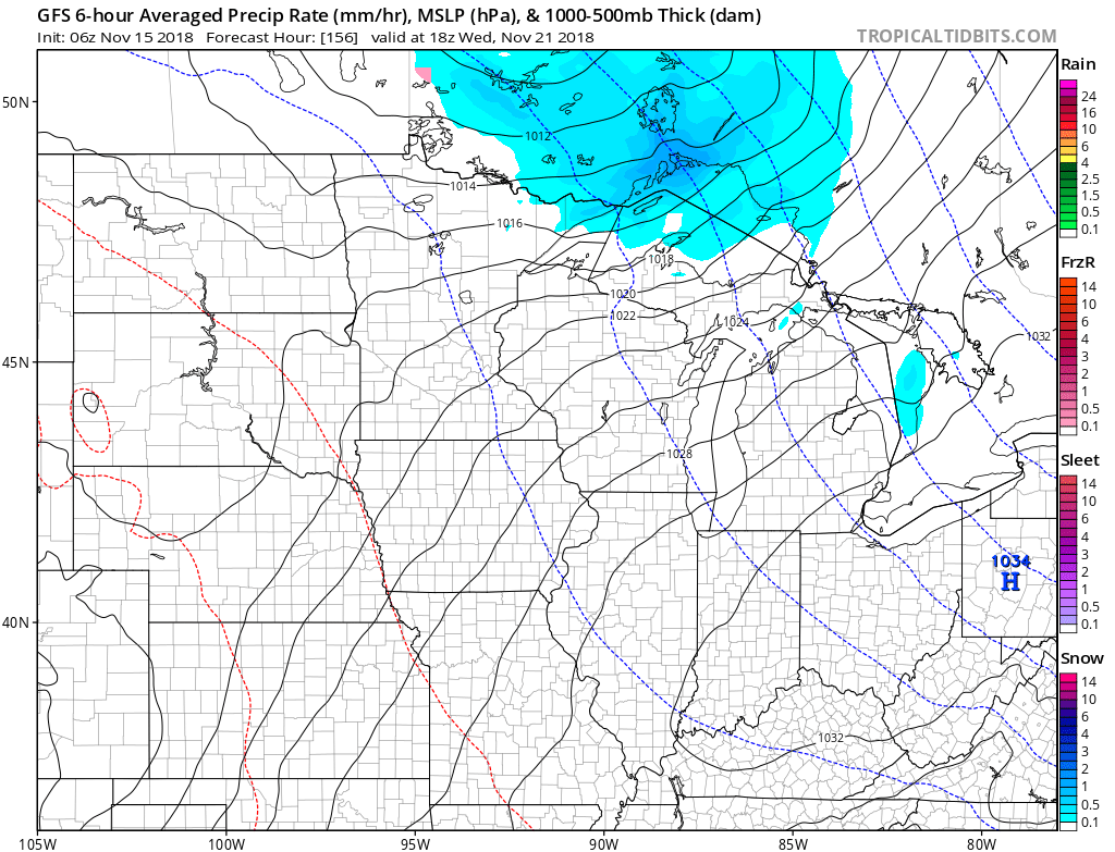
 III. The balance of Thanksgiving week looks rather quiet, but chilly, thanks to high pressure. The stretch of below to well below normal temperatures will continue, overall.
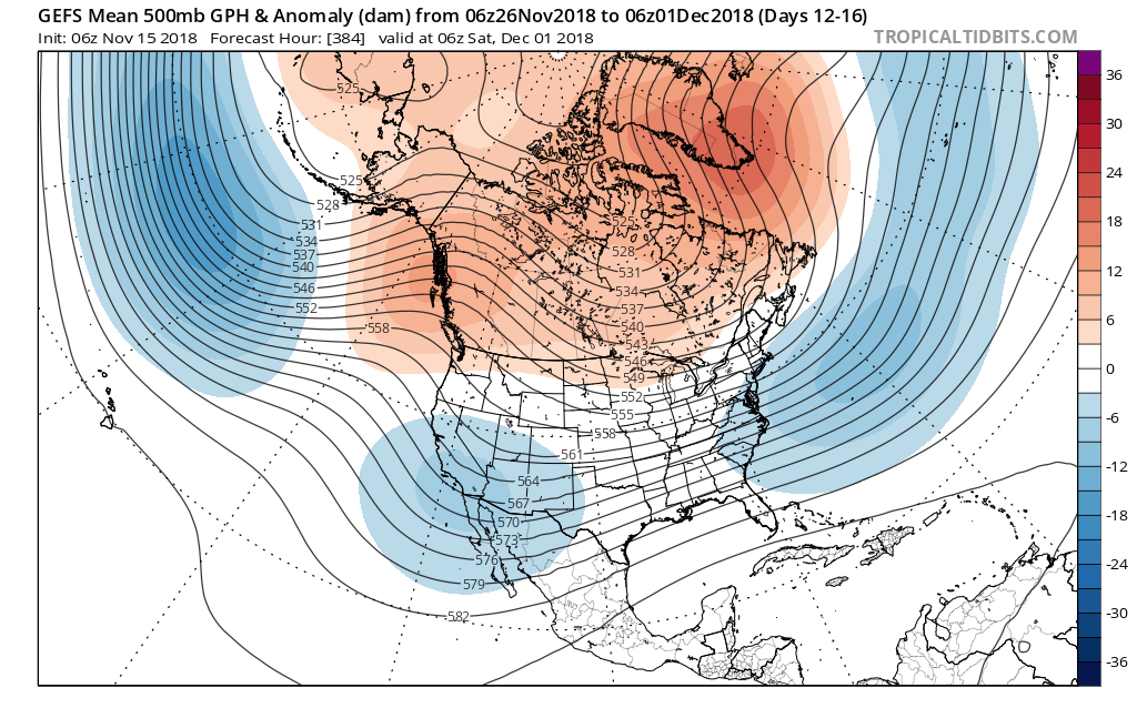
 IV. As we look ahead, the pattern sure looks cold and stormy as we open December. On that note, the majority of data continues to trend colder for the month of December, as a whole, and with high latitude blocking in place, we’d expect to see an active storm track across the country. If you like it cold and active for the holidays, you just might be in luck this year… More on that later!
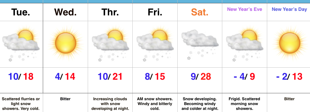 Highlights:
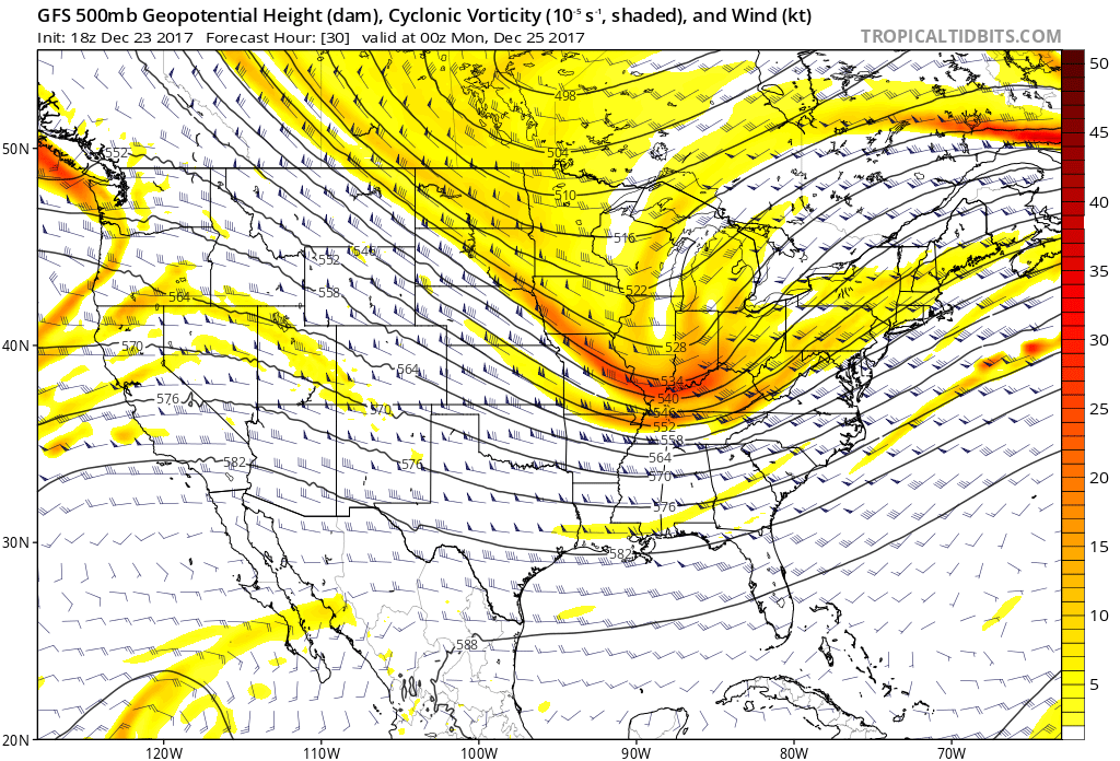 Snow will begin to overspread the state, especially north of the I-70 corridor during the mid-to-late morning hours and we expect a steady snow to fall across the northern half of the state throughout the majority of the day. A period of moderate to heavy snow should develop during the mid-to-late afternoon, continuing into the evening hours across central Indiana. Road conditions will begin to really deteriorate during this time frame as surface temperatures fall into the 20s.
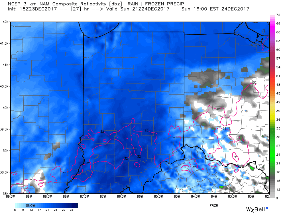 Eventually, snow will end from west (around 8p) to east (around midnight) tomorrow night, but not before depositing a widespread swath of 3″-5″ for areas generally north of I-70. For the city, itself, we think 2″ to 3″ is a good call, with generally an inch, or less across far southern portions of the state.
 Don’t be surprised if enough Christmas “magic” results in localized heavier totals with potential banding that develops tomorrow afternoon into the evening hours. All in all, this will be a classic, picturesque snow event for Christmas Eve. Hoosiers will wake up Christmas morning with a fresh blanket of white.