Category: AG Report

Weekly #AGwx And Severe Weather Outlook…

Forecast period: 07.21.19 through 07.28.19

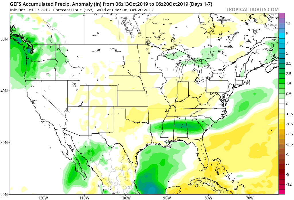
7-Day Precipitation: Rainfall is expected to run near average through the period.

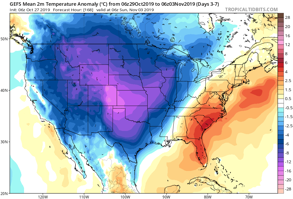
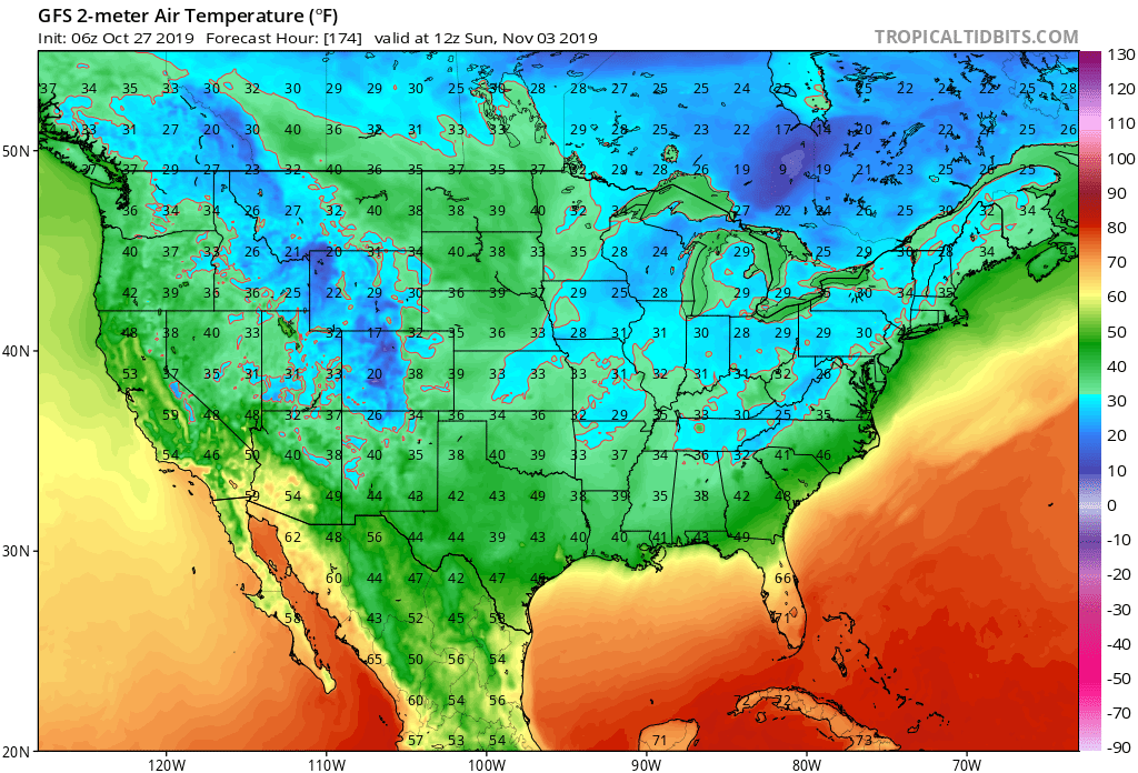
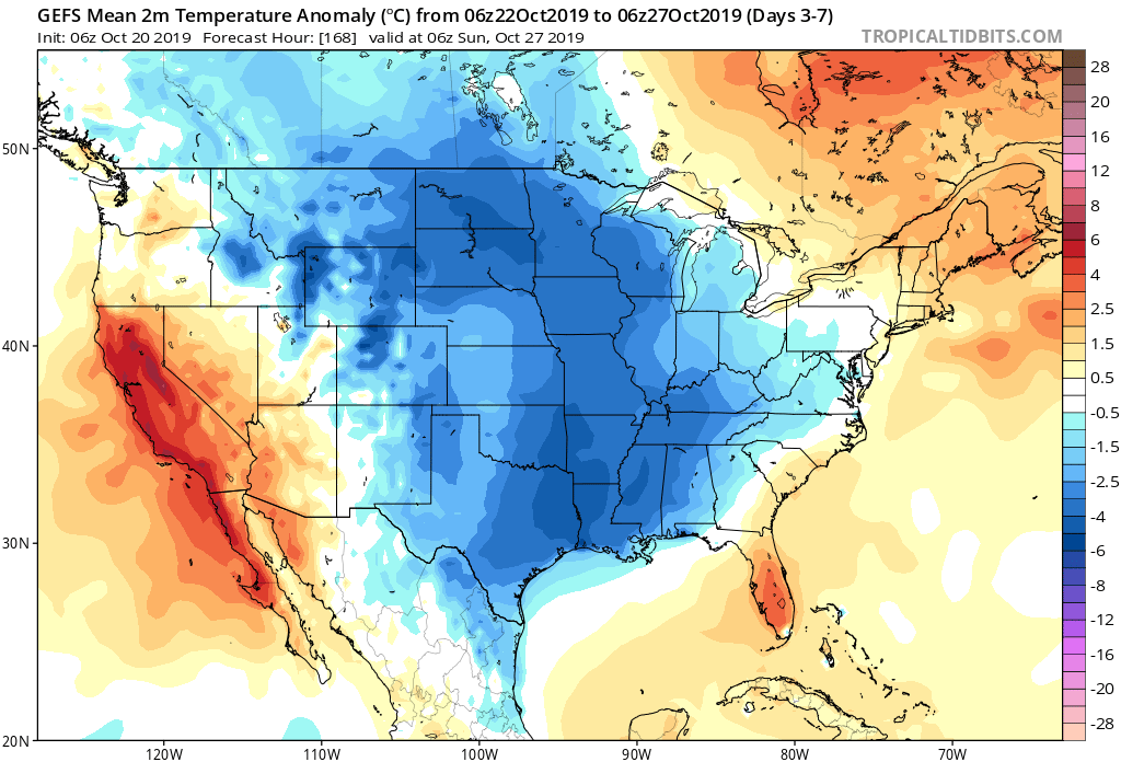
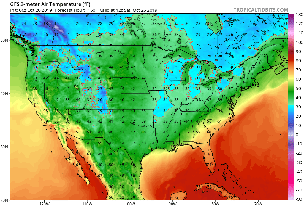
7-Day Temperature Outlook: Temperatures are expected to run below average through the forecast period.

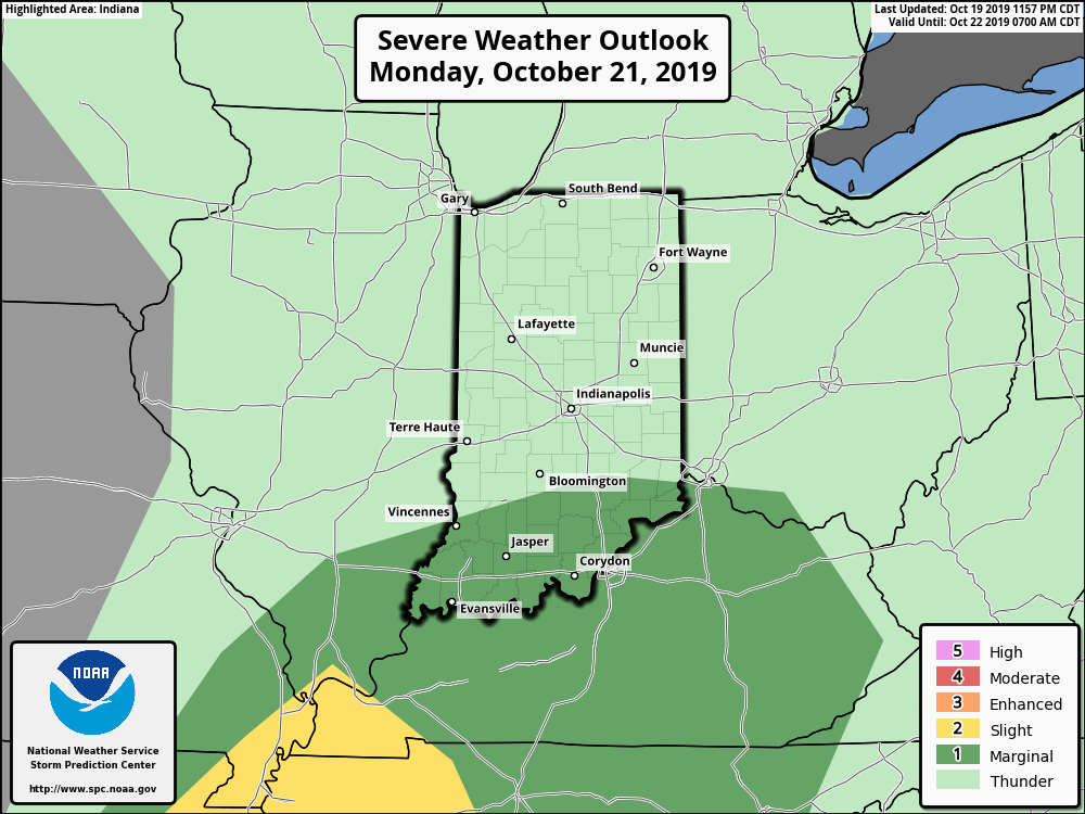
Severe Outlook: A strong cold front will slice into the unusually hot and humid air tomorrow afternoon and likely spark an increase in overall thunderstorm coverage. A few storms may become severe with large hail and damaging winds. Otherwise, after Sunday, severe weather isn’t expected through the remainder of the forecast period.

Summary: Hang in there, friends. Today will be the last ridiculously hot and humid day before we start to note relief. Sunday will still be hot and plenty humid, but will be the start of a cooler regime that will take hold in earnest by early parts of the work week. Before that, a cold front will spark scattered to numerous thunderstorms Sunday afternoon and evening and a few of these could become strong to severe. Linger upper level energy will keep shower chances in our forecast Tuesday with the much cooler temperatures. As we look forward, the next organized chance of rain and thunderstorms will come next weekend as another cold front sweeps through the Ohio Valley along with reinforcing pleasantly cool air behind the boundary.

Permanent link to this article: https://indywx.com/weekly-agwx-and-severe-weather-outlook-7/

Weekly #AGwx And Severe Weather Outlook…

Forecast period: 07.14.19 through 07.21.19

7-Day Precipitation: Rainfall is expected to run near to slightly above average through the period.

7-Day Temperature Outlook: Temperatures are expected to run well above average by the end of the period.

Severe Outlook: While widespread, organized severe weather isn’t expected through the forecast period, a couple isolated strong to severe cells are possible this afternoon (large hail is the primary concern, along with downburst wind potential). Additionally, we’ll also keep an eye on the threat of thunderstorm complexes riding southeast through the state late in the period- towards next weekend.

Summary: The story early in the forecast period will be Barry’s remnant moisture moving north and northeast across the Ohio Valley early in the work week. While we’re not expecting excessive rain across central Indiana, rain chances will be on the increase Monday through Wednesday. Thereafter, heat and humidity will be the story as a ridge of high pressure expands over the region. Dangerous heat and humidity is in store, including highs in the middle 90s and lows of 75-80 degrees into next weekend.

Permanent link to this article: https://indywx.com/weekly-agwx-and-severe-weather-outlook-6/

VIDEO: Strong Storm Threat NW Tomorrow; Where Will Soon-To-Be Barry’s Remnants Track Next Week?

You must be logged in to view this content. Click Here to become a member of IndyWX.com for full access.  Already a member of IndyWx.com All-Access?  Log-in here.

Permanent link to this article: https://indywx.com/video-strong-storm-threat-nw-tomorrow-where-will-soon-to-be-barrys-remnants-track-next-week/

VIDEO: #AGwx And Severe Weather Update- What Role Will Soon-To-Be Barry Play Down The Road?

You must be logged in to view this content. Click Here to become a member of IndyWX.com for full access.  Already a member of IndyWx.com All-Access?  Log-in here.

Permanent link to this article: https://indywx.com/video-agwx-and-severe-weather-update-what-role-will-soon-to-be-barry-play-down-the-road/

Weekly #AGwx And Severe Weather Outlook…

Forecast period: 07.01.19 through 07.08.19

7-Day Precipitation: Rainfall is expected to run above average through the period.

7-Day Temperature Outlook: Temperatures are expected to run above average through the period.

Severe Outlook: A ‘Marginal’ risk of severe weather is hoisted from the Storm Prediction Center for Wednesday, July 3rd. Otherwise, widespread organized severe weather isn’t anticipated.

Summary: A “rinse and repeat” pattern will spell daily chances of showers and thunderstorms along with an overall continuation of our hot and humid pattern from last week. Coverage of thunderstorms will likely be greatest Tuesday afternoon and evening, Wednesday afternoon and evening, and Friday evening into Saturday morning. Widespread rainfall amounts through the period should top out between 1″ and 1.5″, but there will be locally heavier amounts where stronger storms track. (A wholesale pattern change back to much cooler conditions is still on deck just past this forecast period).

Permanent link to this article: https://indywx.com/weekly-agwx-and-severe-weather-outlook-5/